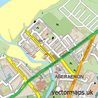
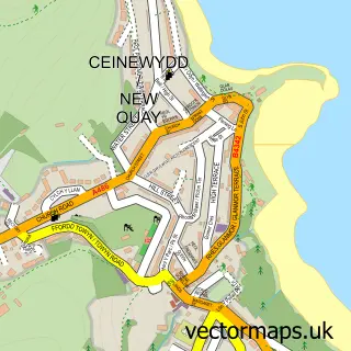
This Llanarth street map is a detailed vector street map covering a 750m x 750m area. Select a larger area to create and download your own vector street map of Llanarth.
The 750-metre map sample for Llanarth covers 206 mapped buildings and approximately 12.7 km of road detail, of which 9 named roads are named. The immediate area includes 1 school. The wider area around Llanarth features 2 hotels and 6 campsites within 2 miles. To create a larger or custom map of Llanarth, the map builder lets you define your own coverage area and download editable SVG, PDF and PNG files.
Create a larger editable map of Llanarth
Choose any area you need and generate a high-quality vector map instantly. Perfect for print, planning, design, business and personal use.

This Llanarth street map in Dyfed is available as downloadable SVG, PDF and PNG map files, or as a printed map for planning, business, display, education, local information and design work. You can also create a larger custom map area using the map selector.
What this Llanarth map sample shows
Llanarth lies within Llanarth Community parish, part of Llanarth ward in the Sir Ceredigion - Ceredigion local authority area. The postcode geography for this area includes the SA postcode area, the SA47 postcode district and the SA47 0 postcode sector. Residents fall under the Hywel Dda University Health Board for NHS services.
Local features near Llanarth
Within 2 milesAmenities and services in and around Llanarth.
Administrative and postcode information for Llanarth
Llanarth lies within Llanarth Community parish, part of Llanarth ward in the Sir Ceredigion - Ceredigion local authority area. The postcode geography for this area includes the SA postcode area, the SA47 postcode district and the SA47 0 postcode sector. Residents fall under the Hywel Dda University Health Board for NHS services.
Nearby street map samples around Llanarth


More street maps in Dyfed
750 metre map area coverage
Boundary, postcode and point of interest information for the 750m x 750m rectangle centred on this sample map.
Boundaries containing map centre
Constituency: Ceredigion Preseli Co Const
District: Sir Ceredigion - Ceredigion
Icb: Hywel Dda
Parish: Llanarth Community
Police Force: dyfed-powys
Postcode District: SA47
Postcode Sector: SA47 0
Nearby boundaries intersecting sample
No additional intersecting boundaries found.
Postcode coverage
POI category counts
Convenience Store: 4
Gas Station: 2
Arts And Entertainment: 1
Automotive Repair: 1
Beauty Salon: 1
Bed And Breakfast: 1
Car Dealer: 1
Community Center: 1
Day Care Preschool: 1
Event Planning: 1
Sample points of interest
- A C M Entertainments
- Llanina Mot & Service Station
- Little Gems Beauty to You
- Beechwood House
- DJT
- Neuadd Goffa Llanarth Memorial Hall
- Costcutter
- Premier
- Premier Central Stores
- Spar
- cylch Meithrin Llanarth
- ACM Entertainments
Create a larger editable map of Llanarth
This sample shows only a 750 metre area. To create a larger map of Llanarth, use our map builder to choose your own coverage area, add titles and download editable SVG, PDF and PNG files.
Create a custom map of Llanarth