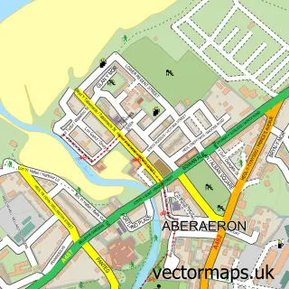
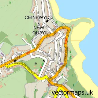
This Ffos-y-ffin street map is a detailed vector street map covering a 750m x 750m area. Select a larger area to create and download your own vector street map of Ffos-y-ffin.
The 750-metre map sample for Ffos-y-ffin covers 107 mapped buildings and approximately 8.7 km of road detail, of which 4 named roads are named. The immediate area includes 1 MOT station, with 2 within 2 miles. The wider area around Ffos-y-ffin features 1 tourism point of interest and 4 campsites within 2 miles. To create a larger or custom map of Ffos-y-ffin, the map builder lets you define your own coverage area and download editable SVG, PDF and PNG files.
Create a larger editable map of Ffos-y-ffin
Choose any area you need and generate a high-quality vector map instantly. Perfect for print, planning, design, business and personal use.

This Ffos-y-ffin street map in Dyfed is available as downloadable SVG, PDF and PNG map files, or as a printed map for planning, business, display, education, local information and design work. You can also create a larger custom map area using the map selector.
What this Ffos-y-ffin map sample shows
Ffos-y-ffin lies within Henfynyw Community parish, part of Ciliau Aeron ward in the Sir Ceredigion - Ceredigion local authority area. The postcode geography for this area includes the SA postcode area, the SA46 postcode district and the SA46 0 postcode sector. Residents fall under the Hywel Dda University Health Board for NHS services.
Local features near Ffos-y-ffin
Within 2 milesAmenities and services in and around Ffos-y-ffin.
Administrative and postcode information for Ffos-y-ffin
The local authority covering Ffos-y-ffin is Sir Ceredigion - Ceredigion, within the county of Dyfed. The settlement lies within Ciliau Aeron ward and Henfynyw Community civil parish. The SA46 postcode district and SA46 0 postcode sector serve the immediate area. NHS provision in the area is delivered through Hywel Dda University Health Board.
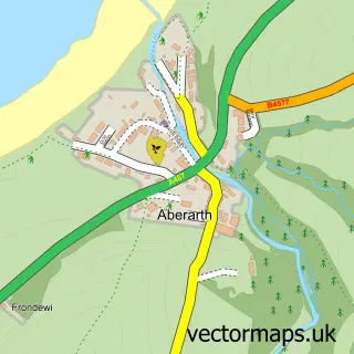
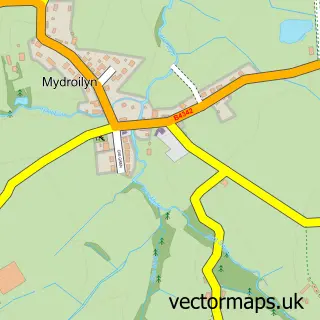
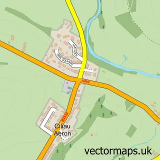
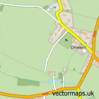
Nearby street map samples around Ffos-y-ffin

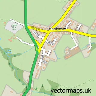
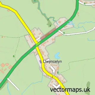
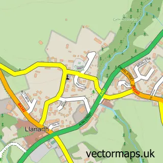
More street maps in Dyfed
750 metre map area coverage
Boundary, postcode and point of interest information for the 750m x 750m rectangle centred on this sample map.
Boundaries containing map centre
Constituency: Ceredigion Preseli Co Const
District: Sir Ceredigion - Ceredigion
Icb: Hywel Dda
Parish: Henfynyw Community
Police Force: dyfed-powys
Postcode District: SA46
Postcode Sector: SA46 0
Nearby boundaries intersecting sample
No additional intersecting boundaries found.
Postcode coverage
POI category counts
Beauty Salon: 1
Campground: 1
Car Dealer: 1
Convenience Store: 1
Courier And Delivery Services: 1
Farm: 1
Flowers And Gifts Shop: 1
Gardener: 1
Grocery Store: 1
Rental Kiosks: 1
Sample points of interest
- Pinco
- Garth View Camping Llwyncelyn
- Forge Aberaeron Limited
- Morrisons Daily
- Evri ParcelShop
- Deicin Livery & Stud
- Flowers by Solange
- Dco Gardens
- Morrisons Daily Ffosyffin
- B&S Enterprises Ltd @ Nisa Forge Business Park
- Ceir Y cardi
Create a larger editable map of Ffos-y-ffin
This sample shows only a 750 metre area. To create a larger map of Ffos-y-ffin, use our map builder to choose your own coverage area, add titles and download editable SVG, PDF and PNG files.
Create a custom map of Ffos-y-ffin