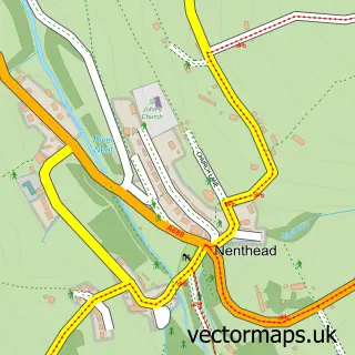
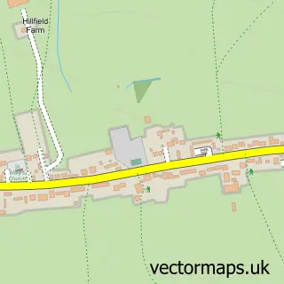
This Allenheads street map is a detailed vector street map covering a 750m x 750m area. Select a larger area to create and download your own vector street map of Allenheads.
The 750-metre map sample for Allenheads covers 54 mapped buildings and approximately 19.8 km of road detail. The wider area around Allenheads features 1 food and drink venue and 1 hotel. To create a larger or custom map of Allenheads, the map builder lets you define your own coverage area and download editable SVG, PDF and PNG files.
Create a larger editable map of Allenheads
Choose any area you need and generate a high-quality vector map instantly. Perfect for print, planning, design, business and personal use.

This Allenheads street map in Northumberland is available as downloadable SVG, PDF and PNG map files, or as a printed map for planning, business, display, education, local information and design work. You can also create a larger custom map area using the map selector.
What this Allenheads map sample shows
Allenheads lies within Allendale Cp parish, part of South Tynedale ward in the Northumberland local authority area. The postcode geography for this area includes the NE postcode area, the NE47 postcode district and the NE47 9 postcode sector. Residents fall under the Nhs North East And North Cumbria Integrated Care Board for NHS services.
Local features near Allenheads
Within 2 milesAmenities and services in and around Allenheads.
Administrative and postcode information for Allenheads
Allenheads lies within Allendale Cp parish, part of South Tynedale ward in the Northumberland local authority area. The postcode geography for this area includes the NE postcode area, the NE47 postcode district and the NE47 9 postcode sector. Residents fall under the Nhs North East And North Cumbria Integrated Care Board for NHS services.
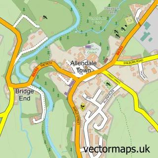
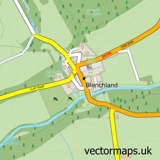
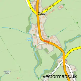
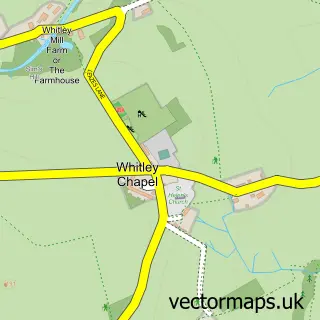
Nearby street map samples around Allenheads

More street maps in Northumberland
750 metre map area coverage
Boundary, postcode and point of interest information for the 750m x 750m rectangle centred on this sample map.
Boundaries containing map centre
Constituency: Hexham Co Const
District: Northumberland
Icb: NHS North East and North Cumbria ICB
Parish: Allendale CP
Police Force: northumberland
Postcode District: NE47
Postcode Sector: NE47 9
Nearby boundaries intersecting sample
No additional intersecting boundaries found.
Postcode coverage
POI category counts
Art Gallery: 1
Charity Organization: 1
Coffee Shop: 1
Cultural Center: 1
Hotel: 1
Inn: 1
Observatory: 1
Sample points of interest
- Allenheads Contemporary Arts
- Allenheads Trust
- The Hemmel Cafe
- The Old School House Allenheads
- Self catering at Old School House Allenheads Northumberland
- Allenheads Inn
- Allenheads Observatory at ACA
Create a larger editable map of Allenheads
This sample shows only a 750 metre area. To create a larger map of Allenheads, use our map builder to choose your own coverage area, add titles and download editable SVG, PDF and PNG files.
Create a custom map of Allenheads