This Alston street map is a detailed vector street map covering a 750m x 750m area. Select a larger area to create and download your own vector street map of Alston.
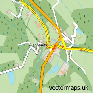
The 750-metre map sample for Alston covers 207 mapped buildings and approximately 10.2 km of road detail, of which 11 named roads are named. The immediate area includes 1 primary school and 1 secondary school, 1 railway station, 1 GP surgery and 1 pub among other local services. The wider area around Alston features 3 tourism points of interest, 6 food and drink venues and 6 hotels. To create a larger or custom map of Alston, the map builder lets you define your own coverage area and download editable SVG, PDF and PNG files.
Create a larger editable map of Alston
Choose any area you need and generate a high-quality vector map instantly. Perfect for print, planning, design, business and personal use.

This Alston street map in Cumbria is available as downloadable SVG, PDF and PNG map files, or as a printed map for planning, business, display, education, local information and design work. You can also create a larger custom map area using the map selector.
What this Alston map sample shows
Alston lies within Alston Moor Cp parish, part of Alston Moor ward in the Westmorland And Furness local authority area. The postcode geography for this area includes the CA postcode area, the CA9 postcode district and the CA9 3 postcode sector. Residents fall under the Nhs North East And North Cumbria Integrated Care Board for NHS services.
Local features near Alston
Within 2 milesAmenities and services in and around Alston.
Administrative and postcode information for Alston
The local authority covering Alston is Westmorland And Furness, within the county of Cumbria. The settlement lies within Alston Moor ward and Alston Moor Cp civil parish. The CA9 postcode district and CA9 3 postcode sector serve the immediate area. NHS provision in the area is delivered through North Cumbria Integrated Care Nhs Foundation Trust.
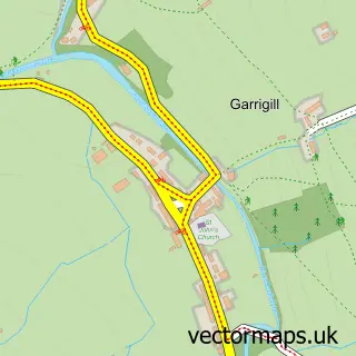
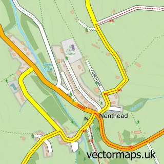
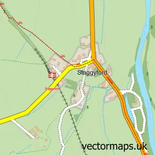
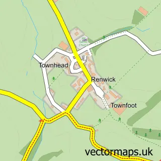
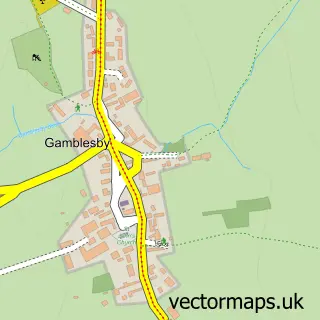
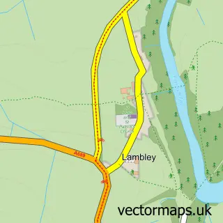
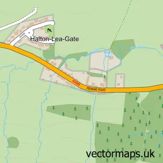
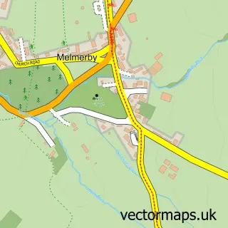
Nearby street map samples around Alston

More street maps in Cumbria
750 metre map area coverage
Boundary, postcode and point of interest information for the 750m x 750m rectangle centred on this sample map.
Boundaries containing map centre
Constituency: Penrith and Solway Co Const
District: Westmorland and Furness
Icb: NHS North East and North Cumbria ICB
Parish: Alston Moor CP
Police Force: cumbria
Postcode District: CA9
Postcode Sector: CA9 3
Ward: Alston and Fellside Ward
Nearby boundaries intersecting sample
No additional intersecting boundaries found.
Postcode coverage
POI category counts
Hotel: 6
Cafe: 5
Bed And Breakfast: 3
Hospital: 3
Shipping Center: 3
Art Gallery: 2
Automotive Repair: 2
Beauty Salon: 2
Church Cathedral: 2
Convenience Store: 2
Sample points of interest
- Haywards
- Restaurant at the Alston House
- St Augustine of Canterbury, Alston
- Swans Head
- Dominic Richardson Art
- Gallery 1611
- Tracey Taylor Art
- Grisedale Croft
- Eden Valley Autos
- Mtech Auto Engineers LTD
- Moredun Garage
- Saddlers bakery and bistro
Create a larger editable map of Alston
This sample shows only a 750 metre area. To create a larger map of Alston, use our map builder to choose your own coverage area, add titles and download editable SVG, PDF and PNG files.
Create a custom map of Alston