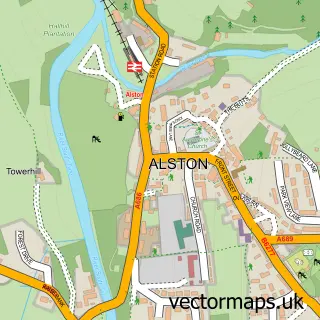
This Nenthead street map is a detailed vector street map covering a 750m x 750m area. Select a larger area to create and download your own vector street map of Nenthead.
The 750-metre map sample for Nenthead covers 119 mapped buildings and approximately 18.6 km of road detail, of which 1 named road are named. The immediate area includes 1 school and 1 pub. The wider area around Nenthead features 1 tourism point of interest, 3 food and drink venues and 1 hotel. To create a larger or custom map of Nenthead, the map builder lets you define your own coverage area and download editable SVG, PDF and PNG files.
Create a larger editable map of Nenthead
Choose any area you need and generate a high-quality vector map instantly. Perfect for print, planning, design, business and personal use.

This Nenthead street map in Cumbria is available as downloadable SVG, PDF and PNG map files, or as a printed map for planning, business, display, education, local information and design work. You can also create a larger custom map area using the map selector.
What this Nenthead map sample shows
Nenthead lies within Alston Moor Cp parish, part of Alston Moor ward in the Westmorland And Furness local authority area. The postcode geography for this area includes the CA postcode area, the CA9 postcode district and the CA9 3 postcode sector. Residents fall under the Nhs North East And North Cumbria Integrated Care Board for NHS services.
Local features near Nenthead
Within 2 milesAmenities and services in and around Nenthead.
Administrative and postcode information for Nenthead
Nenthead lies within Alston Moor Cp parish, part of Alston Moor ward in the Westmorland And Furness local authority area. The postcode geography for this area includes the CA postcode area, the CA9 postcode district and the CA9 3 postcode sector. Residents fall under the Nhs North East And North Cumbria Integrated Care Board for NHS services.
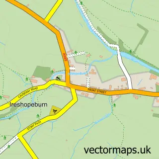
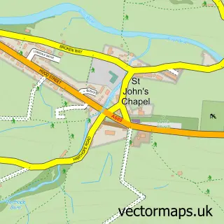
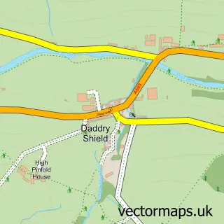
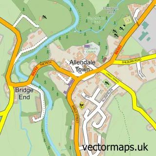
Nearby street map samples around Nenthead

More street maps in Cumbria
750 metre map area coverage
Boundary, postcode and point of interest information for the 750m x 750m rectangle centred on this sample map.
Boundaries containing map centre
Constituency: Penrith and Solway Co Const
District: Westmorland and Furness
Icb: NHS North East and North Cumbria ICB
Parish: Alston Moor CP
Police Force: cumbria
Postcode District: CA9
Postcode Sector: CA9 3
Ward: Alston and Fellside Ward
Nearby boundaries intersecting sample
No additional intersecting boundaries found.
Postcode coverage
POI category counts
Anglican Church: 1
Bicycle Shop: 1
Bus Service: 1
Cabin: 1
Cafe: 1
Childrens Clothing Store: 1
Church Cathedral: 1
Hiking Trail: 1
Hotel: 1
Museum: 1
Sample points of interest
- St John the Evangelist, Nenthead
- North Pennine Cycles
- Wright Bro's Coaches
- Rock House Estate Holiday Cottages
- The Hive at Nenthead
- Fellside Snuggles
- St John's the Evangelist Church
- Isaacs Tea Trail
- The Miners Arms (Nenthead) Ltd.
- Nenthead Mines Heritage Centre
- Nenthead Community Shop & Post office
- Miners Arms
Create a larger editable map of Nenthead
This sample shows only a 750 metre area. To create a larger map of Nenthead, use our map builder to choose your own coverage area, add titles and download editable SVG, PDF and PNG files.
Create a custom map of Nenthead