This Alstonefield street map is a detailed vector street map covering a 750m x 750m area. Select a larger area to create and download your own vector street map of Alstonefield.
The 750-metre map sample for Alstonefield covers 107 mapped buildings and approximately 14.8 km of road detail, of which 3 named roads are named. The immediate area includes 1 pub. The wider area around Alstonefield features 3 tourism points of interest and 2 food and drink venues. To create a larger or custom map of Alstonefield, the map builder lets you define your own coverage area and download editable SVG, PDF and PNG files.
Create a larger editable map of Alstonefield
Choose any area you need and generate a high-quality vector map instantly. Perfect for print, planning, design, business and personal use.

This Alstonefield street map in Staffordshire is available as downloadable SVG, PDF and PNG map files, or as a printed map for planning, business, display, education, local information and design work. You can also create a larger custom map area using the map selector.
What this Alstonefield map sample shows
Alstonefield lies within Alstonefield Cp parish, part of Hamps Valley ward in the Staffordshire Moorlands District local authority area. The postcode geography for this area includes the DE postcode area, the DE6 postcode district and the DE6 2 postcode sector. Residents fall under the Nhs Staffordshire And Stoke-On-Trent Integrated Care Board for NHS services.
Local features near Alstonefield
Within 2 milesAmenities and services in and around Alstonefield.
Administrative and postcode information for Alstonefield
The local authority covering Alstonefield is Staffordshire Moorlands District, within the county of Staffordshire. The settlement lies within Hamps Valley ward and Alstonefield Cp civil parish. The DE6 postcode district and DE6 2 postcode sector serve the immediate area. NHS provision in the area is delivered through University Hospitals Of North Midlands Nhs Trust.
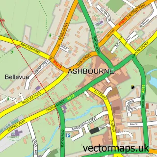
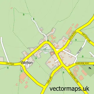
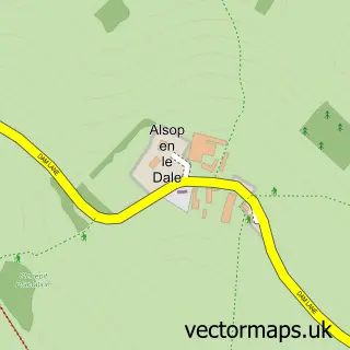
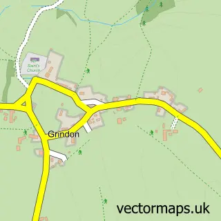
Nearby street map samples around Alstonefield

More street maps in Staffordshire
750 metre map area coverage
Boundary, postcode and point of interest information for the 750m x 750m rectangle centred on this sample map.
Boundaries containing map centre
Constituency: Staffordshire Moorlands Co Const
County: Staffordshire County
District: Staffordshire Moorlands District
Icb: NHS Staffordshire and Stoke-on-Trent ICB
Parish: Alstonefield CP
Police Force: staffordshire
Postcode District: DE6
Postcode Sector: DE6 2
Ward: Hamps Valley Ward
Nearby boundaries intersecting sample
No additional intersecting boundaries found.
Postcode coverage
POI category counts
Campground: 2
Church Cathedral: 2
Accommodation: 1
Anglican Church: 1
Automotive Parts And Accessories: 1
Cafe: 1
Community Center: 1
Cottage: 1
Farming Services: 1
Park: 1
Sample points of interest
- Alstonefield Manor
- St. Peter's, Alstonefield
- Tractor Spare Parts Ltd
- The Village Cafe - Alstonefield
- Smithy Fields Camping
- Smithy Fields Camping
- Alstonefield Parish
- St Peter's Church
- Alstonefield Village Memorial Hall
- The Stables, Alstonefield
- Tractor Spare Parts Ltd.
- Alstonefield National Park
Create a larger editable map of Alstonefield
This sample shows only a 750 metre area. To create a larger map of Alstonefield, use our map builder to choose your own coverage area, add titles and download editable SVG, PDF and PNG files.
Create a custom map of Alstonefield