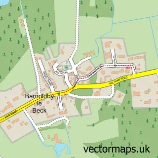
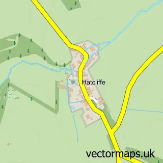
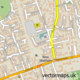
This Ashby cum Fenby street map is a detailed vector street map covering a 750m x 750m area. Select a larger area to create and download your own vector street map of Ashby cum Fenby.
The 750-metre map sample for Ashby cum Fenby covers 109 mapped buildings and approximately 5.0 km of road detail, of which 5 named roads are named. The immediate area includes 1 MOT station within 2 miles. The wider area around Ashby cum Fenby features 2 hotels. To create a larger or custom map of Ashby cum Fenby, the map builder lets you define your own coverage area and download editable SVG, PDF and PNG files.
Create a larger editable map of Ashby cum Fenby
Choose any area you need and generate a high-quality vector map instantly. Perfect for print, planning, design, business and personal use.

This Ashby cum Fenby street map in Lincolnshire is available as downloadable SVG, PDF and PNG map files, or as a printed map for planning, business, display, education, local information and design work. You can also create a larger custom map area using the map selector.
What this Ashby cum Fenby map sample shows
Ashby cum Fenby lies within Ashby Cum Fenby Cp parish, part of Waltham ward in the North East Lincolnshire (B) local authority area. The postcode geography for this area includes the DN postcode area, the DN37 postcode district and the DN37 0 postcode sector. Residents fall under the Nhs Humber And North Yorkshire Integrated Care Board for NHS services.
Local features near Ashby cum Fenby
Within 2 milesAmenities and services in and around Ashby cum Fenby.
Administrative and postcode information for Ashby cum Fenby
Ashby cum Fenby lies within Ashby Cum Fenby Cp parish, part of Waltham ward in the North East Lincolnshire (B) local authority area. The postcode geography for this area includes the DN postcode area, the DN37 postcode district and the DN37 0 postcode sector. Residents fall under the Nhs Humber And North Yorkshire Integrated Care Board for NHS services.
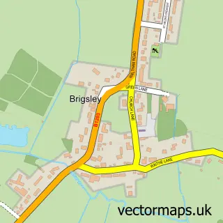
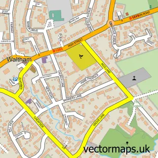
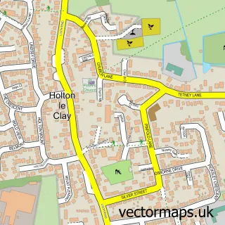
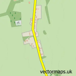
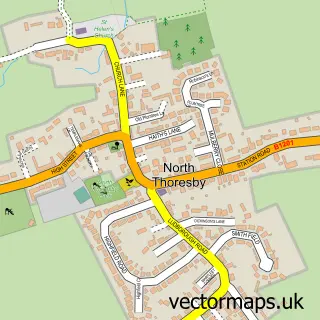
Nearby street map samples around Ashby cum Fenby
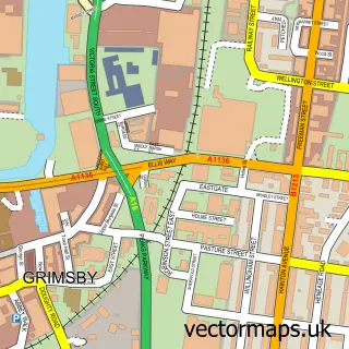

More street maps in Lincolnshire
750 metre map area coverage
Boundary, postcode and point of interest information for the 750m x 750m rectangle centred on this sample map.
Boundaries containing map centre
Constituency: Brigg and Immingham Co Const
District: North East Lincolnshire (B)
Icb: NHS Humber and North Yorkshire ICB
Parish: Ashby cum Fenby CP
Police Force: humberside
Postcode District: DN37
Postcode Sector: DN37 0
Ward: Waltham Ward
Nearby boundaries intersecting sample
No additional intersecting boundaries found.
Postcode coverage
POI category counts
Church Cathedral: 2
Hotel: 2
Accommodation: 1
Anglican Church: 1
Dog Walkers: 1
Information Technology Company: 1
Real Estate: 1
Real Estate Agent: 1
Sample points of interest
- Hall Farm Hotel and Restaurant
- St Peter's, Ashby cum Fenby
- Ashby cum Fenby Parish Council
- St Peter's Church
- Tails of Ash Trees
- Hall Farm Hotel & Restaurant
- Homefield Farm, Third Ln, Grimsby
- Tilted Software
- Snape Properties
- Snape Properties
Create a larger editable map of Ashby cum Fenby
This sample shows only a 750 metre area. To create a larger map of Ashby cum Fenby, use our map builder to choose your own coverage area, add titles and download editable SVG, PDF and PNG files.
Create a custom map of Ashby cum Fenby