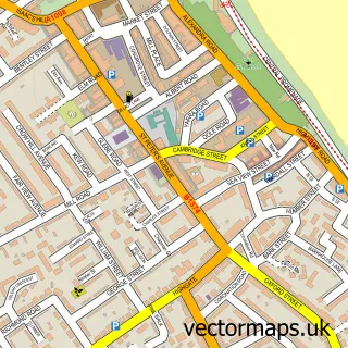
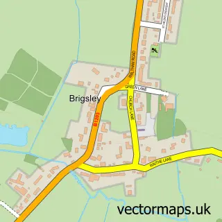
This Holton le Clay street map is a detailed vector street map covering a 750m x 750m area. Select a larger area to create and download your own vector street map of Holton le Clay.
The 750-metre map sample for Holton le Clay covers 680 mapped buildings and approximately 15.1 km of road detail, of which 39 named roads are named. The immediate area includes 2 schools, 1 pub and 1 MOT station, with 3 within 2 miles. The wider area around Holton le Clay features 3 food and drink venues. To create a larger or custom map of Holton le Clay, the map builder lets you define your own coverage area and download editable SVG, PDF and PNG files.
Create a larger editable map of Holton le Clay
Choose any area you need and generate a high-quality vector map instantly. Perfect for print, planning, design, business and personal use.

This Holton le Clay street map in Lincolnshire is available as downloadable SVG, PDF and PNG map files, or as a printed map for planning, business, display, education, local information and design work. You can also create a larger custom map area using the map selector.
What this Holton le Clay map sample shows
Holton le Clay lies within Holton Le Clay Cp parish, part of Holton-Le-Clay & North Thoresby ward in the East Lindsey District local authority area. The postcode geography for this area includes the DN postcode area, the DN36 postcode district and the DN36 5 postcode sector. Residents fall under the Nhs Lincolnshire Integrated Care Board for NHS services.
Local features near Holton le Clay
Within 2 milesAmenities and services in and around Holton le Clay.
Administrative and postcode information for Holton le Clay
The local authority covering Holton le Clay is East Lindsey District, within the county of Lincolnshire. The settlement lies within Holton-Le-Clay & North Thoresby ward and Holton Le Clay Cp civil parish. The DN36 postcode district and DN36 5 postcode sector serve the immediate area. NHS provision in the area is delivered through Northern Lincolnshire And Goole Nhs Foundation Trust.
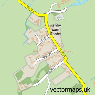
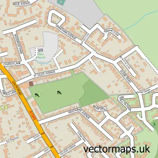
Nearby street map samples around Holton le Clay

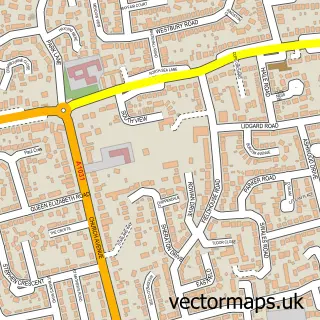
More street maps in Lincolnshire
750 metre map area coverage
Boundary, postcode and point of interest information for the 750m x 750m rectangle centred on this sample map.
Boundaries containing map centre
Constituency: Louth and Horncastle Co Const
County: Lincolnshire County
District: East Lindsey District
Icb: NHS Lincolnshire ICB
Parish: Holton Le Clay CP
Police Force: lincolnshire
Postcode District: DN36
Postcode Sector: DN36 5
Ward: Holton-le-Clay & North Thoresby Ward
Nearby boundaries intersecting sample
No additional intersecting boundaries found.
Postcode coverage
POI category counts
Convenience Store: 6
Beauty Salon: 3
Hair Salon: 3
Building Supply Store: 2
Community Center: 2
Elementary School: 2
Pizza Restaurant: 2
Police Department: 2
Professional Services: 2
Anglican Church: 1
Sample points of interest
- St Peter
- Holton-le-Clay Garage
- Charcoal Grill house
- Blink Beauty Cleethorpes
- Nail Tech Hair and Beauty
- Rage beauty
- Jettaway Drive Clean
- Sarah Anderson Bespoke Kitchens Bedrooms & Bathrooms
- Grimsby Carpet Outlet
- Rainbow Corner Kids Club
- Chiropractic First
- Jettaway Cleaning Servies Ltd.
Create a larger editable map of Holton le Clay
This sample shows only a 750 metre area. To create a larger map of Holton le Clay, use our map builder to choose your own coverage area, add titles and download editable SVG, PDF and PNG files.
Create a custom map of Holton le Clay