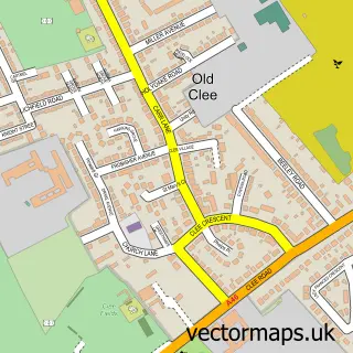
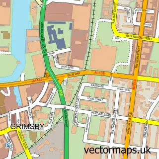
This Cleethorpes street map is a detailed vector street map covering a 750m x 750m area. Select a larger area to create and download your own vector street map of Cleethorpes.
The 750-metre map sample for Cleethorpes covers 417 mapped buildings and approximately 23.2 km of road detail, of which 67 named roads are named. The immediate area includes 1 school, 9 GP surgeries within 2 miles, 10 pubs and 4 MOT stations, with 24 within 2 miles. The wider area around Cleethorpes features 7 tourism points of interest, 38 food and drink venues and 9 hotels. To create a larger or custom map of Cleethorpes, the map builder lets you define your own coverage area and download editable SVG, PDF and PNG files.
Create a larger editable map of Cleethorpes
Choose any area you need and generate a high-quality vector map instantly. Perfect for print, planning, design, business and personal use.

This Cleethorpes street map in Lincolnshire is available as downloadable SVG, PDF and PNG map files, or as a printed map for planning, business, display, education, local information and design work. You can also create a larger custom map area using the map selector.
What this Cleethorpes map sample shows
Cleethorpes lies within North East Lincolnshire (B) parish, part of Haverstoe ward in the North East Lincolnshire (B) local authority area. The postcode geography for this area includes the DN postcode area, the DN35 postcode district and the DN35 0 postcode sector. Residents fall under the Nhs Humber And North Yorkshire Integrated Care Board for NHS services.
Local features near Cleethorpes
Within 2 milesAmenities and services in and around Cleethorpes.
Administrative and postcode information for Cleethorpes
Cleethorpes lies within North East Lincolnshire (B) parish, part of Haverstoe ward in the North East Lincolnshire (B) local authority area. The postcode geography for this area includes the DN postcode area, the DN35 postcode district and the DN35 0 postcode sector. Residents fall under the Nhs Humber And North Yorkshire Integrated Care Board for NHS services.
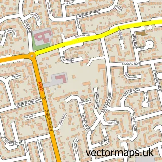
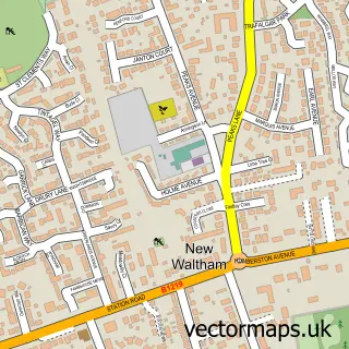
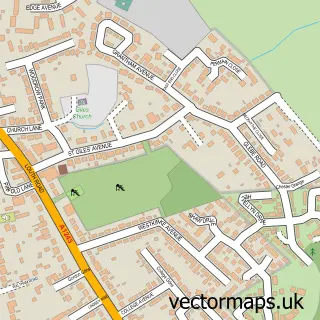
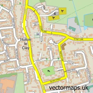
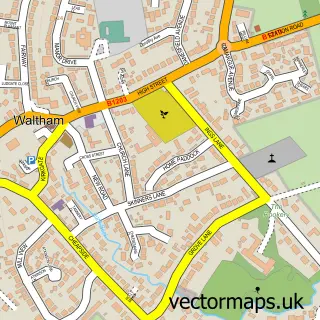
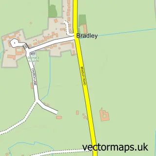
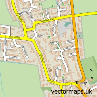
Nearby street map samples around Cleethorpes

More street maps in Lincolnshire
750 metre map area coverage
Boundary, postcode and point of interest information for the 750m x 750m rectangle centred on this sample map.
Boundaries containing map centre
Constituency: Great Grimsby and Cleethorpes Boro Const
District: North East Lincolnshire (B)
Icb: NHS Humber and North Yorkshire ICB
Police Force: humberside
Postcode District: DN35
Postcode Sector: DN35 8
Ward: Croft Baker Ward
Nearby boundaries intersecting sample
Postcode Sector: DN35 0
Ward: Sidney Sussex Ward
Postcode coverage
POI category counts
Beauty Salon: 17
Bar: 12
Restaurant: 12
Flowers And Gifts Shop: 11
Bed And Breakfast: 10
Hair Salon: 10
Pub: 10
Coffee Shop: 9
Real Estate Agent: 9
Tattoo And Piercing: 9
Sample points of interest
- Mulberry Apartments
- Affinity Solutions
- TaxAssist Accountants
- Delivered 4 You
- For Guns' Sake
- R & J Leisure
- The Kingpin Arcade
- St Peter's Cleethorpes
- Alexandra
- Hermes Antiques
- Fairworld
- Hodson Architects
Create a larger editable map of Cleethorpes
This sample shows only a 750 metre area. To create a larger map of Cleethorpes, use our map builder to choose your own coverage area, add titles and download editable SVG, PDF and PNG files.
Create a custom map of Cleethorpes