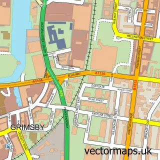
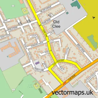
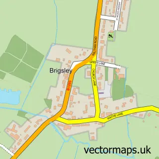
This Scartho street map is a detailed vector street map covering a 750m x 750m area. Select a larger area to create and download your own vector street map of Scartho.
The 750-metre map sample for Scartho covers 604 mapped buildings and approximately 11.2 km of road detail, of which 23 named roads are named. The immediate area includes 1 school, 5 GP surgeries within 2 miles, 3 pubs and 1 MOT station, with 11 within 2 miles. The wider area around Scartho features 2 tourism points of interest and 3 food and drink venues. To create a larger or custom map of Scartho, the map builder lets you define your own coverage area and download editable SVG, PDF and PNG files.
Create a larger editable map of Scartho
Choose any area you need and generate a high-quality vector map instantly. Perfect for print, planning, design, business and personal use.

This Scartho street map in Lincolnshire is available as downloadable SVG, PDF and PNG map files, or as a printed map for planning, business, display, education, local information and design work. You can also create a larger custom map area using the map selector.
What this Scartho map sample shows
Scartho lies within New Waltham Cp parish, part of Humberston And New Waltham ward in the North East Lincolnshire (B) local authority area. The postcode geography for this area includes the DN postcode area, the DN36 postcode district and the DN36 4 postcode sector. Residents fall under the Nhs Humber And North Yorkshire Integrated Care Board for NHS services.
Local features near Scartho
Within 2 milesAmenities and services in and around Scartho.
Administrative and postcode information for Scartho
The local authority covering Scartho is North East Lincolnshire (B), within the county of Lincolnshire. The settlement lies within Humberston And New Waltham ward and New Waltham Cp civil parish. The DN36 postcode district and DN36 4 postcode sector serve the immediate area. NHS provision in the area is delivered through Northern Lincolnshire And Goole Nhs Foundation Trust.
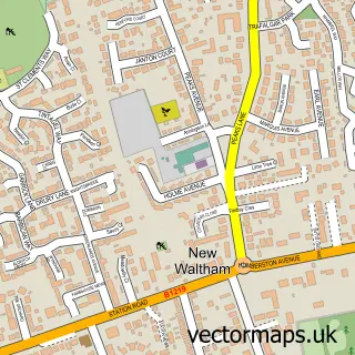
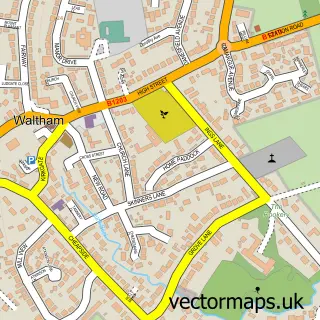
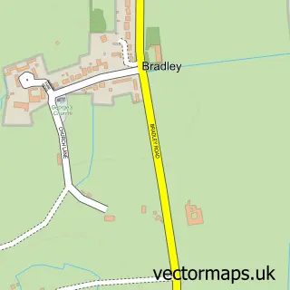
Nearby street map samples around Scartho

More street maps in Lincolnshire
750 metre map area coverage
Boundary, postcode and point of interest information for the 750m x 750m rectangle centred on this sample map.
Boundaries containing map centre
Constituency: Brigg and Immingham Co Const
District: North East Lincolnshire (B)
Icb: NHS Humber and North Yorkshire ICB
Police Force: humberside
Postcode District: DN33
Postcode Sector: DN33 2
Ward: Scartho Ward
Nearby boundaries intersecting sample
Constituency: Great Grimsby and Cleethorpes Boro Const
Parish: New Waltham CP
Postcode District: DN36
Postcode Sector: DN36 4
Ward: Humberston and New Waltham Ward, Park Ward
Postcode coverage
POI category counts
Beauty Salon: 4
Dance School: 3
Flowers And Gifts Shop: 3
Pub: 3
Hair Salon: 2
Medical Spa: 2
Preschool: 2
Professional Services: 2
Veterinarian: 2
Acupuncture: 1
Sample points of interest
- Cinnabar Therapies
- Scartho: St Giles with St Matthew
- CDC Architecture Limited
- John Wilson Motors
- Barclays Bank
- Swagger Scartho
- The Beauty Shop
- Creations Hair Salon
- Honora Beauty Therapy
- New Image Salon
- The Beauty Reef
- Brown's Family Butchers
Create a larger editable map of Scartho
This sample shows only a 750 metre area. To create a larger map of Scartho, use our map builder to choose your own coverage area, add titles and download editable SVG, PDF and PNG files.
Create a custom map of Scartho