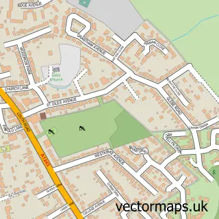
This Humberston street map is a detailed vector street map covering a 750m x 750m area. Select a larger area to create and download your own vector street map of Humberston.
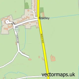
The 750-metre map sample for Humberston covers 885 mapped buildings and approximately 21.4 km of road detail, of which 50 named roads are named. The immediate area includes 2 GP surgeries within 2 miles, 2 pubs and 9 MOT stations within 2 miles. The wider area around Humberston features 1 tourism point of interest, 2 food and drink venues and 1 hotel. To create a larger or custom map of Humberston, the map builder lets you define your own coverage area and download editable SVG, PDF and PNG files.
Create a larger editable map of Humberston
Choose any area you need and generate a high-quality vector map instantly. Perfect for print, planning, design, business and personal use.

This Humberston street map in Lincolnshire is available as downloadable SVG, PDF and PNG map files, or as a printed map for planning, business, display, education, local information and design work. You can also create a larger custom map area using the map selector.
What this Humberston map sample shows
Humberston lies within Humberston Cp parish, part of Humberston And New Waltham ward in the North East Lincolnshire (B) local authority area. The postcode geography for this area includes the DN postcode area, the DN36 postcode district and the DN36 4 postcode sector. Residents fall under the Nhs Humber And North Yorkshire Integrated Care Board for NHS services.
Local features near Humberston
Within 2 milesAmenities and services in and around Humberston.
Administrative and postcode information for Humberston
Humberston lies within Humberston Cp parish, part of Humberston And New Waltham ward in the North East Lincolnshire (B) local authority area. The postcode geography for this area includes the DN postcode area, the DN36 postcode district and the DN36 4 postcode sector. Residents fall under the Nhs Humber And North Yorkshire Integrated Care Board for NHS services.
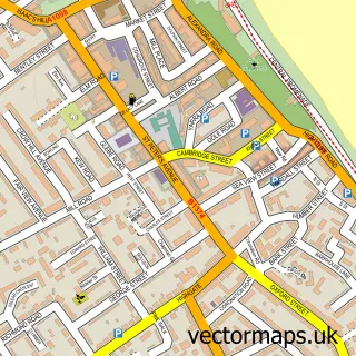
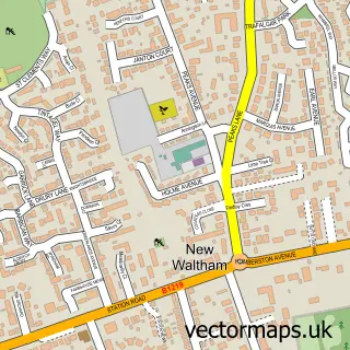
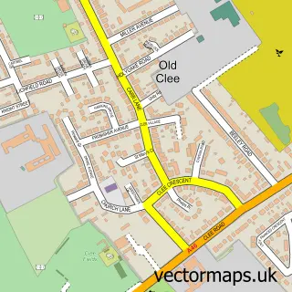
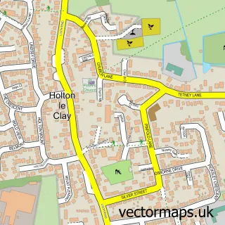
Nearby street map samples around Humberston

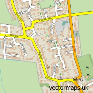
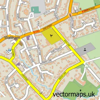
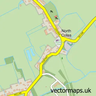
More street maps in Lincolnshire
750 metre map area coverage
Boundary, postcode and point of interest information for the 750m x 750m rectangle centred on this sample map.
Boundaries containing map centre
Constituency: Brigg and Immingham Co Const
District: North East Lincolnshire (B)
Icb: NHS Humber and North Yorkshire ICB
Parish: Humberston CP
Police Force: humberside
Postcode District: DN36
Postcode Sector: DN36 4
Ward: Humberston and New Waltham Ward
Nearby boundaries intersecting sample
Constituency: Great Grimsby and Cleethorpes Boro Const
Postcode District: DN35
Postcode Sector: DN35 0
Ward: Haverstoe Ward
Postcode coverage
POI category counts
Beauty Salon: 5
Beauty And Spa: 3
Convenience Store: 3
Professional Services: 3
Atms: 2
Building Supply Store: 2
Chinese Restaurant: 2
Hair Salon: 2
Holiday Rental Home: 2
Home Cleaning: 2
Sample points of interest
- ID Architecture
- Ashgrove Care Home
- BR Spar Humberston, Humberston
- Morrisons Daily - Humberston Grimsby Road , Humberston
- Fast Aerials
- Big Jax Grillhouse & Sports Bar
- The Coach House
- Sonnies Barber Shop
- GFS Beauty Clinic
- Noir The Nail Bar
- Sara at 47
- Beauty By Beck
Create a larger editable map of Humberston
This sample shows only a 750 metre area. To create a larger map of Humberston, use our map builder to choose your own coverage area, add titles and download editable SVG, PDF and PNG files.
Create a custom map of Humberston