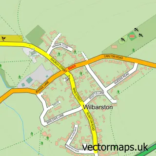
This Ashley street map is a detailed vector street map covering a 750m x 750m area. Select a larger area to create and download your own vector street map of Ashley.
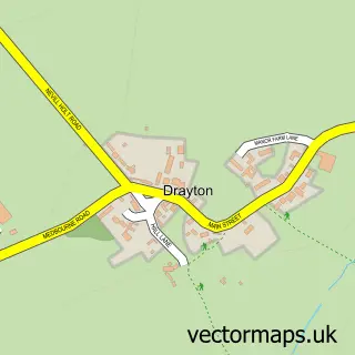
The 750-metre map sample for Ashley covers 149 mapped buildings and approximately 12.4 km of road detail, of which 8 named roads are named. The immediate area includes 1 pub. The wider area around Ashley features 1 tourism point of interest, 1 food and drink venue and 1 campsite within 2 miles. To create a larger or custom map of Ashley, the map builder lets you define your own coverage area and download editable SVG, PDF and PNG files.
Create a larger editable map of Ashley
Choose any area you need and generate a high-quality vector map instantly. Perfect for print, planning, design, business and personal use.

This Ashley street map in Northamptonshire is available as downloadable SVG, PDF and PNG map files, or as a printed map for planning, business, display, education, local information and design work. You can also create a larger custom map area using the map selector.
What this Ashley map sample shows
Ashley lies within Ashley Cp parish, part of Welland ward in the North Northamptonshire local authority area. The postcode geography for this area includes the LE postcode area, the LE16 postcode district and the LE16 8 postcode sector. Residents fall under the Nhs Northamptonshire Integrated Care Board for NHS services.
Local features near Ashley
Within 2 milesAmenities and services in and around Ashley.
Administrative and postcode information for Ashley
Ashley lies within Ashley Cp parish, part of Welland ward in the North Northamptonshire local authority area. The postcode geography for this area includes the LE postcode area, the LE16 postcode district and the LE16 8 postcode sector. Residents fall under the Nhs Northamptonshire Integrated Care Board for NHS services.
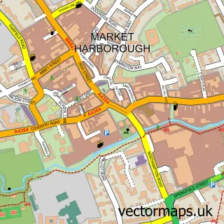
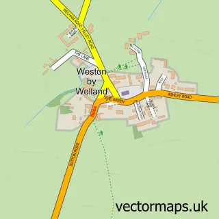
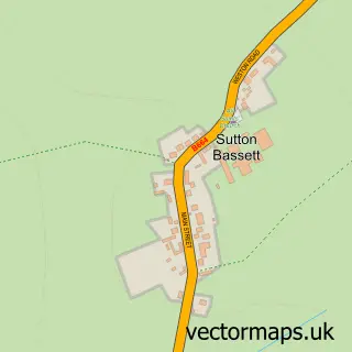
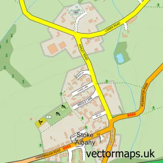
Nearby street map samples around Ashley

More street maps in Northamptonshire
750 metre map area coverage
Boundary, postcode and point of interest information for the 750m x 750m rectangle centred on this sample map.
Boundaries containing map centre
Constituency: Kettering Co Const
District: North Northamptonshire
Icb: NHS Northamptonshire ICB
Parish: Ashley CP
Police Force: northamptonshire
Postcode District: LE16
Postcode Sector: LE16 8
Ward: Desborough Ward
Nearby boundaries intersecting sample
No additional intersecting boundaries found.
Postcode coverage
POI category counts
Insurance Agency: 4
Accountant: 1
Anglican Church: 1
Beer Garden: 1
Business Consulting: 1
Church Cathedral: 1
Farm: 1
Furniture Store: 1
Home Inspector: 1
Landmark And Historical Building: 1
Sample points of interest
- Master Accounting
- St Mary the Virgin
- The George
- Claire Bowles Pr
- St Mary's Church
- Ashley Farm Shop
- Indesit Washing Machine Insurance
- Raising The Standards
- Beko Washing Machine Common Faults
- Games Console Insurance Cover
- Insurance for Kitchen Appliances
- TV Insurance
Create a larger editable map of Ashley
This sample shows only a 750 metre area. To create a larger map of Ashley, use our map builder to choose your own coverage area, add titles and download editable SVG, PDF and PNG files.
Create a custom map of Ashley