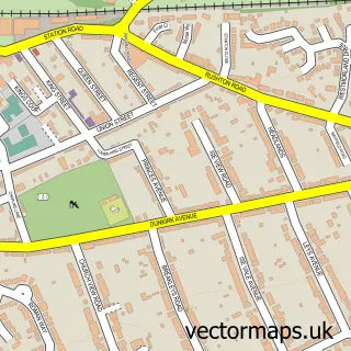
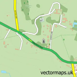
This Wilbarston street map is a detailed vector street map covering a 750m x 750m area. Select a larger area to create and download your own vector street map of Wilbarston.
The 750-metre map sample for Wilbarston covers 252 mapped buildings and approximately 22.1 km of road detail, of which 16 named roads are named. The immediate area includes 1 school and 1 pub. The wider area around Wilbarston features 1 tourism point of interest and 1 food and drink venue. To create a larger or custom map of Wilbarston, the map builder lets you define your own coverage area and download editable SVG, PDF and PNG files.
Create a larger editable map of Wilbarston
Choose any area you need and generate a high-quality vector map instantly. Perfect for print, planning, design, business and personal use.

This Wilbarston street map in Northamptonshire is available as downloadable SVG, PDF and PNG map files, or as a printed map for planning, business, display, education, local information and design work. You can also create a larger custom map area using the map selector.
What this Wilbarston map sample shows
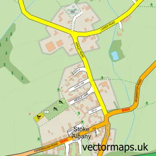
Wilbarston lies within Wilbarston Cp parish, part of Welland ward in the North Northamptonshire local authority area. The postcode geography for this area includes the LE postcode area, the LE16 postcode district and the LE16 8 postcode sector. Residents fall under the Nhs Northamptonshire Integrated Care Board for NHS services.
Local features near Wilbarston
Within 2 milesAmenities and services in and around Wilbarston.
Administrative and postcode information for Wilbarston
Wilbarston lies within Wilbarston Cp parish, part of Welland ward in the North Northamptonshire local authority area. The postcode geography for this area includes the LE postcode area, the LE16 postcode district and the LE16 8 postcode sector. Residents fall under the Nhs Northamptonshire Integrated Care Board for NHS services.
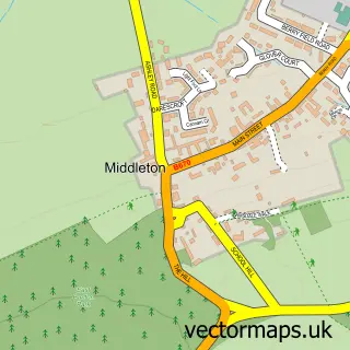
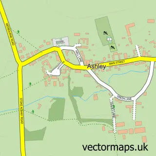
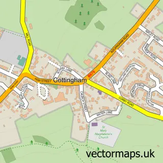
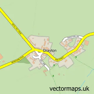
Nearby street map samples around Wilbarston

More street maps in Northamptonshire
750 metre map area coverage
Boundary, postcode and point of interest information for the 750m x 750m rectangle centred on this sample map.
Boundaries containing map centre
Constituency: Kettering Co Const
District: North Northamptonshire
Icb: NHS Northamptonshire ICB
Parish: Wilbarston CP
Police Force: northamptonshire
Postcode District: LE16
Postcode Sector: LE16 8
Ward: Desborough Ward
Nearby boundaries intersecting sample
Parish: Stoke Albany CP
Postcode coverage
POI category counts
Professional Services: 3
Tree Services: 3
Bakery: 2
Post Office: 2
Accommodation: 1
Anglican Church: 1
Bar: 1
Beauty Product Supplier: 1
Building Supply Store: 1
Carpenter: 1
Sample points of interest
- Wilbarston Village
- All Saints
- Bakes and Brownies By Hand
- Bumble Cottage Cakes
- The Big Fizz
- Beauty Naturals
- Matthew Castle Woodworking
- Richard Arnold
- Wilbarston All Saints Church
- David Walker Commercial
- Wilbarston Village Hall
- Rebecca Barnes Harpist
Create a larger editable map of Wilbarston
This sample shows only a 750 metre area. To create a larger map of Wilbarston, use our map builder to choose your own coverage area, add titles and download editable SVG, PDF and PNG files.
Create a custom map of Wilbarston