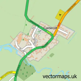
This Cottingham street map is a detailed vector street map covering a 750m x 750m area. Select a larger area to create and download your own vector street map of Cottingham.
The 750-metre map sample for Cottingham covers 282 mapped buildings and approximately 24.1 km of road detail, of which 21 named roads are named. The immediate area includes 1 school and 1 pub. The wider area around Cottingham features 1 tourism point of interest and 1 food and drink venue. To create a larger or custom map of Cottingham, the map builder lets you define your own coverage area and download editable SVG, PDF and PNG files.
Create a larger editable map of Cottingham
Choose any area you need and generate a high-quality vector map instantly. Perfect for print, planning, design, business and personal use.

This Cottingham street map in Northamptonshire is available as downloadable SVG, PDF and PNG map files, or as a printed map for planning, business, display, education, local information and design work. You can also create a larger custom map area using the map selector.
What this Cottingham map sample shows
Cottingham lies within Cottingham Cp parish, part of Rural West ward in the North Northamptonshire local authority area. The postcode geography for this area includes the LE postcode area, the LE16 postcode district and the LE16 8 postcode sector. Residents fall under the Nhs Northamptonshire Integrated Care Board for NHS services.
Local features near Cottingham
Within 2 milesAmenities and services in and around Cottingham.
Administrative and postcode information for Cottingham
Cottingham lies within Cottingham Cp parish, part of Rural West ward in the North Northamptonshire local authority area. The postcode geography for this area includes the LE postcode area, the LE16 postcode district and the LE16 8 postcode sector. Residents fall under the Nhs Northamptonshire Integrated Care Board for NHS services.
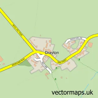
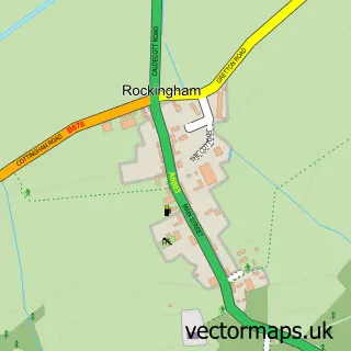
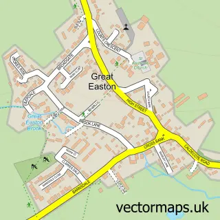
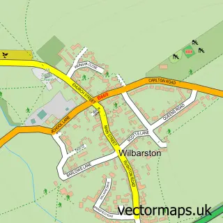
Nearby street map samples around Cottingham

More street maps in Northamptonshire
750 metre map area coverage
Boundary, postcode and point of interest information for the 750m x 750m rectangle centred on this sample map.
Boundaries containing map centre
Constituency: Kettering Co Const
District: North Northamptonshire
Icb: NHS Northamptonshire ICB
Parish: Cottingham CP
Police Force: northamptonshire
Postcode District: LE16
Postcode Sector: LE16 8
Ward: Desborough Ward
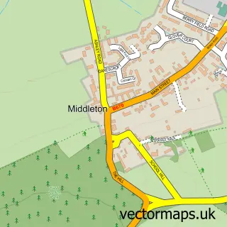
Nearby boundaries intersecting sample
Parish: Middleton CP
Postcode coverage
POI category counts
Elementary School: 3
Topic Concert Venue: 2
Arts And Entertainment: 1
Automotive Repair: 1
Bakery: 1
Builders: 1
Building Supply Store: 1
Church Cathedral: 1
Disability Services And Support Organization: 1
Engineering Services: 1
Sample points of interest
- Cottingham
- Rapid Windscreens
- Boden Bakes
- NK Lofts
- Oasis Bars
- St Mary Magdalene Church
- Stairlifts Reviews - UK
- Cottingham C of E Primary School
- HMC
- Valley Voice, Cottingham, Middleton and Welland Valley Community Choir
- Proton Engineering Services
- J J G Landscape Services
Create a larger editable map of Cottingham
This sample shows only a 750 metre area. To create a larger map of Cottingham, use our map builder to choose your own coverage area, add titles and download editable SVG, PDF and PNG files.
Create a custom map of Cottingham