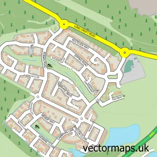
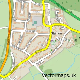
This Corby street map is a detailed vector street map covering a 750m x 750m area. Select a larger area to create and download your own vector street map of Corby.
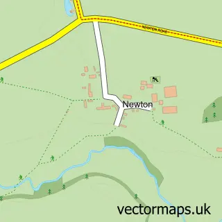
The 750-metre map sample for Corby covers 182 mapped buildings and approximately 40.2 km of road detail, of which 38 named roads are named. The immediate area includes 4 GP surgeries within 2 miles, 4 pubs and 22 MOT stations within 2 miles. The wider area around Corby features 1 tourism point of interest and 16 food and drink venues. To create a larger or custom map of Corby, the map builder lets you define your own coverage area and download editable SVG, PDF and PNG files.
Create a larger editable map of Corby
Choose any area you need and generate a high-quality vector map instantly. Perfect for print, planning, design, business and personal use.

This Corby street map in Northamptonshire is available as downloadable SVG, PDF and PNG map files, or as a printed map for planning, business, display, education, local information and design work. You can also create a larger custom map area using the map selector.
What this Corby map sample shows
Corby lies within Corby Cp parish, part of Kingswood & Hazel Leys ward in the North Northamptonshire local authority area. The postcode geography for this area includes the NN postcode area, the NN18 postcode district and the NN18 0 postcode sector. Residents fall under the Nhs Northamptonshire Integrated Care Board for NHS services.
Local features near Corby
Within 2 milesAmenities and services in and around Corby.
Administrative and postcode information for Corby
The local authority covering Corby is North Northamptonshire, within the county of Northamptonshire. The settlement lies within Kingswood & Hazel Leys ward and Corby Cp civil parish. The NN18 postcode district and NN18 0 postcode sector serve the immediate area. NHS provision in the area is delivered through Kettering General Hospital Nhs Foundation Trust.
Nearby street map samples around Corby

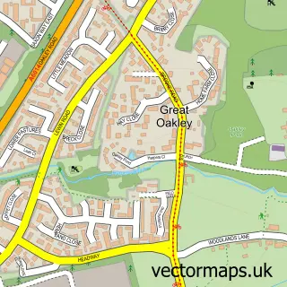
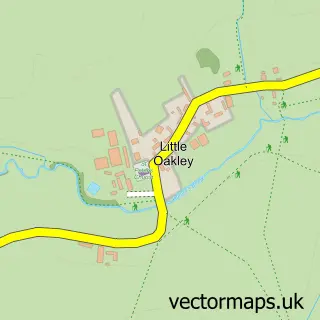
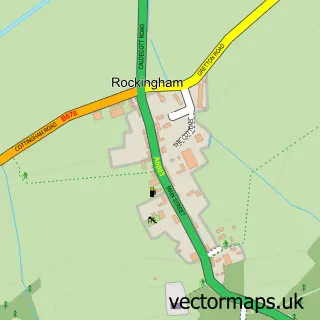
More street maps in Northamptonshire
750 metre map area coverage
Boundary, postcode and point of interest information for the 750m x 750m rectangle centred on this sample map.
Boundaries containing map centre
Constituency: Corby and East Northamptonshire Co Const
District: North Northamptonshire
Icb: NHS Northamptonshire ICB
Parish: Corby CP
Police Force: northamptonshire
Postcode District: NN17
Postcode Sector: NN17 1
Ward: Corby West Ward
Nearby boundaries intersecting sample
Postcode District: NN18
Postcode Sector: NN18 0, NN18 8, NN18 9
Ward: Kingswood Ward, Lloyds & Corby Village Ward
Postcode coverage
POI category counts
Beauty Salon: 13
Clothing Store: 10
Bank Credit Union: 9
Cafe: 7
Employment Agencies: 7
Fast Food Restaurant: 7
Jewelry Store: 7
Mobile Phone Store: 7
Professional Services: 7
Real Estate Agent: 7
Sample points of interest
- The Compound
- Future Creation Associates Ltd.
- Odyssey VR
- Rooftop Arts Centre
- Bella Knit
- Lionheart Embroidery
- Cash machine 55-57 Corporation Street
- Cashpoint® 26 New Post Office Square
- Castle Bingo, Corby1 (SWAP)
- Gaz Coilovers at Track Dynamics
- Central Autopoint
- D&A Moto
Create a larger editable map of Corby
This sample shows only a 750 metre area. To create a larger map of Corby, use our map builder to choose your own coverage area, add titles and download editable SVG, PDF and PNG files.
Create a custom map of Corby