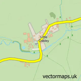
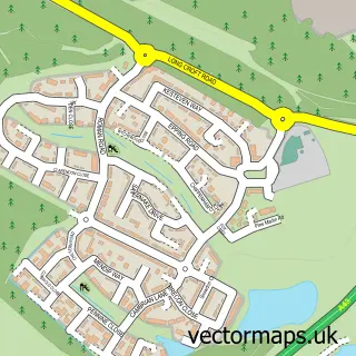
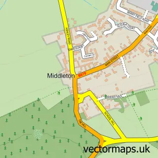
This Great Oakley street map is a detailed vector street map covering a 750m x 750m area. Select a larger area to create and download your own vector street map of Great Oakley.
The 750-metre map sample for Great Oakley covers 363 mapped buildings and approximately 30.8 km of road detail, of which 27 named roads are named. The immediate area includes 2 GP surgeries within 2 miles, 1 pub and 2 MOT stations within 2 miles. The wider area around Great Oakley features 1 tourism point of interest and 2 food and drink venues. To create a larger or custom map of Great Oakley, the map builder lets you define your own coverage area and download editable SVG, PDF and PNG files.
Create a larger editable map of Great Oakley
Choose any area you need and generate a high-quality vector map instantly. Perfect for print, planning, design, business and personal use.

This Great Oakley street map in Northamptonshire is available as downloadable SVG, PDF and PNG map files, or as a printed map for planning, business, display, education, local information and design work. You can also create a larger custom map area using the map selector.
What this Great Oakley map sample shows
Great Oakley lies within Corby Cp parish, part of Oakley South ward in the North Northamptonshire local authority area. The postcode geography for this area includes the NN postcode area, the NN18 postcode district and the NN18 8 postcode sector. Residents fall under the Nhs Northamptonshire Integrated Care Board for NHS services.
Local features near Great Oakley
Within 2 milesAmenities and services in and around Great Oakley.
Administrative and postcode information for Great Oakley
Great Oakley lies within Corby Cp parish, part of Oakley South ward in the North Northamptonshire local authority area. The postcode geography for this area includes the NN postcode area, the NN18 postcode district and the NN18 8 postcode sector. Residents fall under the Nhs Northamptonshire Integrated Care Board for NHS services.
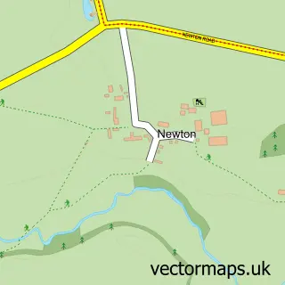
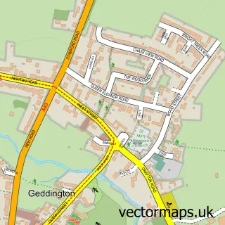
Nearby street map samples around Great Oakley

More street maps in Northamptonshire
750 metre map area coverage
Boundary, postcode and point of interest information for the 750m x 750m rectangle centred on this sample map.
Boundaries containing map centre
Constituency: Corby and East Northamptonshire Co Const
District: North Northamptonshire
Icb: NHS Northamptonshire ICB
Parish: Corby CP
Police Force: northamptonshire
Postcode District: NN18
Postcode Sector: NN18 8
Ward: Oakley Ward
Nearby boundaries intersecting sample
Postcode Sector: NN18 9
Postcode coverage
POI category counts
Contractor: 2
Home Cleaning: 2
Professional Services: 2
Anglican Church: 1
Aquatic Pet Store: 1
B2b Apparel: 1
Beauty And Spa: 1
Beauty Salon: 1
Brewery: 1
Bridal Shop: 1
Sample points of interest
- St Michael & All Angels
- www.newaquatonic.com
- Merch1st
- Caciskincare.com
- Caci Skincare Nonsurgical Face & Body Treatment
- Great Oakley Brewery
- Village Bridal Boutique
- A F Dickson
- Best Consult Us
- Family Threads
- AD Plastering
- D J Plastering
Create a larger editable map of Great Oakley
This sample shows only a 750 metre area. To create a larger map of Great Oakley, use our map builder to choose your own coverage area, add titles and download editable SVG, PDF and PNG files.
Create a custom map of Great Oakley