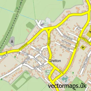
This Weldon street map is a detailed vector street map covering a 750m x 750m area. Select a larger area to create and download your own vector street map of Weldon.
The 750-metre map sample for Weldon covers 399 mapped buildings and approximately 28.0 km of road detail, of which 27 named roads are named. The immediate area includes 1 school, 1 pub and 14 MOT stations within 2 miles. The wider area around Weldon features 1 food and drink venue and 2 hotels. To create a larger or custom map of Weldon, the map builder lets you define your own coverage area and download editable SVG, PDF and PNG files.
Create a larger editable map of Weldon
Choose any area you need and generate a high-quality vector map instantly. Perfect for print, planning, design, business and personal use.

This Weldon street map in Northamptonshire is available as downloadable SVG, PDF and PNG map files, or as a printed map for planning, business, display, education, local information and design work. You can also create a larger custom map area using the map selector.
What this Weldon map sample shows
Weldon lies within Weldon Cp parish, part of Weldon & Gretton ward in the North Northamptonshire local authority area. The postcode geography for this area includes the NN postcode area, the NN17 postcode district and the NN17 3 postcode sector. Residents fall under the Nhs Northamptonshire Integrated Care Board for NHS services.
Local features near Weldon
Within 2 milesAmenities and services in and around Weldon.
Administrative and postcode information for Weldon
Weldon lies within Weldon Cp parish, part of Weldon & Gretton ward in the North Northamptonshire local authority area. The postcode geography for this area includes the NN postcode area, the NN17 postcode district and the NN17 3 postcode sector. Residents fall under the Nhs Northamptonshire Integrated Care Board for NHS services.
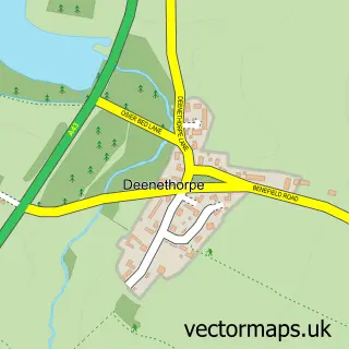
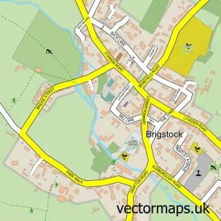
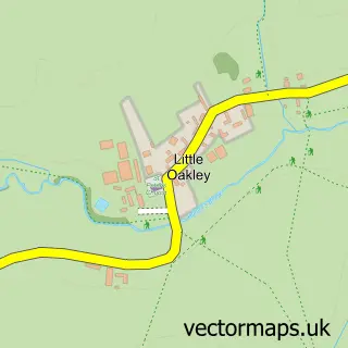
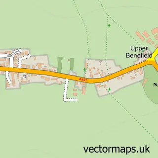
Nearby street map samples around Weldon
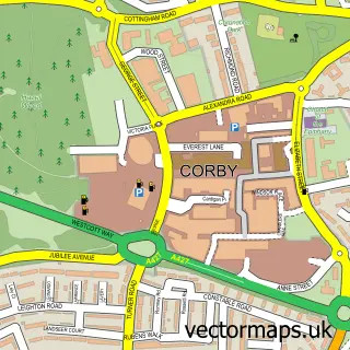

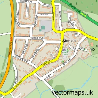
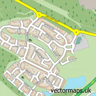
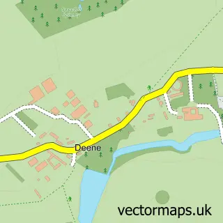
More street maps in Northamptonshire
750 metre map area coverage
Boundary, postcode and point of interest information for the 750m x 750m rectangle centred on this sample map.
Boundaries containing map centre
Constituency: Corby and East Northamptonshire Co Const
District: North Northamptonshire
Icb: NHS Northamptonshire ICB
Parish: Weldon CP
Police Force: northamptonshire
Postcode District: NN17
Postcode Sector: NN17 3
Ward: Gretton & Weldon Ward
Nearby boundaries intersecting sample
Parish: Corby CP
Postcode Sector: NN17 5
Ward: Lloyds & Corby Village Ward
Postcode coverage
POI category counts
Beauty Salon: 3
Church Cathedral: 3
Convenience Store: 3
Shipping Center: 3
Bar: 2
Brake Service And Repair: 2
Contractor: 2
Hotel: 2
It Service And Computer Repair: 2
Assisted Living Facility: 1
Sample points of interest
- Priory Manor Field
- M & Z Motors
- Shoulder of Mutton
- The Blue Grotto, Malta
- Nails By Becca
- 5th Avenue Weldon
- Hair by Jacqui
- Tara Beauty Therapy
- Sail In Turkey
- Close Motor Company
- Corby Mitsubushi
- JD's Breakfast House
Create a larger editable map of Weldon
This sample shows only a 750 metre area. To create a larger map of Weldon, use our map builder to choose your own coverage area, add titles and download editable SVG, PDF and PNG files.
Create a custom map of Weldon