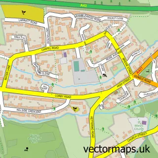
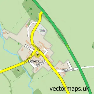
This Brigstock street map is a detailed vector street map covering a 750m x 750m area. Select a larger area to create and download your own vector street map of Brigstock.
The 750-metre map sample for Brigstock covers 324 mapped buildings and approximately 26.8 km of road detail, of which 24 named roads are named. The immediate area includes 1 school and 4 pubs. The wider area around Brigstock features 5 food and drink venues. To create a larger or custom map of Brigstock, the map builder lets you define your own coverage area and download editable SVG, PDF and PNG files.
Create a larger editable map of Brigstock
Choose any area you need and generate a high-quality vector map instantly. Perfect for print, planning, design, business and personal use.

This Brigstock street map in Northamptonshire is available as downloadable SVG, PDF and PNG map files, or as a printed map for planning, business, display, education, local information and design work. You can also create a larger custom map area using the map selector.
What this Brigstock map sample shows
Brigstock lies within Brigstock Cp parish, part of Lyveden ward in the North Northamptonshire local authority area. The postcode geography for this area includes the NN postcode area, the NN14 postcode district and the NN14 3 postcode sector. Residents fall under the Nhs Northamptonshire Integrated Care Board for NHS services.
Local features near Brigstock
Within 2 milesAmenities and services in and around Brigstock.
Administrative and postcode information for Brigstock
The local authority covering Brigstock is North Northamptonshire, within the county of Northamptonshire. The settlement lies within Lyveden ward and Brigstock Cp civil parish. The NN14 postcode district and NN14 3 postcode sector serve the immediate area. NHS provision in the area is delivered through Kettering General Hospital Nhs Foundation Trust.
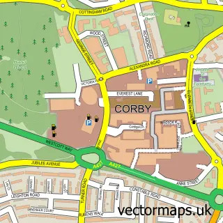
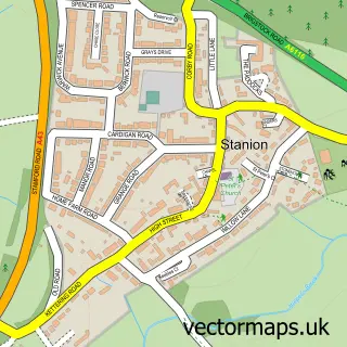
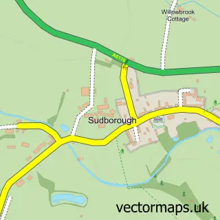
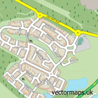
Nearby street map samples around Brigstock

More street maps in Northamptonshire
750 metre map area coverage
Boundary, postcode and point of interest information for the 750m x 750m rectangle centred on this sample map.
Boundaries containing map centre
Constituency: Corby and East Northamptonshire Co Const
District: North Northamptonshire
Icb: NHS Northamptonshire ICB
Parish: Brigstock CP
Police Force: northamptonshire
Postcode District: NN14
Postcode Sector: NN14 3
Ward: Thrapston Ward
Nearby boundaries intersecting sample
No additional intersecting boundaries found.
Postcode coverage
POI category counts
Pub: 4
Active Life: 2
Beauty Salon: 2
Grocery Store: 2
Post Office: 2
Professional Services: 2
Anglican Church: 1
Atms: 1
Barber: 1
Bed And Breakfast: 1
Sample points of interest
- Brigstock Cricket Club
- The Alpaca Experience
- St Andrew Brigstock
- Central England Co-Op - Brigstock, Brigstock
- Shear-Locks Combs Barber
- Hannah's Hair and Beauty Salon
- New Waves
- The Swallows Rest B&B
- Chefsworld Ltd.
- Brigstock Newsagent
- Brigstock Sawmill
- Bake and Brew
Create a larger editable map of Brigstock
This sample shows only a 750 metre area. To create a larger map of Brigstock, use our map builder to choose your own coverage area, add titles and download editable SVG, PDF and PNG files.
Create a custom map of Brigstock