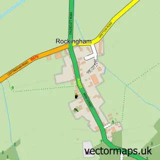
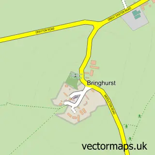
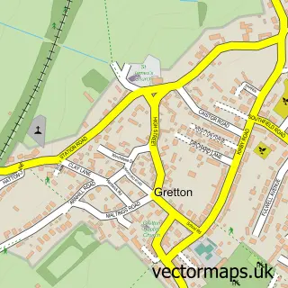
This Caldecott street map is a detailed vector street map covering a 750m x 750m area. Select a larger area to create and download your own vector street map of Caldecott.
The 750-metre map sample for Caldecott covers 121 mapped buildings and approximately 21.6 km of road detail, of which 9 named roads are named. The immediate area includes 1 pub and 1 MOT station within 2 miles. The wider area around Caldecott features 3 tourism points of interest and 1 food and drink venue. To create a larger or custom map of Caldecott, the map builder lets you define your own coverage area and download editable SVG, PDF and PNG files.
Create a larger editable map of Caldecott
Choose any area you need and generate a high-quality vector map instantly. Perfect for print, planning, design, business and personal use.

This Caldecott street map in Rutland is available as downloadable SVG, PDF and PNG map files, or as a printed map for planning, business, display, education, local information and design work. You can also create a larger custom map area using the map selector.
What this Caldecott map sample shows
Caldecott lies within Caldecott Cp parish, part of Lyddington ward in the Rutland local authority area. The postcode geography for this area includes the LE postcode area, the LE16 postcode district and the LE16 8 postcode sector. Residents fall under the Nhs Leicester, Leicestershire And Rutland Integrated Care Board for NHS services.
Local features near Caldecott
Within 2 milesAmenities and services in and around Caldecott.
Administrative and postcode information for Caldecott
Caldecott lies within Caldecott Cp parish, part of Lyddington ward in the Rutland local authority area. The postcode geography for this area includes the LE postcode area, the LE16 postcode district and the LE16 8 postcode sector. Residents fall under the Nhs Leicester, Leicestershire And Rutland Integrated Care Board for NHS services.
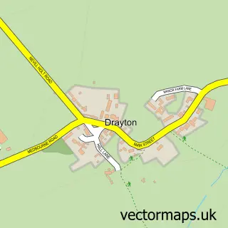
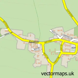
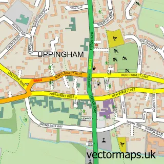
Nearby street map samples around Caldecott

More street maps in Rutland
750 metre map area coverage
Boundary, postcode and point of interest information for the 750m x 750m rectangle centred on this sample map.
Boundaries containing map centre
Constituency: Rutland and Stamford Co Const
District: Rutland
Icb: NHS Leicester Leicestershire and Rutland ICB
Parish: Caldecott CP
Police Force: leicestershire
Postcode District: LE16
Postcode Sector: LE16 8
Ward: Lyddington Ward
Nearby boundaries intersecting sample
County: Leicestershire County
District: Harborough District
Parish: Great Easton CP
Ward: Nevill Ward
Postcode coverage
POI category counts
Landmark And Historical Building: 2
Anglican Church: 1
Automotive Services And Repair: 1
Bed And Breakfast: 1
Campground: 1
Carpenter: 1
Hot Tubs And Pools: 1
Nursery And Gardening: 1
Party And Event Planning: 1
Pub: 1
Sample points of interest
- Caldecott: St John the Evangelist
- Lamby Automotive
- The Old Plough
- Rutland Gateway campsite
- The Traditional Carpentry Company
- Royal Hot Tubs
- A6003 road
- Caldecott Village, Rutland
- Plants at Caldecott
- Artistic Balloon Creations
- The Plough Inn
Create a larger editable map of Caldecott
This sample shows only a 750 metre area. To create a larger map of Caldecott, use our map builder to choose your own coverage area, add titles and download editable SVG, PDF and PNG files.
Create a custom map of Caldecott