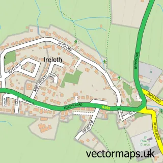
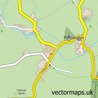
This Askam-in-Furness street map is a detailed vector street map covering a 750m x 750m area. Select a larger area to create and download your own vector street map of Askam-in-Furness.
The 750-metre map sample for Askam-in-Furness covers 356 mapped buildings and approximately 14.6 km of road detail, of which 34 named roads are named. The immediate area includes 1 railway station, 2 pubs and 1 MOT station within 2 miles. The wider area around Askam-in-Furness features 3 food and drink venues. To create a larger or custom map of Askam-in-Furness, the map builder lets you define your own coverage area and download editable SVG, PDF and PNG files.
Create a larger editable map of Askam-in-Furness
Choose any area you need and generate a high-quality vector map instantly. Perfect for print, planning, design, business and personal use.

This Askam-in-Furness street map in Cumbria is available as downloadable SVG, PDF and PNG map files, or as a printed map for planning, business, display, education, local information and design work. You can also create a larger custom map area using the map selector.
What this Askam-in-Furness map sample shows
Askam-in-Furness lies within Askam And Ireleth Cp parish, part of Dalton North ward in the Westmorland And Furness local authority area. The postcode geography for this area includes the LA postcode area, the LA16 postcode district and the LA16 7 postcode sector. Residents fall under the Nhs Lancashire And South Cumbria Integrated Care Board for NHS services.
Local features near Askam-in-Furness
Within 2 milesAmenities and services in and around Askam-in-Furness.
Administrative and postcode information for Askam-in-Furness
Askam-in-Furness lies within Askam And Ireleth Cp parish, part of Dalton North ward in the Westmorland And Furness local authority area. The postcode geography for this area includes the LA postcode area, the LA16 postcode district and the LA16 7 postcode sector. Residents fall under the Nhs Lancashire And South Cumbria Integrated Care Board for NHS services.
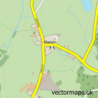
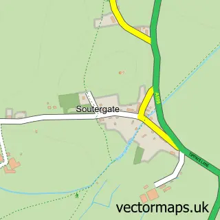
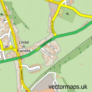
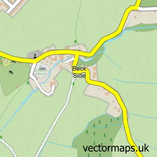
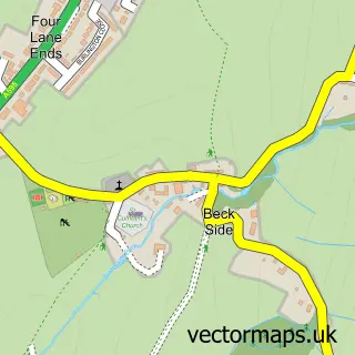
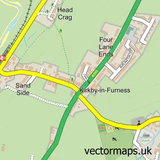
Nearby street map samples around Askam-in-Furness

More street maps in Cumbria
750 metre map area coverage
Boundary, postcode and point of interest information for the 750m x 750m rectangle centred on this sample map.
Boundaries containing map centre
Constituency: Barrow and Furness Co Const
District: Westmorland and Furness
Icb: NHS Lancashire and South Cumbria ICB
Parish: Askam and Ireleth CP
Police Force: cumbria
Postcode District: LA16
Postcode Sector: LA16 7
Ward: Dalton North Ward
Nearby boundaries intersecting sample
No additional intersecting boundaries found.
Postcode coverage
POI category counts
Car Dealer: 2
Church Cathedral: 2
Driving School: 2
Indian Restaurant: 2
Korean Grocery Store: 2
Post Office: 2
Pub: 2
Sports Club And League: 2
Train Station: 2
Advertising Agency: 1
Sample points of interest
- Stressball City
- Askam Rugby League Club
- Staffordshire Bull Terrior Rescue
- Urofoam
- The Cooperative Food (BF) Askam (ERF)
- Bake n Bun
- Salon 44
- Tamar Guntrip Beauty Specialist
- Platform one
- C J S Car Sales Ltd
- Porsche Dealer
- Happy Garden
Create a larger editable map of Askam-in-Furness
This sample shows only a 750 metre area. To create a larger map of Askam-in-Furness, use our map builder to choose your own coverage area, add titles and download editable SVG, PDF and PNG files.
Create a custom map of Askam-in-Furness