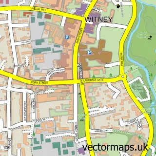
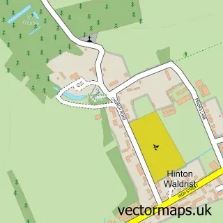
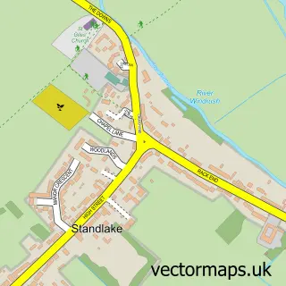
This Aston street map is a detailed vector street map covering a 750m x 750m area. Select a larger area to create and download your own vector street map of Aston.
The 750-metre map sample for Aston covers 333 mapped buildings and approximately 19.7 km of road detail, of which 24 named roads are named. The immediate area includes 1 school, 1 GP surgery within 2 miles and 1 pub. The wider area around Aston features 1 food and drink venue. To create a larger or custom map of Aston, the map builder lets you define your own coverage area and download editable SVG, PDF and PNG files.
Create a larger editable map of Aston
Choose any area you need and generate a high-quality vector map instantly. Perfect for print, planning, design, business and personal use.

This Aston street map in Oxfordshire is available as downloadable SVG, PDF and PNG map files, or as a printed map for planning, business, display, education, local information and design work. You can also create a larger custom map area using the map selector.
What this Aston map sample shows
Aston lies within Aston, Cote, Shifford And Chimney Cp parish, part of Standlake, Aston And Stanton Harcourt ward in the West Oxfordshire District local authority area. The postcode geography for this area includes the OX postcode area, the OX18 postcode district and the OX18 2 postcode sector. Residents fall under the Nhs Buckinghamshire, Oxfordshire And Berkshire West Integrated Care Board for NHS services.
Local features near Aston
Within 2 milesAmenities and services in and around Aston.
Administrative and postcode information for Aston
Aston lies within Aston, Cote, Shifford And Chimney Cp parish, part of Standlake, Aston And Stanton Harcourt ward in the West Oxfordshire District local authority area. The postcode geography for this area includes the OX postcode area, the OX18 postcode district and the OX18 2 postcode sector. Residents fall under the Nhs Buckinghamshire, Oxfordshire And Berkshire West Integrated Care Board for NHS services.
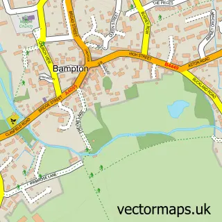
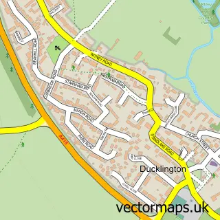
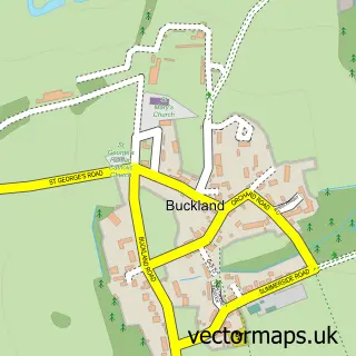
Nearby street map samples around Aston

More street maps in Oxfordshire
750 metre map area coverage
Boundary, postcode and point of interest information for the 750m x 750m rectangle centred on this sample map.
Boundaries containing map centre
Constituency: Witney Co Const
County: Oxfordshire County
District: West Oxfordshire District
Icb: NHS Thames Valley ICB
Parish: Aston, Cote, Shifford and Chimney CP
Police Force: thames valley
Postcode District: OX18
Postcode Sector: OX18 2
Ward: Standlake, Aston and Stanton Harcourt Ward
Nearby boundaries intersecting sample
No additional intersecting boundaries found.
Postcode coverage
POI category counts
Accountant: 3
Automotive Repair: 3
Anglican Church: 2
Elementary School: 2
Bed And Breakfast: 1
Building Supply Store: 1
Carpenter: 1
Carpet Store: 1
Contractor: 1
Dentist: 1
Sample points of interest
- F M Consulting Services
- P P Payroll Solutions Ltd.
- Pp Payroll Solutions Ltd.
- Aston: St James
- St James's Church
- Aston Repair Depot
- J H Caswell
- Spires Mobile Tyres
- Manor Farm Barn Bed and Breakfast
- Lawnscience
- Brightleaf Carpentry
- C&G Liquid Screed Ltd
Create a larger editable map of Aston
This sample shows only a 750 metre area. To create a larger map of Aston, use our map builder to choose your own coverage area, add titles and download editable SVG, PDF and PNG files.
Create a custom map of Aston