This Aylsham street map is a detailed vector street map covering a 750m x 750m area. Select a larger area to create and download your own vector street map of Aylsham.
The 750-metre map sample for Aylsham covers 564 mapped buildings and approximately 21.8 km of road detail, of which 46 named roads are named. The immediate area includes 1 school, 1 GP surgery within 2 miles, 4 pubs and 1 MOT station, with 3 within 2 miles. The wider area around Aylsham features 10 food and drink venues and 1 hotel. To create a larger or custom map of Aylsham, the map builder lets you define your own coverage area and download editable SVG, PDF and PNG files.
Create a larger editable map of Aylsham
Choose any area you need and generate a high-quality vector map instantly. Perfect for print, planning, design, business and personal use.

This Aylsham street map in Norfolk is available as downloadable SVG, PDF and PNG map files, or as a printed map for planning, business, display, education, local information and design work. You can also create a larger custom map area using the map selector.
What this Aylsham map sample shows
Aylsham lies within Aylsham Cp parish, part of Aylsham ward in the Broadland District local authority area. The postcode geography for this area includes the NR postcode area, the NR11 postcode district and the NR11 6 postcode sector. Residents fall under the Nhs Norfolk And Waveney Integrated Care Board for NHS services.
Local features near Aylsham
Within 2 milesAmenities and services in and around Aylsham.
Administrative and postcode information for Aylsham
Aylsham lies within Aylsham Cp parish, part of Aylsham ward in the Broadland District local authority area. The postcode geography for this area includes the NR postcode area, the NR11 postcode district and the NR11 6 postcode sector. Residents fall under the Nhs Norfolk And Waveney Integrated Care Board for NHS services.
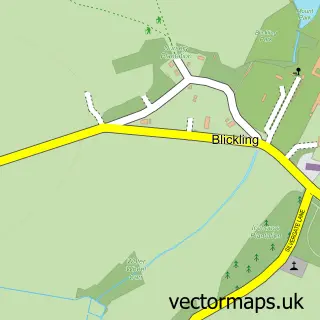
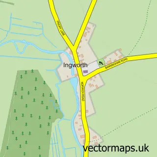
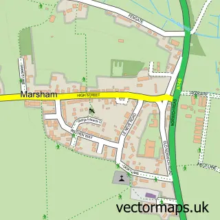
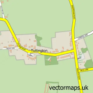
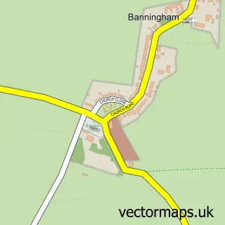
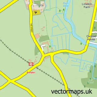
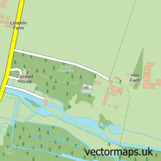
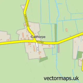
Nearby street map samples around Aylsham

More street maps in Norfolk
750 metre map area coverage
Boundary, postcode and point of interest information for the 750m x 750m rectangle centred on this sample map.
Boundaries containing map centre
Constituency: Broadland and Fakenham Co Const
County: Norfolk County
District: Broadland District
Icb: NHS Norfolk and Waveney ICB
Parish: Aylsham CP
Police Force: norfolk
Postcode District: NR11
Postcode Sector: NR11 6
Ward: Aylsham Ward
Nearby boundaries intersecting sample
No additional intersecting boundaries found.
Postcode coverage
POI category counts
Beauty Salon: 6
Real Estate Agent: 6
Bakery: 5
Cafe: 4
Church Cathedral: 4
Community Services Non Profits: 4
Financial Service: 4
Fish And Chips Restaurant: 4
Flowers And Gifts Shop: 4
Funeral Services And Cemeteries: 4
Sample points of interest
- Lovewell Blake
- Lovewell Blake
- Graphics One
- Oliver Bell Osteopath
- Aylsham Parish Church
- Pearse Lukies Antiques
- Tumbleweed
- Broadland Framers & Gallery
- Crome Gallery and Frame Makers
- Maná Art Gallery
- Artstop Biz
- Aylsham Band
Create a larger editable map of Aylsham
This sample shows only a 750 metre area. To create a larger map of Aylsham, use our map builder to choose your own coverage area, add titles and download editable SVG, PDF and PNG files.
Create a custom map of Aylsham