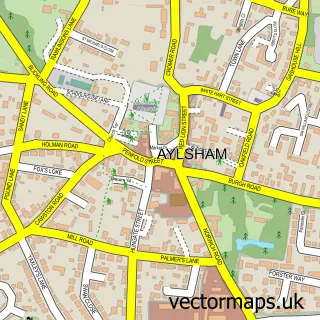
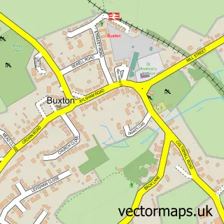
This Marsham street map is a detailed vector street map covering a 750m x 750m area. Select a larger area to create and download your own vector street map of Marsham.
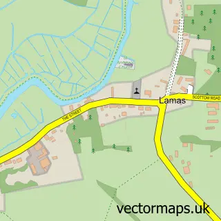
The 750-metre map sample for Marsham covers 192 mapped buildings and approximately 9.9 km of road detail, of which 12 named roads are named. The immediate area includes 1 GP surgery within 2 miles, 1 pub and 2 MOT stations within 2 miles. The wider area around Marsham features 1 food and drink venue and 1 hotel. To create a larger or custom map of Marsham, the map builder lets you define your own coverage area and download editable SVG, PDF and PNG files.
Create a larger editable map of Marsham
Choose any area you need and generate a high-quality vector map instantly. Perfect for print, planning, design, business and personal use.

This Marsham street map in Norfolk is available as downloadable SVG, PDF and PNG map files, or as a printed map for planning, business, display, education, local information and design work. You can also create a larger custom map area using the map selector.
What this Marsham map sample shows
Marsham lies within Marsham Cp parish, part of Aylsham ward in the Broadland District local authority area. The postcode geography for this area includes the NR postcode area, the NR10 postcode district and the NR10 5 postcode sector. Residents fall under the Nhs Norfolk And Waveney Integrated Care Board for NHS services.
Local features near Marsham
Within 2 milesAmenities and services in and around Marsham.
Administrative and postcode information for Marsham
The local authority covering Marsham is Broadland District, within the county of Norfolk. The settlement lies within Aylsham ward and Marsham Cp civil parish. The NR10 postcode district and NR10 5 postcode sector serve the immediate area. NHS provision in the area is delivered through Norfolk And Norwich University Hospitals Nhs Foundation Trust.
Nearby street map samples around Marsham

More street maps in Norfolk
750 metre map area coverage
Boundary, postcode and point of interest information for the 750m x 750m rectangle centred on this sample map.
Boundaries containing map centre
Constituency: Broadland and Fakenham Co Const
County: Norfolk County
District: Broadland District
Icb: NHS Norfolk and Waveney ICB
Parish: Marsham CP
Police Force: norfolk
Postcode District: NR10
Postcode Sector: NR10 5
Ward: Aylsham Ward
Nearby boundaries intersecting sample
Parish: Aylsham CP
Postcode coverage
POI category counts
Carpenter: 3
Home Cleaning: 2
Professional Services: 2
Anglican Church: 1
Arts And Crafts: 1
Automotive Repair: 1
Brewery: 1
Fabric Store: 1
General Dentistry: 1
Gym: 1
Sample points of interest
- Marsham: All Saints
- The Crafty Barn Owl
- P & M Radiators
- Fengate Brewery
- Advanced Joinery
- JNC Carpentry
- S&H Sheds
- Tuliptree Fabrics
- Home Is Where The Heart Is
- Velocity Strength and Fitness
- Barnett's Cleaning Solutions
- East Anglian Construction and Maintenance
Create a larger editable map of Marsham
This sample shows only a 750 metre area. To create a larger map of Marsham, use our map builder to choose your own coverage area, add titles and download editable SVG, PDF and PNG files.
Create a custom map of Marsham