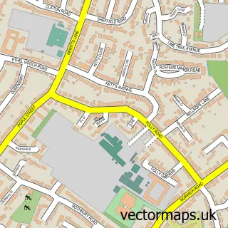
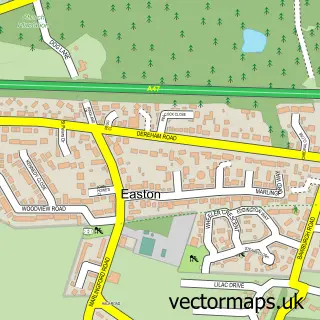
This Barford street map is a detailed vector street map covering a 750m x 750m area. Select a larger area to create and download your own vector street map of Barford.
The 750-metre map sample for Barford covers 227 mapped buildings and approximately 9.5 km of road detail, of which 15 named roads are named. The immediate area includes 1 school and 1 MOT station. The wider area around Barford features 1 tourism point of interest and 1 hotel. To create a larger or custom map of Barford, the map builder lets you define your own coverage area and download editable SVG, PDF and PNG files.
Create a larger editable map of Barford
Choose any area you need and generate a high-quality vector map instantly. Perfect for print, planning, design, business and personal use.

This Barford street map in Norfolk is available as downloadable SVG, PDF and PNG map files, or as a printed map for planning, business, display, education, local information and design work. You can also create a larger custom map area using the map selector.
What this Barford map sample shows
Barford lies within Wramplingham Cp parish, part of Wicklewood ward in the South Norfolk District local authority area. The postcode geography for this area includes the NR postcode area, the NR9 postcode district and the NR9 4 postcode sector. Residents fall under the Nhs Norfolk And Waveney Integrated Care Board for NHS services.
Local features near Barford
Within 2 milesAmenities and services in and around Barford.
Administrative and postcode information for Barford
Barford lies within Wramplingham Cp parish, part of Wicklewood ward in the South Norfolk District local authority area. The postcode geography for this area includes the NR postcode area, the NR9 postcode district and the NR9 4 postcode sector. Residents fall under the Nhs Norfolk And Waveney Integrated Care Board for NHS services.
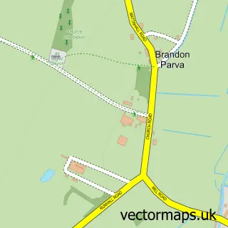
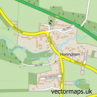
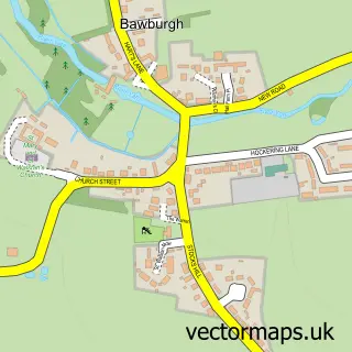
Nearby street map samples around Barford

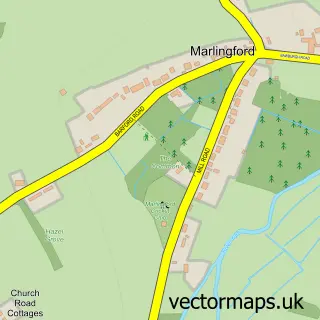
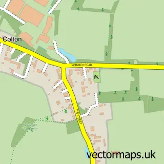

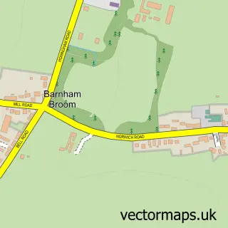
More street maps in Norfolk
750 metre map area coverage
Boundary, postcode and point of interest information for the 750m x 750m rectangle centred on this sample map.
Boundaries containing map centre
Constituency: Mid Norfolk Co Const
County: Norfolk County
District: South Norfolk District
Icb: NHS Norfolk and Waveney ICB
Parish: Barford CP
Police Force: norfolk
Postcode District: NR9
Postcode Sector: NR9 4
Ward: Wicklewood Ward
Nearby boundaries intersecting sample
Parish: Wramplingham CP
Postcode coverage
POI category counts
Automotive Repair: 4
Metals: 2
Active Life: 1
Beauty Salon: 1
Boxing Class: 1
Brewery: 1
Campground: 1
Car Dealer: 1
Car Rental Agency: 1
Caterer: 1
Sample points of interest
- Barford Tackle
- Advanced Repair Solutions
- Anglia Auto Centre
- Pro-Fit Servicing
- Pro-fit Servicing
- Cloud 9 Beauty At Utopia
- Norwich Golden Gloves
- Golden Triangle Brewery
- Swans Harbour
- Car Quest
- Total Car Hire
- Country Cottage Catering
Create a larger editable map of Barford
This sample shows only a 750 metre area. To create a larger map of Barford, use our map builder to choose your own coverage area, add titles and download editable SVG, PDF and PNG files.
Create a custom map of Barford