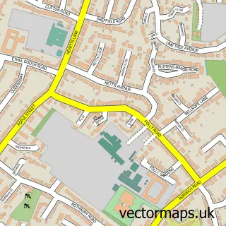
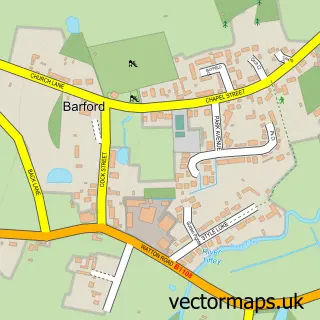
This Easton street map is a detailed vector street map covering a 750m x 750m area. Select a larger area to create and download your own vector street map of Easton.
The 750-metre map sample for Easton covers 379 mapped buildings and approximately 16.8 km of road detail, of which 22 named roads are named. The immediate area includes 2 schools, 1 GP surgery within 2 miles and 1 MOT station within 2 miles. The wider area around Easton features 1 tourism point of interest. To create a larger or custom map of Easton, the map builder lets you define your own coverage area and download editable SVG, PDF and PNG files.
Create a larger editable map of Easton
Choose any area you need and generate a high-quality vector map instantly. Perfect for print, planning, design, business and personal use.

This Easton street map in Norfolk is available as downloadable SVG, PDF and PNG map files, or as a printed map for planning, business, display, education, local information and design work. You can also create a larger custom map area using the map selector.
What this Easton map sample shows
Easton lies within Easton Cp parish, part of Easton ward in the South Norfolk District local authority area. The postcode geography for this area includes the NR postcode area, the NR9 postcode district and the NR9 5 postcode sector. Residents fall under the Nhs Norfolk And Waveney Integrated Care Board for NHS services.
Local features near Easton
Within 2 milesAmenities and services in and around Easton.
Administrative and postcode information for Easton
Easton lies within Easton Cp parish, part of Easton ward in the South Norfolk District local authority area. The postcode geography for this area includes the NR postcode area, the NR9 postcode district and the NR9 5 postcode sector. Residents fall under the Nhs Norfolk And Waveney Integrated Care Board for NHS services.
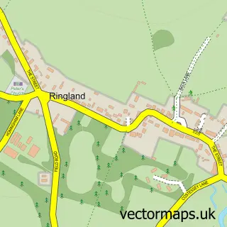
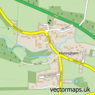
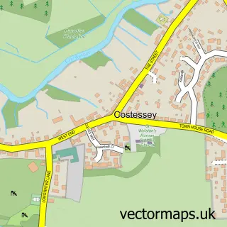
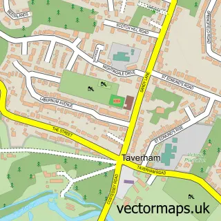
Nearby street map samples around Easton

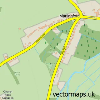
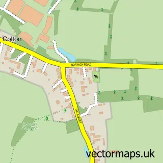
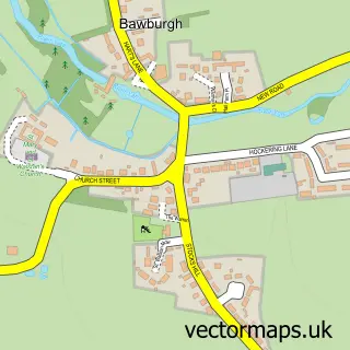
More street maps in Norfolk
750 metre map area coverage
Boundary, postcode and point of interest information for the 750m x 750m rectangle centred on this sample map.
Boundaries containing map centre
Constituency: South Norfolk Co Const
County: Norfolk County
District: South Norfolk District
Icb: NHS Norfolk and Waveney ICB
Parish: Easton CP
Police Force: norfolk
Postcode District: NR9
Postcode Sector: NR9 5
Ward: Easton Ward
Nearby boundaries intersecting sample
No additional intersecting boundaries found.
Postcode coverage
POI category counts
Elementary School: 4
Water Treatment Equipment And Services: 3
Driving School: 2
Plumbing: 2
Professional Services: 2
Shipping Center: 2
Automation Services: 1
Bar: 1
Barber: 1
Beauty Product Supplier: 1
Sample points of interest
- Automated Gateways
- Grady’s Dart Bar
- HRBarbers
- Mityme Beauty
- Sheer Elegance
- Preform Insulations
- Adams Automotive Engineering
- Martins Carpets Ltd
- St Athanasius Coptic Orthodox Church Norwich
- Norwich Discount Shoes
- Easton & Otley College Work Placement
- Easton Village Hall
Create a larger editable map of Easton
This sample shows only a 750 metre area. To create a larger map of Easton, use our map builder to choose your own coverage area, add titles and download editable SVG, PDF and PNG files.
Create a custom map of Easton