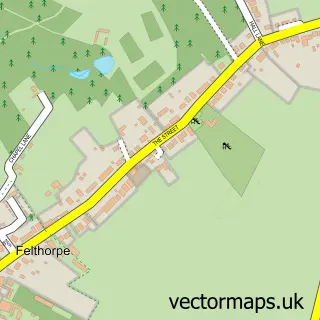
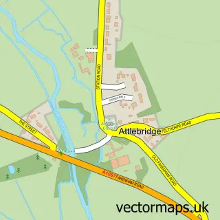
This Taverham street map is a detailed vector street map covering a 750m x 750m area. Select a larger area to create and download your own vector street map of Taverham.
The 750-metre map sample for Taverham covers 405 mapped buildings and approximately 12.0 km of road detail, of which 16 named roads are named. The immediate area includes 2 schools, 1 GP surgery, with 2 within 2 miles and 3 MOT stations within 2 miles. The wider area around Taverham features 1 tourism point of interest. To create a larger or custom map of Taverham, the map builder lets you define your own coverage area and download editable SVG, PDF and PNG files.
Create a larger editable map of Taverham
Choose any area you need and generate a high-quality vector map instantly. Perfect for print, planning, design, business and personal use.

This Taverham street map in Norfolk is available as downloadable SVG, PDF and PNG map files, or as a printed map for planning, business, display, education, local information and design work. You can also create a larger custom map area using the map selector.
What this Taverham map sample shows
Taverham lies within Taverham Cp parish, part of Taverham North ward in the Broadland District local authority area. The postcode geography for this area includes the NR postcode area, the NR8 postcode district and the NR8 6 postcode sector. Residents fall under the Nhs Norfolk And Waveney Integrated Care Board for NHS services.
Local features near Taverham
Within 2 milesAmenities and services in and around Taverham.
Administrative and postcode information for Taverham
The local authority covering Taverham is Broadland District, within the county of Norfolk. The settlement lies within Taverham North ward and Taverham Cp civil parish. The NR8 postcode district and NR8 6 postcode sector serve the immediate area. NHS provision in the area is delivered through Norfolk And Norwich University Hospitals Nhs Foundation Trust.
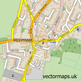
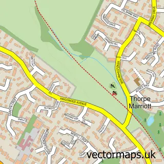
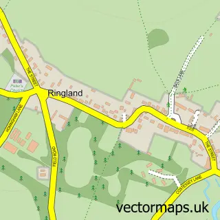
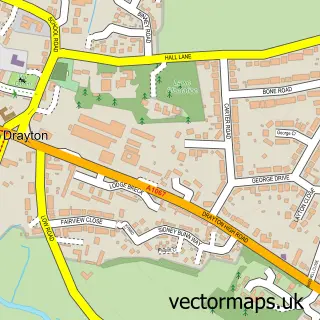
Nearby street map samples around Taverham

More street maps in Norfolk
750 metre map area coverage
Boundary, postcode and point of interest information for the 750m x 750m rectangle centred on this sample map.
Boundaries containing map centre
Constituency: Broadland and Fakenham Co Const
County: Norfolk County
District: Broadland District
Icb: NHS Norfolk and Waveney ICB
Parish: Taverham CP
Police Force: norfolk
Postcode District: NR8
Postcode Sector: NR8 6
Ward: Taverham South Ward
Nearby boundaries intersecting sample
Constituency: South Norfolk Co Const
Parish: Costessey CP
Postcode Sector: NR8 5
Ward: Old Costessey Ward
Postcode coverage
POI category counts
Doctor: 3
Arts And Crafts: 2
Community Services Non Profits: 2
Elementary School: 2
Anglican Church: 1
Building Supply Store: 1
Charity Organization: 1
Child Care And Day Care: 1
Church Cathedral: 1
Community Center: 1
Sample points of interest
- Taverham: St Edmund's
- Craft Buddies Papercraft
- Earth Energy Art
- Norwich House Clearance
- 1st Taverham Scouts
- Taverham & District Day Care Centre
- St Edmunds Church
- Taverham Village Hall
- Social FIELD
- Taverham Fayre
- H Kaszubowski
- P Pinney
Create a larger editable map of Taverham
This sample shows only a 750 metre area. To create a larger map of Taverham, use our map builder to choose your own coverage area, add titles and download editable SVG, PDF and PNG files.
Create a custom map of Taverham