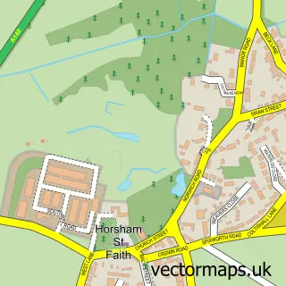
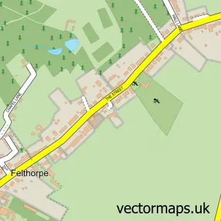
This Horsford street map is a detailed vector street map covering a 750m x 750m area. Select a larger area to create and download your own vector street map of Horsford.
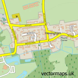
The 750-metre map sample for Horsford covers 555 mapped buildings and approximately 14.2 km of road detail, of which 36 named roads are named. The immediate area includes 1 GP surgery within 2 miles and 7 MOT stations within 2 miles. The wider area around Horsford features 2 tourism points of interest and 2 food and drink venues. To create a larger or custom map of Horsford, the map builder lets you define your own coverage area and download editable SVG, PDF and PNG files.
Create a larger editable map of Horsford
Choose any area you need and generate a high-quality vector map instantly. Perfect for print, planning, design, business and personal use.

This Horsford street map in Norfolk is available as downloadable SVG, PDF and PNG map files, or as a printed map for planning, business, display, education, local information and design work. You can also create a larger custom map area using the map selector.
What this Horsford map sample shows
Horsford lies within Horsford Cp parish, part of Horsford And Felthorpe ward in the Broadland District local authority area. The postcode geography for this area includes the NR postcode area, the NR10 postcode district and the NR10 3 postcode sector. Residents fall under the Nhs Norfolk And Waveney Integrated Care Board for NHS services.
Local features near Horsford
Within 2 milesAmenities and services in and around Horsford.
Administrative and postcode information for Horsford
Horsford lies within Horsford Cp parish, part of Horsford And Felthorpe ward in the Broadland District local authority area. The postcode geography for this area includes the NR postcode area, the NR10 postcode district and the NR10 3 postcode sector. Residents fall under the Nhs Norfolk And Waveney Integrated Care Board for NHS services.
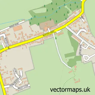
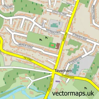
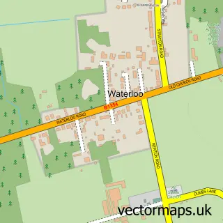
Nearby street map samples around Horsford

More street maps in Norfolk
750 metre map area coverage
Boundary, postcode and point of interest information for the 750m x 750m rectangle centred on this sample map.
Boundaries containing map centre
Constituency: Broadland and Fakenham Co Const
County: Norfolk County
District: Broadland District
Icb: NHS Norfolk and Waveney ICB
Parish: Horsford CP
Police Force: norfolk
Postcode District: NR10
Postcode Sector: NR10 3
Ward: Horsford and Felthorpe Ward
Nearby boundaries intersecting sample
No additional intersecting boundaries found.
Postcode coverage
POI category counts
Beauty Salon: 3
Post Office: 3
Bakery: 2
Coffee Shop: 2
It Service And Computer Repair: 2
Massage Therapy: 2
Park: 2
Professional Services: 2
Retail: 2
Assisted Living Facility: 1
Sample points of interest
- Grenville Court Care Home
- Holt Road Tuning
- Tractor and Plant Glass
- EJR Motors Ltd
- Cina's Delicious Cakes
- Meadowsweet Cakes
- B1 Barbers
- Brow Clinic Norfolk
- Infinity Nails
- Serenity Hair & Beauty
- elemis
- Church Farm Guest House
Create a larger editable map of Horsford
This sample shows only a 750 metre area. To create a larger map of Horsford, use our map builder to choose your own coverage area, add titles and download editable SVG, PDF and PNG files.
Create a custom map of Horsford