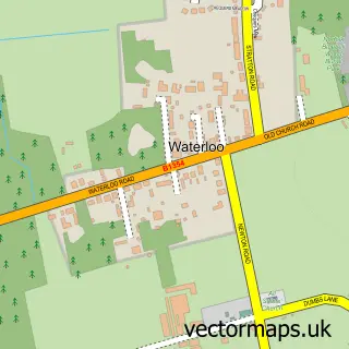
This Newton St Faith street map is a detailed vector street map covering a 750m x 750m area. Select a larger area to create and download your own vector street map of Newton St Faith.
The 750-metre map sample for Newton St Faith covers 228 mapped buildings and approximately 5.8 km of road detail, of which 5 named roads are named. The immediate area includes 1 MOT station, with 4 within 2 miles. To create a larger or custom map of Newton St Faith, the map builder lets you define your own coverage area and download editable SVG, PDF and PNG files.
Create a larger editable map of Newton St Faith
Choose any area you need and generate a high-quality vector map instantly. Perfect for print, planning, design, business and personal use.

This Newton St Faith street map in Norfolk is available as downloadable SVG, PDF and PNG map files, or as a printed map for planning, business, display, education, local information and design work. You can also create a larger custom map area using the map selector.
What this Newton St Faith map sample shows
Newton St Faith lies within Horsham St. Faith And Newton St. Faith Cp parish, part of Spixworth With St Faiths ward in the Broadland District local authority area. The postcode geography for this area includes the NR postcode area, the NR10 postcode district and the NR10 3 postcode sector. Residents fall under the Nhs Norfolk And Waveney Integrated Care Board for NHS services.
Local features near Newton St Faith
Within 2 milesAmenities and services in and around Newton St Faith.
Administrative and postcode information for Newton St Faith
Newton St Faith lies within Horsham St. Faith And Newton St. Faith Cp parish, part of Spixworth With St Faiths ward in the Broadland District local authority area. The postcode geography for this area includes the NR postcode area, the NR10 postcode district and the NR10 3 postcode sector. Residents fall under the Nhs Norfolk And Waveney Integrated Care Board for NHS services.
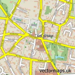
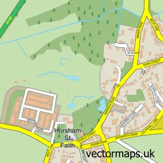
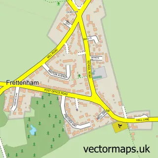
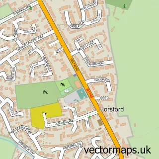
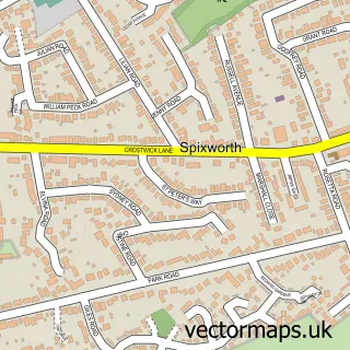
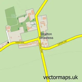
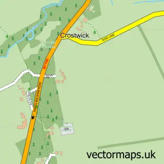
Nearby street map samples around Newton St Faith

More street maps in Norfolk
750 metre map area coverage
Boundary, postcode and point of interest information for the 750m x 750m rectangle centred on this sample map.
Boundaries containing map centre
Constituency: Broadland and Fakenham Co Const
County: Norfolk County
District: Broadland District
Icb: NHS Norfolk and Waveney ICB
Parish: Horsham St. Faith and Newton St. Faith CP
Police Force: norfolk
Postcode District: NR10
Postcode Sector: NR10 3
Ward: Spixworth with St. Faiths Ward
Nearby boundaries intersecting sample
No additional intersecting boundaries found.
Postcode coverage
POI category counts
Automotive Repair: 3
Building Supply Store: 2
Advertising Agency: 1
Arts And Crafts: 1
Auto Body Shop: 1
Auto Upholstery: 1
Machine And Tool Rentals: 1
Packing Supply: 1
Pest Control Service: 1
Professional Services: 1
Sample points of interest
- Evans Elite Carpentry
- Raven Crafts Wholesale
- Arris Auto
- Notley Upholstery
- Crown Garage
- Crown Garage
- M K Repairs Ltd
- Expressserve Glazing
- Flydor
- Harford Plant Services
- Shrinkit
- Flydor Ltd
Create a larger editable map of Newton St Faith
This sample shows only a 750 metre area. To create a larger map of Newton St Faith, use our map builder to choose your own coverage area, add titles and download editable SVG, PDF and PNG files.
Create a custom map of Newton St Faith