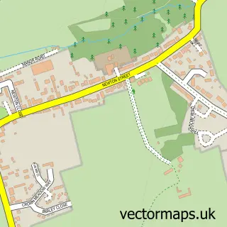
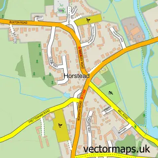
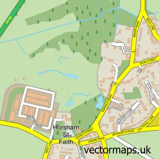
This Frettenham street map is a detailed vector street map covering a 750m x 750m area. Select a larger area to create and download your own vector street map of Frettenham.
The 750-metre map sample for Frettenham covers 236 mapped buildings and approximately 7.7 km of road detail, of which 16 named roads are named. The immediate area includes 1 school and 5 MOT stations within 2 miles. To create a larger or custom map of Frettenham, the map builder lets you define your own coverage area and download editable SVG, PDF and PNG files.
Create a larger editable map of Frettenham
Choose any area you need and generate a high-quality vector map instantly. Perfect for print, planning, design, business and personal use.

This Frettenham street map in Norfolk is available as downloadable SVG, PDF and PNG map files, or as a printed map for planning, business, display, education, local information and design work. You can also create a larger custom map area using the map selector.
What this Frettenham map sample shows
Frettenham lies within Frettenham Cp parish, part of Buxton ward in the Broadland District local authority area. The postcode geography for this area includes the NR postcode area, the NR12 postcode district and the NR12 7 postcode sector. Residents fall under the Nhs Norfolk And Waveney Integrated Care Board for NHS services.
Local features near Frettenham
Within 2 milesAmenities and services in and around Frettenham.
Administrative and postcode information for Frettenham
The local authority covering Frettenham is Broadland District, within the county of Norfolk. The settlement lies within Buxton ward and Frettenham Cp civil parish. The NR12 postcode district and NR12 7 postcode sector serve the immediate area. NHS provision in the area is delivered through Norfolk And Norwich University Hospitals Nhs Foundation Trust.
Nearby street map samples around Frettenham
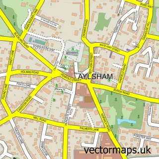

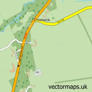
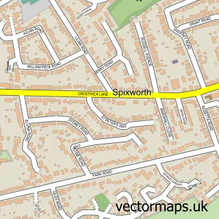
More street maps in Norfolk
750 metre map area coverage
Boundary, postcode and point of interest information for the 750m x 750m rectangle centred on this sample map.
Boundaries containing map centre
Constituency: Broadland and Fakenham Co Const
County: Norfolk County
District: Broadland District
Icb: NHS Norfolk and Waveney ICB
Parish: Frettenham CP
Police Force: norfolk
Postcode District: NR12
Postcode Sector: NR12 7
Ward: Buxton Ward
Nearby boundaries intersecting sample
No additional intersecting boundaries found.
Postcode coverage
POI category counts
Beauty Salon: 1
Builders: 1
Building Supply Store: 1
Elementary School: 1
Fitness Trainer: 1
Home Inspector: 1
Jewelry Repair Service: 1
Pest Control Service: 1
Pet Groomer: 1
Podiatrist: 1
Sample points of interest
- Glow Skincare & Beauty
- Ideal Construction
- Just Skips
- Frettenham Primary Partnership School
- Hall Health & Fitness Coaching
- Trevor Miller EPC Norfolk
- Kristian Buller
- Michael Armes Pest Control Services
- School Road Dog Groomers
- The Foot Lady
- Hainford and Frettenham Pre-School
- Lady Lou Photography
Create a larger editable map of Frettenham
This sample shows only a 750 metre area. To create a larger map of Frettenham, use our map builder to choose your own coverage area, add titles and download editable SVG, PDF and PNG files.
Create a custom map of Frettenham