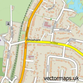
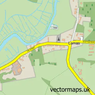
This Coltishall street map is a detailed vector street map covering a 750m x 750m area. Select a larger area to create and download your own vector street map of Coltishall.
The 750-metre map sample for Coltishall covers 211 mapped buildings and approximately 7.5 km of road detail, of which 13 named roads are named. The immediate area includes 1 school, 1 GP surgery, 1 pub and 1 MOT station, with 2 within 2 miles. The wider area around Coltishall features 2 tourism points of interest, 3 food and drink venues and 3 hotels. To create a larger or custom map of Coltishall, the map builder lets you define your own coverage area and download editable SVG, PDF and PNG files.
Create a larger editable map of Coltishall
Choose any area you need and generate a high-quality vector map instantly. Perfect for print, planning, design, business and personal use.

This Coltishall street map in Norfolk is available as downloadable SVG, PDF and PNG map files, or as a printed map for planning, business, display, education, local information and design work. You can also create a larger custom map area using the map selector.
What this Coltishall map sample shows
Coltishall lies within Coltishall Cp parish, part of Coltishall ward in the Broadland District local authority area. The postcode geography for this area includes the NR postcode area, the NR12 postcode district and the NR12 7 postcode sector. Residents fall under the Nhs Norfolk And Waveney Integrated Care Board for NHS services.
Local features near Coltishall
Within 2 milesAmenities and services in and around Coltishall.
Administrative and postcode information for Coltishall
Coltishall lies within Coltishall Cp parish, part of Coltishall ward in the Broadland District local authority area. The postcode geography for this area includes the NR postcode area, the NR12 postcode district and the NR12 7 postcode sector. Residents fall under the Nhs Norfolk And Waveney Integrated Care Board for NHS services.
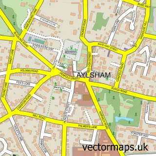
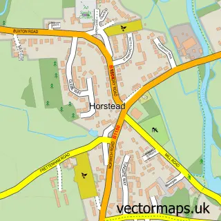
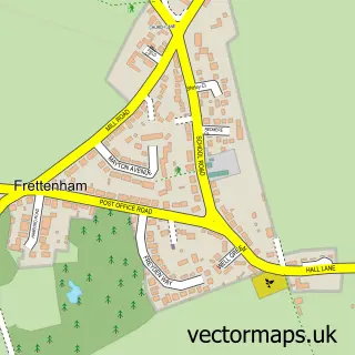
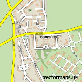
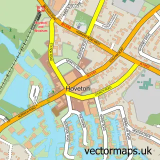
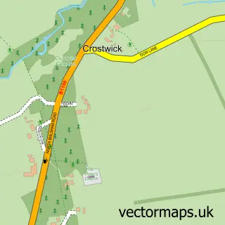
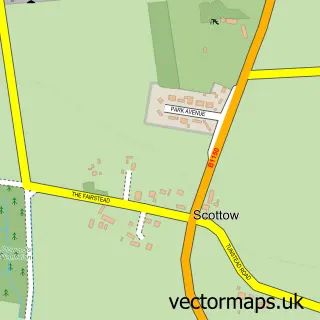
Nearby street map samples around Coltishall

More street maps in Norfolk
750 metre map area coverage
Boundary, postcode and point of interest information for the 750m x 750m rectangle centred on this sample map.
Boundaries containing map centre
Constituency: Broadland and Fakenham Co Const
County: Norfolk County
District: Broadland District
Icb: NHS Norfolk and Waveney ICB
Parish: Coltishall CP
Police Force: norfolk
Postcode District: NR12
Postcode Sector: NR12 7
Ward: Coltishall Ward
Nearby boundaries intersecting sample
Parish: Horstead with Stanninghall CP
Postcode coverage
POI category counts
Hair Salon: 4
Doctor: 3
Gas Station: 3
Hotel: 3
Attractions And Activities: 2
Automotive Repair: 2
Beauty Salon: 2
Boat Rental And Training: 2
Convenience Store: 2
Pharmacy: 2
Sample points of interest
- Durbin Towers
- Norfolk Tax Digital
- Alenka Mullin Acupuncture
- St.John the Baptist, Coltishall
- Capital Culture Gallery
- GG Petro Ltd (Link DC) (LOCK SWAP), Coltishall
- Coltishall Allotments
- Coltishall Playing Field
- Central Garage
- M Kraft Independent BMW Specialist
- The Red Lion Coltishall
- Rejuvenate Beauty by Sophie
Create a larger editable map of Coltishall
This sample shows only a 750 metre area. To create a larger map of Coltishall, use our map builder to choose your own coverage area, add titles and download editable SVG, PDF and PNG files.
Create a custom map of Coltishall