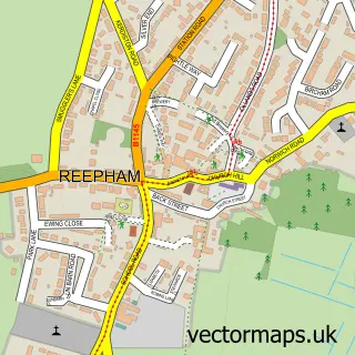
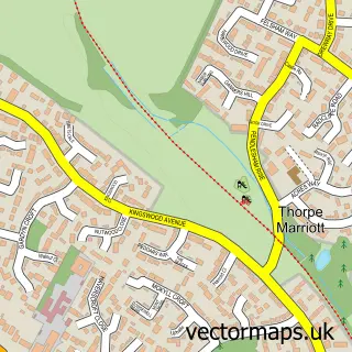
This Attlebridge street map is a detailed vector street map covering a 750m x 750m area. Select a larger area to create and download your own vector street map of Attlebridge.
The 750-metre map sample for Attlebridge covers 69 mapped buildings and approximately 9.6 km of road detail, of which 6 named roads are named. The immediate area includes 2 MOT stations within 2 miles. To create a larger or custom map of Attlebridge, the map builder lets you define your own coverage area and download editable SVG, PDF and PNG files.
Create a larger editable map of Attlebridge
Choose any area you need and generate a high-quality vector map instantly. Perfect for print, planning, design, business and personal use.

This Attlebridge street map in Norfolk is available as downloadable SVG, PDF and PNG map files, or as a printed map for planning, business, display, education, local information and design work. You can also create a larger custom map area using the map selector.
What this Attlebridge map sample shows
Attlebridge lies within Attlebridge Cp parish, part of Great Witchingham ward in the Broadland District local authority area. The postcode geography for this area includes the NR postcode area, the NR9 postcode district and the NR9 5 postcode sector. Residents fall under the Nhs Norfolk And Waveney Integrated Care Board for NHS services.
Local features near Attlebridge
Within 2 milesAmenities and services in and around Attlebridge.
Administrative and postcode information for Attlebridge
Attlebridge lies within Attlebridge Cp parish, part of Great Witchingham ward in the Broadland District local authority area. The postcode geography for this area includes the NR postcode area, the NR9 postcode district and the NR9 5 postcode sector. Residents fall under the Nhs Norfolk And Waveney Integrated Care Board for NHS services.
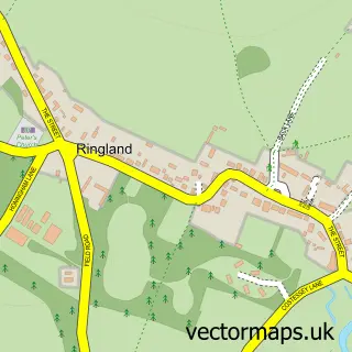
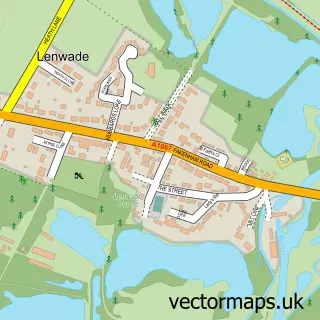
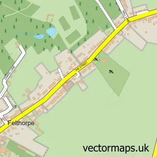
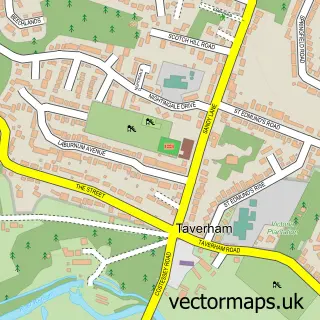
Nearby street map samples around Attlebridge

More street maps in Norfolk
750 metre map area coverage
Boundary, postcode and point of interest information for the 750m x 750m rectangle centred on this sample map.
Boundaries containing map centre
Constituency: Broadland and Fakenham Co Const
County: Norfolk County
District: Broadland District
Icb: NHS Norfolk and Waveney ICB
Parish: Attlebridge CP
Police Force: norfolk
Postcode District: NR9
Postcode Sector: NR9 5
Ward: Great Witchingham Ward
Nearby boundaries intersecting sample
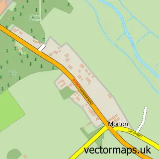
Parish: Morton on the Hill CP
Postcode coverage
POI category counts
Jewelry Store: 2
Agricultural Service: 1
Anglican Church: 1
Construction Services: 1
Employment Agencies: 1
Hospital: 1
Metal Fabricator: 1
Osteopathic Physician: 1
Political Party Office: 1
Post Office: 1
Sample points of interest
- J Riley Agri
- Attlebridge St Andrew
- Attlebridge Concrete Products
- Technique Recruitment Solutions
- Beyond Inspired Fitness & Sports Therapy
- The Jewellery Cottage
- The Jewellery Cottage
- Ferron Fabrications Ltd.
- Lone Tree Clinic
- Broadland Conservative Association
- Post Office
- Attlebridge Nursery School
Create a larger editable map of Attlebridge
This sample shows only a 750 metre area. To create a larger map of Attlebridge, use our map builder to choose your own coverage area, add titles and download editable SVG, PDF and PNG files.
Create a custom map of Attlebridge