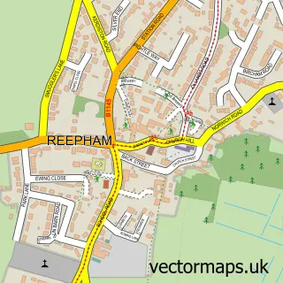
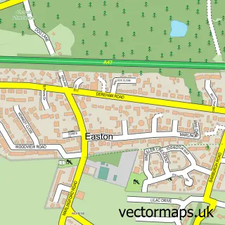
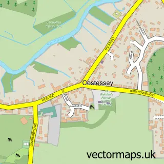
This Ringland street map is a detailed vector street map covering a 750m x 750m area. Select a larger area to create and download your own vector street map of Ringland.
The 750-metre map sample for Ringland covers 122 mapped buildings and approximately 13.1 km of road detail, of which 7 named roads are named. The immediate area includes 1 GP surgery within 2 miles and 1 MOT station within 2 miles. The wider area around Ringland features 1 food and drink venue. To create a larger or custom map of Ringland, the map builder lets you define your own coverage area and download editable SVG, PDF and PNG files.
Create a larger editable map of Ringland
Choose any area you need and generate a high-quality vector map instantly. Perfect for print, planning, design, business and personal use.

This Ringland street map in Norfolk is available as downloadable SVG, PDF and PNG map files, or as a printed map for planning, business, display, education, local information and design work. You can also create a larger custom map area using the map selector.
What this Ringland map sample shows
Ringland lies within Ringland Cp parish, part of Great Witchingham ward in the Broadland District local authority area. The postcode geography for this area includes the NR postcode area, the NR8 postcode district and the NR8 6 postcode sector. Residents fall under the Nhs Norfolk And Waveney Integrated Care Board for NHS services.
Local features near Ringland
Within 2 milesAmenities and services in and around Ringland.
Administrative and postcode information for Ringland
The local authority covering Ringland is Broadland District, within the county of Norfolk. The settlement lies within Great Witchingham ward and Ringland Cp civil parish. The NR8 postcode district and NR8 6 postcode sector serve the immediate area. NHS provision in the area is delivered through Norfolk And Norwich University Hospitals Nhs Foundation Trust.
Nearby street map samples around Ringland

More street maps in Norfolk
750 metre map area coverage
Boundary, postcode and point of interest information for the 750m x 750m rectangle centred on this sample map.
Boundaries containing map centre
Constituency: Broadland and Fakenham Co Const
County: Norfolk County
District: Broadland District
Icb: NHS Norfolk and Waveney ICB
Parish: Ringland CP
Police Force: norfolk
Postcode District: NR8
Postcode Sector: NR8 6
Ward: Great Witchingham Ward
Nearby boundaries intersecting sample
Parish: Taverham CP
Ward: Taverham South Ward
Postcode coverage
POI category counts
Church Cathedral: 2
Anglican Church: 1
Arts And Entertainment: 1
Flowers And Gifts Shop: 1
Health And Medical: 1
Marketing Consultant: 1
Property Management: 1
Public And Government Association: 1
Real Estate: 1
Restaurant: 1
Sample points of interest
- Ringland St Peter
- Taverham Band
- St Peter's Church
- St Peter, Ringland
- Jacquelinek
- Knitting Things
- Norfolk Seo Services
- Premier Property Maintenance Norwich
- Ringland Parish Council
- We Build Any Property UK Limited
- The Swan Inn Ringland
- Broadland Flat Roofing
Create a larger editable map of Ringland
This sample shows only a 750 metre area. To create a larger map of Ringland, use our map builder to choose your own coverage area, add titles and download editable SVG, PDF and PNG files.
Create a custom map of Ringland