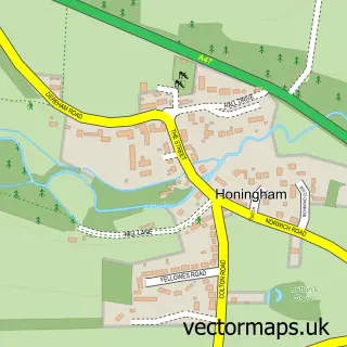
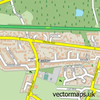
This Colton street map is a detailed vector street map covering a 750m x 750m area. Select a larger area to create and download your own vector street map of Colton.
The 750-metre map sample for Colton covers 80 mapped buildings and approximately 5.4 km of road detail, of which 2 named roads are named. The immediate area includes 1 MOT station within 2 miles. To create a larger or custom map of Colton, the map builder lets you define your own coverage area and download editable SVG, PDF and PNG files.
Create a larger editable map of Colton
Choose any area you need and generate a high-quality vector map instantly. Perfect for print, planning, design, business and personal use.

This Colton street map in Norfolk is available as downloadable SVG, PDF and PNG map files, or as a printed map for planning, business, display, education, local information and design work. You can also create a larger custom map area using the map selector.
What this Colton map sample shows
Colton lies within Marlingford And Colton Cp parish, part of Easton ward in the South Norfolk District local authority area. The postcode geography for this area includes the NR postcode area, the NR9 postcode district and the NR9 5 postcode sector. Residents fall under the Nhs Norfolk And Waveney Integrated Care Board for NHS services.
Local features near Colton
Within 2 milesAmenities and services in and around Colton.
Administrative and postcode information for Colton
The local authority covering Colton is South Norfolk District, within the county of Norfolk. The settlement lies within Easton ward and Marlingford And Colton Cp civil parish. The NR9 postcode district and NR9 5 postcode sector serve the immediate area. NHS provision in the area is delivered through Norfolk And Norwich University Hospitals Nhs Foundation Trust.
Nearby street map samples around Colton

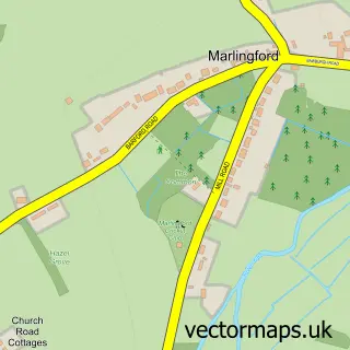
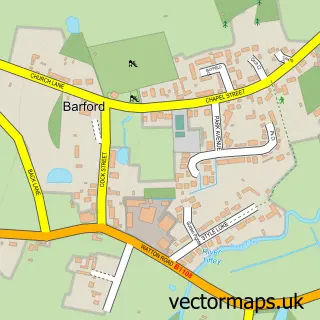
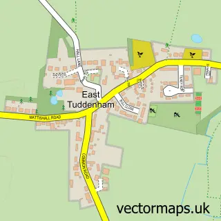
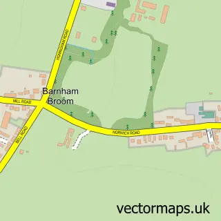
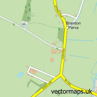

More street maps in Norfolk
750 metre map area coverage
Boundary, postcode and point of interest information for the 750m x 750m rectangle centred on this sample map.
Boundaries containing map centre
Constituency: South Norfolk Co Const
County: Norfolk County
District: South Norfolk District
Icb: NHS Norfolk and Waveney ICB
Parish: Marlingford and Colton CP
Police Force: norfolk
Postcode District: NR9
Postcode Sector: NR9 5
Ward: Easton Ward
Nearby boundaries intersecting sample
Constituency: Broadland and Fakenham Co Const
District: Broadland District
Parish: Honingham CP
Ward: Great Witchingham Ward
Postcode coverage
POI category counts
Auto Glass Service: 2
Warehouses: 2
Agricultural Cooperatives: 1
Business To Business: 1
Driving School: 1
Farm: 1
Forestry Service: 1
Health Food Store: 1
Home Service: 1
Hvac Services: 1
Sample points of interest
- The AF Group
- Glas Weld Systems UK Ltd.
- Screen-Savers Windscreen Repair
- Anglia Farmers Ltd.
- Care Motoring
- Honingham Thorpe Farm
- A F Group
- Collanature
- MAAC Heating & Cooling
- Maac Heating And Cooling
- V Depot
- Vdepot Ltd.
Create a larger editable map of Colton
This sample shows only a 750 metre area. To create a larger map of Colton, use our map builder to choose your own coverage area, add titles and download editable SVG, PDF and PNG files.
Create a custom map of Colton