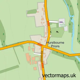
This Barton Stacey street map is a detailed vector street map covering a 750m x 750m area. Select a larger area to create and download your own vector street map of Barton Stacey.
The 750-metre map sample for Barton Stacey covers 141 mapped buildings and approximately 16.2 km of road detail, of which 7 named roads are named. The immediate area includes 1 pub and 2 MOT stations within 2 miles. The wider area around Barton Stacey features 1 tourism point of interest and 1 food and drink venue. To create a larger or custom map of Barton Stacey, the map builder lets you define your own coverage area and download editable SVG, PDF and PNG files.
Create a larger editable map of Barton Stacey
Choose any area you need and generate a high-quality vector map instantly. Perfect for print, planning, design, business and personal use.

This Barton Stacey street map in Hampshire is available as downloadable SVG, PDF and PNG map files, or as a printed map for planning, business, display, education, local information and design work. You can also create a larger custom map area using the map selector.
What this Barton Stacey map sample shows
Barton Stacey lies within Barton Stacey Cp parish, part of Harewood ward in the Test Valley District local authority area. The postcode geography for this area includes the SO postcode area, the SO21 postcode district and the SO21 3 postcode sector. Residents fall under the Nhs Hampshire And Isle Of Wight Integrated Care Board for NHS services.
Local features near Barton Stacey
Within 2 milesAmenities and services in and around Barton Stacey.
Administrative and postcode information for Barton Stacey
The local authority covering Barton Stacey is Test Valley District, within the county of Hampshire. The settlement lies within Harewood ward and Barton Stacey Cp civil parish. The SO21 postcode district and SO21 3 postcode sector serve the immediate area. NHS provision in the area is delivered through Hampshire Hospitals Nhs Foundation Trust.
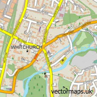
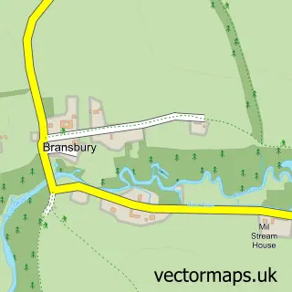
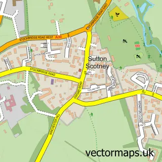
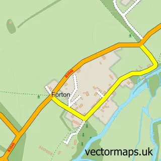
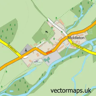
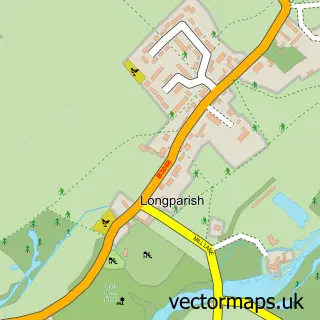
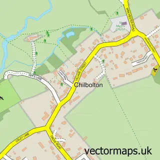
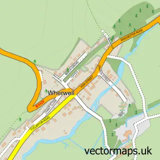
Nearby street map samples around Barton Stacey

More street maps in Hampshire
750 metre map area coverage
Boundary, postcode and point of interest information for the 750m x 750m rectangle centred on this sample map.
Boundaries containing map centre
Constituency: Romsey and Southampton North Co Const
County: Hampshire County
District: Test Valley District
Icb: NHS Hampshire and Isle of Wight ICB
Parish: Barton Stacey CP
Police Force: hampshire
Postcode District: SO21
Postcode Sector: SO21 3
Ward: Harewood Ward
Nearby boundaries intersecting sample
No additional intersecting boundaries found.
Postcode coverage
POI category counts
Convenience Store: 2
Airport Shuttles: 1
Anglican Church: 1
Breakfast And Brunch Restaurant: 1
Building Supply Store: 1
Carpenter: 1
Chimney Sweep: 1
Church Cathedral: 1
Event Planning: 1
Food Delivery Service: 1
Sample points of interest
- Barton Stacey Taxi
- All Saints, Barton Stacey
- Toast
- Alexander Design
- Lee'S Affordable Carpentry
- Toast
- Barton Stacey Church
- Barton Stacey Post Office & Stores
- SPAR Barton Stacey
- Clinical Technology Consultants
- Evri ParcelShop
- Barton Stacey Recreation Ground
Create a larger editable map of Barton Stacey
This sample shows only a 750 metre area. To create a larger map of Barton Stacey, use our map builder to choose your own coverage area, add titles and download editable SVG, PDF and PNG files.
Create a custom map of Barton Stacey