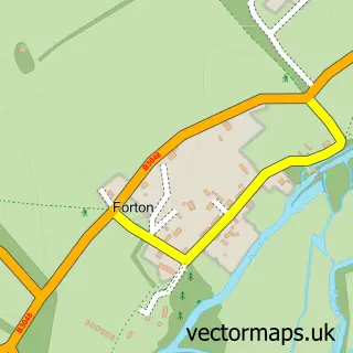
This Sutton Scotney street map is a detailed vector street map covering a 750m x 750m area. Select a larger area to create and download your own vector street map of Sutton Scotney.
The 750-metre map sample for Sutton Scotney covers 213 mapped buildings and approximately 10.5 km of road detail, of which 19 named roads are named. The immediate area includes 1 GP surgery, 1 pub and 1 MOT station within 2 miles. The wider area around Sutton Scotney features 1 tourism point of interest and 1 food and drink venue. To create a larger or custom map of Sutton Scotney, the map builder lets you define your own coverage area and download editable SVG, PDF and PNG files.
Create a larger editable map of Sutton Scotney
Choose any area you need and generate a high-quality vector map instantly. Perfect for print, planning, design, business and personal use.

This Sutton Scotney street map in Hampshire is available as downloadable SVG, PDF and PNG map files, or as a printed map for planning, business, display, education, local information and design work. You can also create a larger custom map area using the map selector.
What this Sutton Scotney map sample shows
Sutton Scotney lies within Wonston Cp parish, part of Wonston And Micheldever ward in the Winchester District (B) local authority area. The postcode geography for this area includes the SO postcode area, the SO21 postcode district and the SO21 3 postcode sector. Residents fall under the Nhs Hampshire And Isle Of Wight Integrated Care Board for NHS services.
Local features near Sutton Scotney
Within 2 milesAmenities and services in and around Sutton Scotney.
Administrative and postcode information for Sutton Scotney
Sutton Scotney lies within Wonston Cp parish, part of Wonston And Micheldever ward in the Winchester District (B) local authority area. The postcode geography for this area includes the SO postcode area, the SO21 postcode district and the SO21 3 postcode sector. Residents fall under the Nhs Hampshire And Isle Of Wight Integrated Care Board for NHS services.
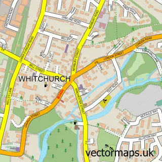
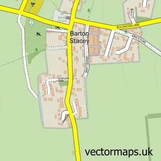
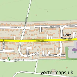
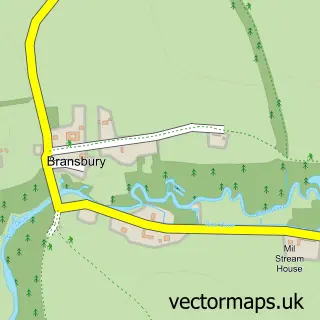
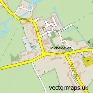
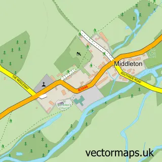
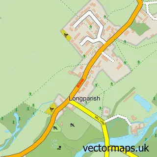
Nearby street map samples around Sutton Scotney

More street maps in Hampshire
750 metre map area coverage
Boundary, postcode and point of interest information for the 750m x 750m rectangle centred on this sample map.
Boundaries containing map centre
Constituency: Winchester Co Const
County: Hampshire County
District: Winchester District (B)
Icb: NHS Hampshire and Isle of Wight ICB
Parish: Wonston CP
Police Force: hampshire
Postcode District: SO21
Postcode Sector: SO21 3
Ward: Wonston & Micheldever Ward
Nearby boundaries intersecting sample
No additional intersecting boundaries found.
Postcode coverage
POI category counts
Assisted Living Facility: 2
Community Center: 2
Gas Station: 2
Organic Grocery Store: 2
Attractions And Activities: 1
Auditorium: 1
Beauty And Spa: 1
Beer Bar: 1
Convenience Store: 1
Doctor: 1
Sample points of interest
- Sutton Manor Mews
- Sutton Manor Nursing Home
- The Gratton Recreational Ground
- Sutton Scotney Village Hall
- Scotney Salon
- The beach at the Wonston Arms Village Pub
- Victoria Hall
- Victoria Hall Sutton Scotney
- SPAR Elite Garage Sutton Scotney
- Gratton Surgery
- Dever Dog Care
- My Home Extension
Create a larger editable map of Sutton Scotney
This sample shows only a 750 metre area. To create a larger map of Sutton Scotney, use our map builder to choose your own coverage area, add titles and download editable SVG, PDF and PNG files.
Create a custom map of Sutton Scotney