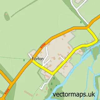
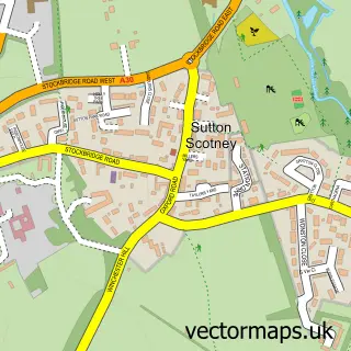
This Longparish street map is a detailed vector street map covering a 750m x 750m area. Select a larger area to create and download your own vector street map of Longparish.
The 750-metre map sample for Longparish covers 103 mapped buildings and approximately 5.4 km of road detail, of which 1 named road are named. The immediate area includes 2 pubs. The wider area around Longparish features 1 tourism point of interest and 2 food and drink venues. To create a larger or custom map of Longparish, the map builder lets you define your own coverage area and download editable SVG, PDF and PNG files.
Create a larger editable map of Longparish
Choose any area you need and generate a high-quality vector map instantly. Perfect for print, planning, design, business and personal use.

This Longparish street map in Hampshire is available as downloadable SVG, PDF and PNG map files, or as a printed map for planning, business, display, education, local information and design work. You can also create a larger custom map area using the map selector.
What this Longparish map sample shows
Longparish lies within Longparish Cp parish, part of Harewood ward in the Test Valley District local authority area. The postcode geography for this area includes the SP postcode area, the SP11 postcode district and the SP11 6 postcode sector. Residents fall under the Nhs Hampshire And Isle Of Wight Integrated Care Board for NHS services.
Local features near Longparish
Within 2 milesAmenities and services in and around Longparish.
Administrative and postcode information for Longparish
The local authority covering Longparish is Test Valley District, within the county of Hampshire. The settlement lies within Harewood ward and Longparish Cp civil parish. The SP11 postcode district and SP11 6 postcode sector serve the immediate area. NHS provision in the area is delivered through Hampshire Hospitals Nhs Foundation Trust.
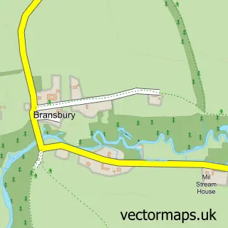
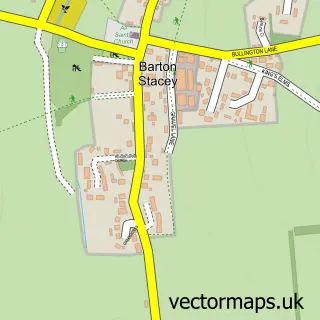
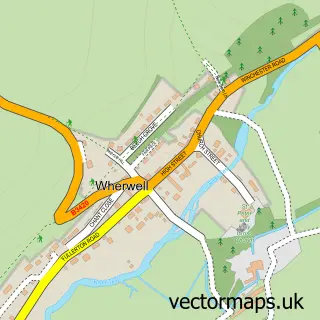
Nearby street map samples around Longparish

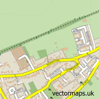
More street maps in Hampshire
750 metre map area coverage
Boundary, postcode and point of interest information for the 750m x 750m rectangle centred on this sample map.
Boundaries containing map centre
Constituency: Romsey and Southampton North Co Const
County: Hampshire County
District: Test Valley District
Icb: NHS Hampshire and Isle of Wight ICB
Parish: Longparish CP
Police Force: hampshire
Postcode District: SP11
Postcode Sector: SP11 6
Ward: Harewood Ward
Nearby boundaries intersecting sample
No additional intersecting boundaries found.
Postcode coverage
POI category counts
Post Office: 2
Pub: 2
Appliance Store: 1
Beer Bar: 1
Building Supply Store: 1
Clothing Store: 1
Convenience Store: 1
Cricket Ground: 1
Driving School: 1
Grocery Store: 1
Sample points of interest
- Alexanders Appliances Direct
- Memories of The Cricketers Inn, Longparish 2020-2024
- MPH Services
- Little Bou
- Londis ACRE STORES
- Longparish Cricket Club
- Have a Go Automatic
- Acre Stores, Longparish's Village Shop
- Bibbys
- Hamilton Pools
- Longparish Post Office
- Post Office
Create a larger editable map of Longparish
This sample shows only a 750 metre area. To create a larger map of Longparish, use our map builder to choose your own coverage area, add titles and download editable SVG, PDF and PNG files.
Create a custom map of Longparish