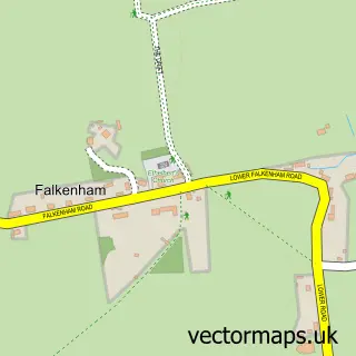
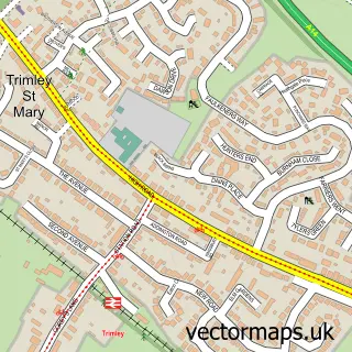
This Bawdsey street map is a detailed vector street map covering a 750m x 750m area. Select a larger area to create and download your own vector street map of Bawdsey.
The 750-metre map sample for Bawdsey covers 119 mapped buildings and approximately 8.0 km of road detail, of which 8 named roads are named. The immediate area includes 1 school and 1 GP surgery within 2 miles. The wider area around Bawdsey features 1 tourism point of interest. To create a larger or custom map of Bawdsey, the map builder lets you define your own coverage area and download editable SVG, PDF and PNG files.
Create a larger editable map of Bawdsey
Choose any area you need and generate a high-quality vector map instantly. Perfect for print, planning, design, business and personal use.

This Bawdsey street map in Suffolk is available as downloadable SVG, PDF and PNG map files, or as a printed map for planning, business, display, education, local information and design work. You can also create a larger custom map area using the map selector.
What this Bawdsey map sample shows
Bawdsey lies within Bawdsey Cp parish, part of Deben ward in the East Suffolk District local authority area. The postcode geography for this area includes the IP postcode area, the IP12 postcode district and the IP12 3 postcode sector. Residents fall under the Nhs Suffolk And North East Essex Integrated Care Board for NHS services.
Local features near Bawdsey
Within 2 milesAmenities and services in and around Bawdsey.
Administrative and postcode information for Bawdsey
The local authority covering Bawdsey is East Suffolk District, within the county of Suffolk. The settlement lies within Deben ward and Bawdsey Cp civil parish. The IP12 postcode district and IP12 3 postcode sector serve the immediate area. NHS provision in the area is delivered through East Suffolk And North Essex Nhs Foundation Trust.
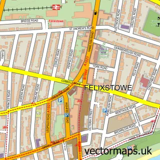
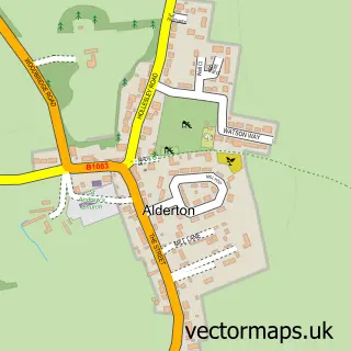
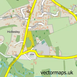
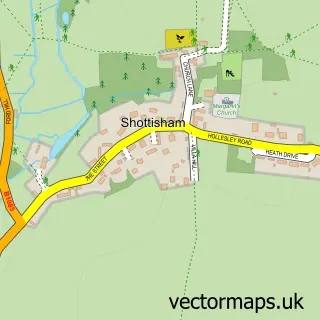
Nearby street map samples around Bawdsey

More street maps in Suffolk
750 metre map area coverage
Boundary, postcode and point of interest information for the 750m x 750m rectangle centred on this sample map.
Boundaries containing map centre
Constituency: Suffolk Coastal Co Const
County: Suffolk County
District: East Suffolk District
Icb: NHS Essex ICB
Parish: Bawdsey CP
Police Force: suffolk
Postcode District: IP12
Postcode Sector: IP12 3
Ward: Deben Ward
Nearby boundaries intersecting sample
No additional intersecting boundaries found.
Postcode coverage
POI category counts
Anglican Church: 1
Cleaning Services: 1
Elementary School: 1
Health And Medical: 1
Industrial Equipment: 1
Interior Design: 1
Landmark And Historical Building: 1
Marketing Agency: 1
Pest Control Service: 1
Professional Services: 1
Sample points of interest
- Bawdsey, St Mary the Virgin
- Tml
- Bawdsey Primary School
- Martin Wilks
- Deltaqua International Ltd.
- Outside In Studio
- Bawdsey
- Outsource Your Marketing
- Urban Wolf Pest Control Services
- TML - Bawdsey Ltd
- Multi Creative Media
Create a larger editable map of Bawdsey
This sample shows only a 750 metre area. To create a larger map of Bawdsey, use our map builder to choose your own coverage area, add titles and download editable SVG, PDF and PNG files.
Create a custom map of Bawdsey