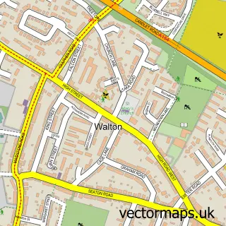
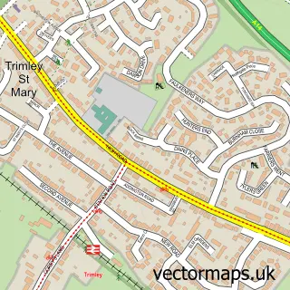
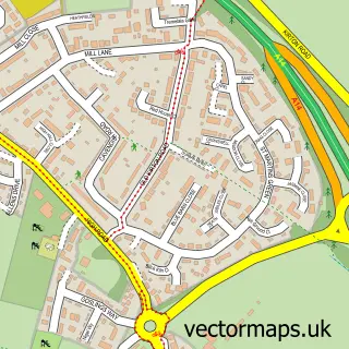
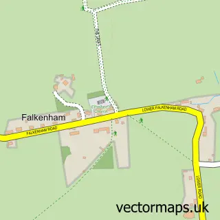
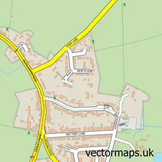
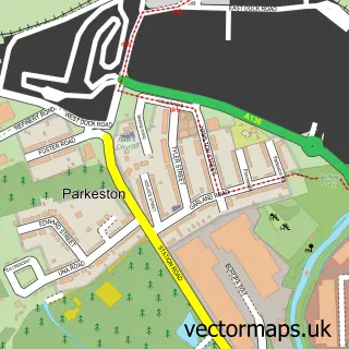
This Felixstowe street map is a detailed vector street map covering a 750m x 750m area. Select a larger area to create and download your own vector street map of Felixstowe.
The 750-metre map sample for Felixstowe covers 504 mapped buildings and approximately 22.7 km of road detail, of which 36 named roads are named. The immediate area includes 1 railway station, 1 GP surgery, with 3 within 2 miles, 2 pubs and 4 MOT stations, with 8 within 2 miles. The wider area around Felixstowe features 1 tourism point of interest, 15 food and drink venues and 4 hotels. To create a larger or custom map of Felixstowe, the map builder lets you define your own coverage area and download editable SVG, PDF and PNG files.
Create a larger editable map of Felixstowe
Choose any area you need and generate a high-quality vector map instantly. Perfect for print, planning, design, business and personal use.

This Felixstowe street map in Suffolk is available as downloadable SVG, PDF and PNG map files, or as a printed map for planning, business, display, education, local information and design work. You can also create a larger custom map area using the map selector.
What this Felixstowe map sample shows
Felixstowe lies within Felixstowe Cp parish, part of Eastern Felixstowe ward in the East Suffolk District local authority area. The postcode geography for this area includes the IP postcode area, the IP11 postcode district and the IP11 7 postcode sector. Residents fall under the Nhs Suffolk And North East Essex Integrated Care Board for NHS services.
Local features near Felixstowe
Within 2 milesAmenities and services in and around Felixstowe.
Administrative and postcode information for Felixstowe
Felixstowe lies within Felixstowe Cp parish, part of Eastern Felixstowe ward in the East Suffolk District local authority area. The postcode geography for this area includes the IP postcode area, the IP11 postcode district and the IP11 7 postcode sector. Residents fall under the Nhs Suffolk And North East Essex Integrated Care Board for NHS services.
Nearby street map samples around Felixstowe

More street maps in Suffolk
750 metre map area coverage
Boundary, postcode and point of interest information for the 750m x 750m rectangle centred on this sample map.
Boundaries containing map centre
Constituency: Suffolk Coastal Co Const
County: Suffolk County
District: East Suffolk District
Icb: NHS Essex ICB
Parish: Felixstowe CP
Police Force: suffolk
Postcode District: IP11
Postcode Sector: IP11 7
Ward: Eastern Felixstowe Ward
Nearby boundaries intersecting sample
Postcode Sector: IP11 2, IP11 9
Ward: Western Felixstowe Ward
Postcode coverage
POI category counts
Freight And Cargo Service: 16
Flowers And Gifts Shop: 12
Hair Salon: 12
Beauty Salon: 11
Real Estate Agent: 10
Bank Credit Union: 9
Charity Organization: 9
Cafe: 8
Furniture Store: 8
Retail: 8
Sample points of interest
- Coastal Bookkeeping (Suffolk) Ltd
- Orwell Accountants
- The Sage Clinic
- Yogaphysio
- Connexions
- Gareth Lee
- Marketing Force
- Healing Matters
- St Andrew's - Old Felixstowe
- St Andrews C Of E Church
- 127 Vintage
- LOVE Antiques
Create a larger editable map of Felixstowe
This sample shows only a 750 metre area. To create a larger map of Felixstowe, use our map builder to choose your own coverage area, add titles and download editable SVG, PDF and PNG files.
Create a custom map of Felixstowe