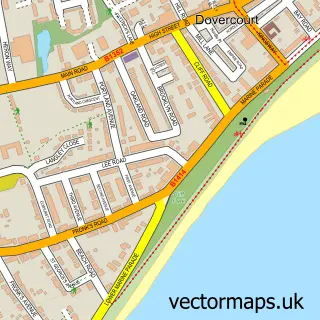
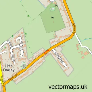
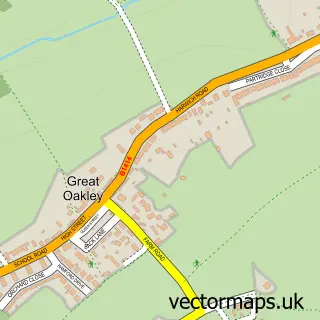
This Parkeston street map is a detailed vector street map covering a 750m x 750m area. Select a larger area to create and download your own vector street map of Parkeston.
The 750-metre map sample for Parkeston covers 169 mapped buildings and approximately 12.0 km of road detail, of which 16 named roads are named. The immediate area includes 2 GP surgeries within 2 miles and 8 MOT stations within 2 miles. The wider area around Parkeston features 1 tourism point of interest and 3 food and drink venues. To create a larger or custom map of Parkeston, the map builder lets you define your own coverage area and download editable SVG, PDF and PNG files.
Create a larger editable map of Parkeston
Choose any area you need and generate a high-quality vector map instantly. Perfect for print, planning, design, business and personal use.

This Parkeston street map in Essex is available as downloadable SVG, PDF and PNG map files, or as a printed map for planning, business, display, education, local information and design work. You can also create a larger custom map area using the map selector.
What this Parkeston map sample shows
Parkeston lies within Ramsey And Parkeston Cp parish, part of Dovercourt Vines & Parkeston ward in the Tendring District local authority area. The postcode geography for this area includes the CO postcode area, the CO12 postcode district and the CO12 4 postcode sector. Residents fall under the Nhs Suffolk And North East Essex Integrated Care Board for NHS services.
Local features near Parkeston
Within 2 milesAmenities and services in and around Parkeston.
Administrative and postcode information for Parkeston
Parkeston lies within Ramsey And Parkeston Cp parish, part of Dovercourt Vines & Parkeston ward in the Tendring District local authority area. The postcode geography for this area includes the CO postcode area, the CO12 postcode district and the CO12 4 postcode sector. Residents fall under the Nhs Suffolk And North East Essex Integrated Care Board for NHS services.
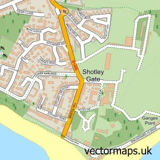
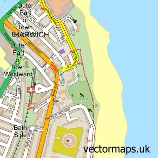
Nearby street map samples around Parkeston

More street maps in Essex
750 metre map area coverage
Boundary, postcode and point of interest information for the 750m x 750m rectangle centred on this sample map.
Boundaries containing map centre
Constituency: Harwich and North Essex Co Const
County: Essex County
District: Tendring District
Icb: NHS Essex ICB
Parish: Ramsey and Parkeston CP
Police Force: essex
Postcode District: CO12
Postcode Sector: CO12 4
Ward: Dovercourt Vines & Parkeston Ward
Nearby boundaries intersecting sample
Parish: Harwich CP
Postcode coverage
POI category counts
Building Supply Store: 2
Business To Business: 2
Charity Organization: 2
Contractor: 2
Convenience Store: 2
Discount Store: 2
Gas Station: 2
Pizza Restaurant: 2
Printing Services: 2
Professional Services: 2
Sample points of interest
- PayPoint
- Essex Tuning
- Essex Tuning & Vehicle Security
- Funky Foodie
- Greggs
- Kosheen Contract Cleaning
- R M Property Maintenance & Fencing
- Laila Foods
- DSV
- Laila Foods
- The Railway Cafe
- Harwich Hand Car Wash
Create a larger editable map of Parkeston
This sample shows only a 750 metre area. To create a larger map of Parkeston, use our map builder to choose your own coverage area, add titles and download editable SVG, PDF and PNG files.
Create a custom map of Parkeston