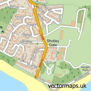
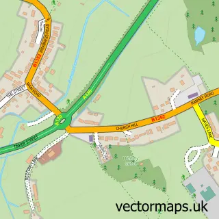
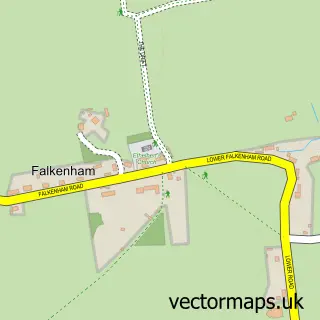
This Harwich street map is a detailed vector street map covering a 750m x 750m area. Select a larger area to create and download your own vector street map of Harwich.
The 750-metre map sample for Harwich covers 201 mapped buildings and approximately 13.3 km of road detail, of which 34 named roads are named. The immediate area includes 1 railway station, 2 GP surgeries within 2 miles, 8 pubs and 1 MOT station, with 5 within 2 miles. The wider area around Harwich features 7 tourism points of interest, 16 food and drink venues and 1 hotel. To create a larger or custom map of Harwich, the map builder lets you define your own coverage area and download editable SVG, PDF and PNG files.
Create a larger editable map of Harwich
Choose any area you need and generate a high-quality vector map instantly. Perfect for print, planning, design, business and personal use.

This Harwich street map in Essex is available as downloadable SVG, PDF and PNG map files, or as a printed map for planning, business, display, education, local information and design work. You can also create a larger custom map area using the map selector.
What this Harwich map sample shows
Harwich lies within Harwich Cp parish, part of Dovercourt Bay ward in the Tendring District local authority area. The postcode geography for this area includes the CO postcode area, the CO12 postcode district and the CO12 3 postcode sector. Residents fall under the Nhs Suffolk And North East Essex Integrated Care Board for NHS services.
Local features near Harwich
Within 2 milesAmenities and services in and around Harwich.
Administrative and postcode information for Harwich
The local authority covering Harwich is Tendring District, within the county of Essex. The settlement lies within Dovercourt Bay ward and Harwich Cp civil parish. The CO12 postcode district and CO12 3 postcode sector serve the immediate area. NHS provision in the area is delivered through East Suffolk And North Essex Nhs Foundation Trust.
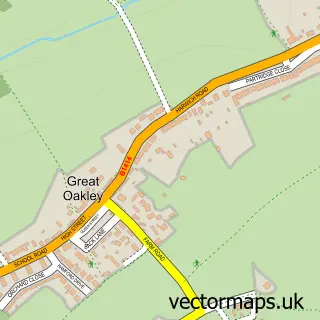
Nearby street map samples around Harwich

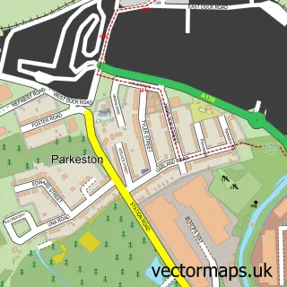
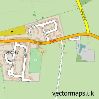
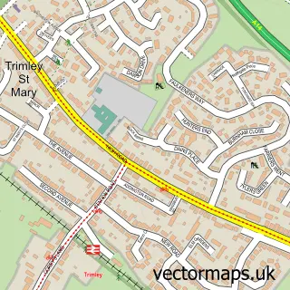
More street maps in Essex
750 metre map area coverage
Boundary, postcode and point of interest information for the 750m x 750m rectangle centred on this sample map.
Boundaries containing map centre
Constituency: Harwich and North Essex Co Const
County: Essex County
District: Tendring District
Parish: Harwich CP
Police Force: essex
Postcode District: CO12
Postcode Sector: CO12 3
Ward: Harwich & Kingsway Ward
Nearby boundaries intersecting sample
Icb: NHS Essex ICB
Postcode coverage
POI category counts
Pub: 8
Cafe: 4
Beauty Salon: 3
Charity Organization: 3
Museum: 3
Public And Government Association: 3
Restaurant: 3
Anglican Church: 2
Automotive Repair: 2
Beach: 2
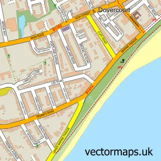
Sample points of interest
- St Nicholas Church
- St Nicholas' Church, Harwich
- Harwich Antiques
- Bodgeners Gallery
- Hansons Auctioneers - Cornwall
- Bathside Garage
- Otoshape
- Cabin Bakery
- Richard the Barber
- Dovercourt Beach
- Harwich Beach
- Cutaway
Create a larger editable map of Harwich
This sample shows only a 750 metre area. To create a larger map of Harwich, use our map builder to choose your own coverage area, add titles and download editable SVG, PDF and PNG files.
Create a custom map of Harwich