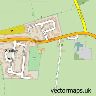
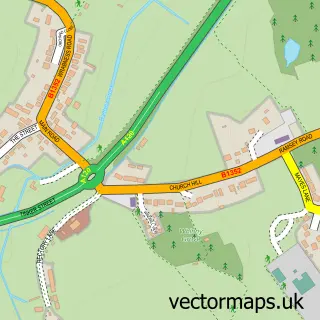
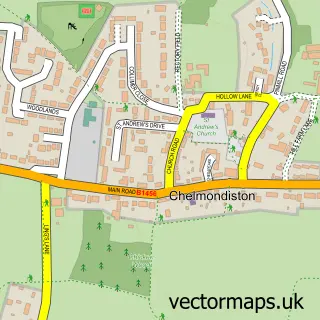
This Shotley Gate street map is a detailed vector street map covering a 750m x 750m area. Select a larger area to create and download your own vector street map of Shotley Gate.
The 750-metre map sample for Shotley Gate covers 309 mapped buildings and approximately 9.8 km of road detail, of which 19 named roads are named. The immediate area includes 2 GP surgeries within 2 miles, 2 pubs and 1 MOT station, with 6 within 2 miles. The wider area around Shotley Gate features 1 tourism point of interest and 2 food and drink venues. To create a larger or custom map of Shotley Gate, the map builder lets you define your own coverage area and download editable SVG, PDF and PNG files.
Create a larger editable map of Shotley Gate
Choose any area you need and generate a high-quality vector map instantly. Perfect for print, planning, design, business and personal use.

This Shotley Gate street map in Suffolk is available as downloadable SVG, PDF and PNG map files, or as a printed map for planning, business, display, education, local information and design work. You can also create a larger custom map area using the map selector.
What this Shotley Gate map sample shows
Residents fall under the Nhs Suffolk And North East Essex Integrated Care Board for NHS services.
Local features near Shotley Gate
Within 2 milesAmenities and services in and around Shotley Gate.
Administrative and postcode information for Shotley Gate
Within the county of Suffolk, Shotley Gate is a village. NHS services are coordinated through the Nhs Suffolk And North East Essex Integrated Care Board.
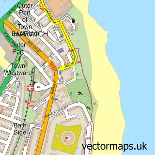
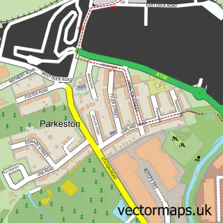
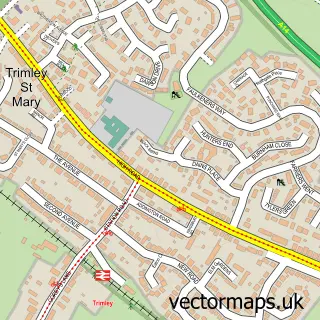
Nearby street map samples around Shotley Gate

More street maps in Suffolk
750 metre map area coverage
Boundary, postcode and point of interest information for the 750m x 750m rectangle centred on this sample map.
Boundaries containing map centre
Constituency: South Suffolk Co Const
County: Suffolk County
District: Babergh District
Icb: NHS Essex ICB
Parish: Shotley CP
Police Force: suffolk
Postcode District: IP9
Postcode Sector: IP9 1
Ward: Ganges Ward
Nearby boundaries intersecting sample
No additional intersecting boundaries found.
Postcode coverage
POI category counts
Appliance Repair Service: 3
Beach: 2
Pub: 2
Tree Services: 2
Automotive Repair: 1
Boat Charter: 1
Building Supply Store: 1
Business Management Services: 1
Carpet Store: 1
Clothing Store: 1
Sample points of interest
- LPG Suffolk
- Suffolk LPG Engineers
- Vaillant Installers
- Parkers Garage
- Shotley Front
- Shotley Gate Beach
- Clarke & Carter Interyacht Ltd.
- Judd's
- Estuary Vessel Management
- Judds Carpet & Upholstery Cleaning
- Malcolm Hall
- Shotley Florist
Create a larger editable map of Shotley Gate
This sample shows only a 750 metre area. To create a larger map of Shotley Gate, use our map builder to choose your own coverage area, add titles and download editable SVG, PDF and PNG files.
Create a custom map of Shotley Gate