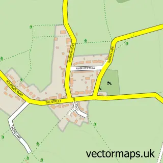
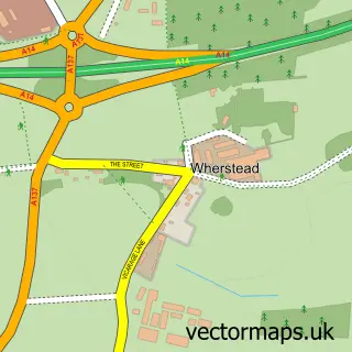
This Chelmondiston street map is a detailed vector street map covering a 750m x 750m area. Select a larger area to create and download your own vector street map of Chelmondiston.
The 750-metre map sample for Chelmondiston covers 282 mapped buildings and approximately 10.1 km of road detail, of which 12 named roads are named. The immediate area includes 1 school and 1 pub. The wider area around Chelmondiston features 2 tourism points of interest and 1 food and drink venue. To create a larger or custom map of Chelmondiston, the map builder lets you define your own coverage area and download editable SVG, PDF and PNG files.
Create a larger editable map of Chelmondiston
Choose any area you need and generate a high-quality vector map instantly. Perfect for print, planning, design, business and personal use.

This Chelmondiston street map in Suffolk is available as downloadable SVG, PDF and PNG map files, or as a printed map for planning, business, display, education, local information and design work. You can also create a larger custom map area using the map selector.
What this Chelmondiston map sample shows
Chelmondiston lies within Chelmondiston Cp parish, part of Orwell ward in the Babergh District local authority area. The postcode geography for this area includes the IP postcode area, the IP9 postcode district and the IP9 1 postcode sector. Residents fall under the Nhs Suffolk And North East Essex Integrated Care Board for NHS services.
Local features near Chelmondiston
Within 2 milesAmenities and services in and around Chelmondiston.
Administrative and postcode information for Chelmondiston
The local authority covering Chelmondiston is Babergh District, within the county of Suffolk. The settlement lies within Orwell ward and Chelmondiston Cp civil parish. The IP9 postcode district and IP9 1 postcode sector serve the immediate area. NHS provision in the area is delivered through East Suffolk And North Essex Nhs Foundation Trust.
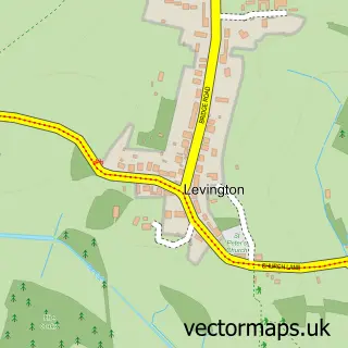
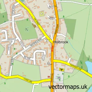
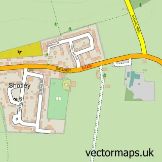
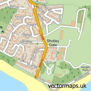
Nearby street map samples around Chelmondiston

More street maps in Suffolk
750 metre map area coverage
Boundary, postcode and point of interest information for the 750m x 750m rectangle centred on this sample map.
Boundaries containing map centre
Constituency: South Suffolk Co Const
County: Suffolk County
District: Babergh District
Icb: NHS Essex ICB
Parish: Chelmondiston CP
Police Force: suffolk
Postcode District: IP9
Postcode Sector: IP9 1
Ward: Orwell Ward
Nearby boundaries intersecting sample
No additional intersecting boundaries found.
Postcode coverage
POI category counts
Preschool: 2
Shipping Center: 2
Accountant: 1
Anglican Church: 1
Art Museum: 1
Building Supply Store: 1
Campground: 1
Chimney Sweep: 1
Chinese Restaurant: 1
Church Cathedral: 1
Sample points of interest
- Foreshore Accountancy
- St Andrew's Chelmondiston
- H M S Ganges Association Museum
- Chim Chimney
- Redlands CL Site
- Chim Chimney
- Laws Cottage
- Chelmondiston Methodist Church
- Hollingsworths Store
- Pin Mill Cruising
- Chelmondiston C of E Primary School
- Hers & Sirs
Create a larger editable map of Chelmondiston
This sample shows only a 750 metre area. To create a larger map of Chelmondiston, use our map builder to choose your own coverage area, add titles and download editable SVG, PDF and PNG files.
Create a custom map of Chelmondiston