This Beadnell street map is a detailed vector street map covering a 750m x 750m area. Select a larger area to create and download your own vector street map of Beadnell.
The 750-metre map sample for Beadnell covers 97 mapped buildings and approximately 12.8 km of road detail, of which 11 named roads are named. The immediate area includes 3 pubs and 2 MOT stations within 2 miles. The wider area around Beadnell features 2 tourism points of interest, 5 food and drink venues and 10 hotels. To create a larger or custom map of Beadnell, the map builder lets you define your own coverage area and download editable SVG, PDF and PNG files.
Create a larger editable map of Beadnell
Choose any area you need and generate a high-quality vector map instantly. Perfect for print, planning, design, business and personal use.

This Beadnell street map in Northumberland is available as downloadable SVG, PDF and PNG map files, or as a printed map for planning, business, display, education, local information and design work. You can also create a larger custom map area using the map selector.
What this Beadnell map sample shows
Beadnell lies within Beadnell Cp parish, part of Bamburgh ward in the Northumberland local authority area. The postcode geography for this area includes the NE postcode area, the NE67 postcode district and the NE67 5 postcode sector. Residents fall under the Nhs North East And North Cumbria Integrated Care Board for NHS services.
Local features near Beadnell
Within 2 milesAmenities and services in and around Beadnell.
Administrative and postcode information for Beadnell
Beadnell lies within Beadnell Cp parish, part of Bamburgh ward in the Northumberland local authority area. The postcode geography for this area includes the NE postcode area, the NE67 postcode district and the NE67 5 postcode sector. Residents fall under the Nhs North East And North Cumbria Integrated Care Board for NHS services.
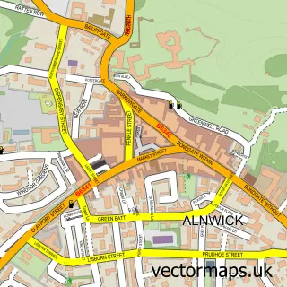
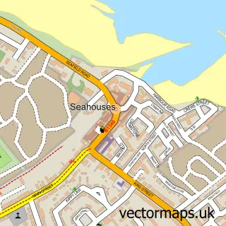
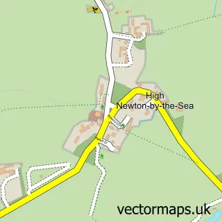
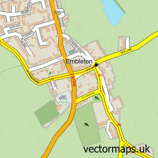
Nearby street map samples around Beadnell

More street maps in Northumberland
750 metre map area coverage
Boundary, postcode and point of interest information for the 750m x 750m rectangle centred on this sample map.
Boundaries containing map centre
Constituency: North Northumberland Co Const
District: Northumberland
Icb: NHS North East and North Cumbria ICB
Parish: Beadnell CP
Police Force: northumberland
Postcode District: NE67
Postcode Sector: NE67 5
Nearby boundaries intersecting sample
No additional intersecting boundaries found.
Postcode coverage
POI category counts
Hotel: 9
Holiday Rental Home: 5
Cottage: 4
Pub: 3
Bed And Breakfast: 2
Landmark And Historical Building: 2
Anglican Church: 1
Beach: 1
Cabin: 1
Cafe: 1
Sample points of interest
- St Ebba- Beadnell Parish Church
- Ross Back Sands Beach
- Haven House B&B
- The Hemmel
- On the Beach
- Salt Water Cafe
- St Ebbas Church, Beadnell
- The courtyard coffee shop
- Beadnell Women's Institute
- Jasmine Cottage
- Rockpool Cottage
- Smugglers Den
Create a larger editable map of Beadnell
This sample shows only a 750 metre area. To create a larger map of Beadnell, use our map builder to choose your own coverage area, add titles and download editable SVG, PDF and PNG files.
Create a custom map of Beadnell