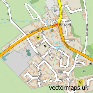
This Seahouses street map is a detailed vector street map covering a 750m x 750m area. Select a larger area to create and download your own vector street map of Seahouses.
The 750-metre map sample for Seahouses covers 97 mapped buildings and approximately 15.0 km of road detail, of which 25 named roads are named. The immediate area includes 3 pubs and 1 MOT station, with 2 within 2 miles. The wider area around Seahouses features 4 tourism points of interest, 14 food and drink venues and 10 hotels. To create a larger or custom map of Seahouses, the map builder lets you define your own coverage area and download editable SVG, PDF and PNG files.
Create a larger editable map of Seahouses
Choose any area you need and generate a high-quality vector map instantly. Perfect for print, planning, design, business and personal use.

This Seahouses street map in Northumberland is available as downloadable SVG, PDF and PNG map files, or as a printed map for planning, business, display, education, local information and design work. You can also create a larger custom map area using the map selector.
What this Seahouses map sample shows
Seahouses lies within North Sunderland Cp parish, part of Bamburgh ward in the Northumberland local authority area. The postcode geography for this area includes the NE postcode area, the NE68 postcode district and the NE68 7 postcode sector. Residents fall under the Nhs North East And North Cumbria Integrated Care Board for NHS services.
Local features near Seahouses
Within 2 milesAmenities and services in and around Seahouses.
Administrative and postcode information for Seahouses
Seahouses lies within North Sunderland Cp parish, part of Bamburgh ward in the Northumberland local authority area. The postcode geography for this area includes the NE postcode area, the NE68 postcode district and the NE68 7 postcode sector. Residents fall under the Nhs North East And North Cumbria Integrated Care Board for NHS services.
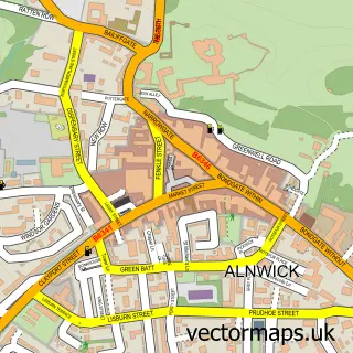
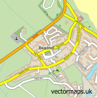
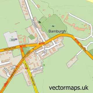
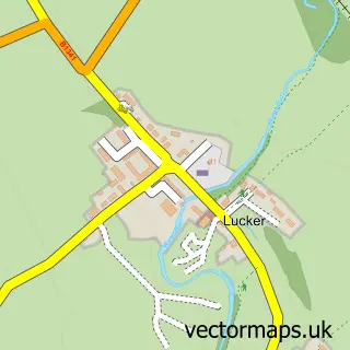
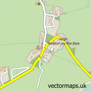
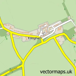
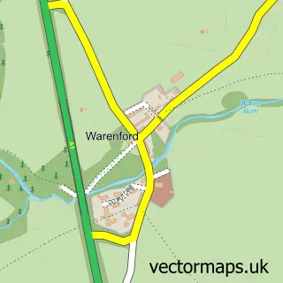
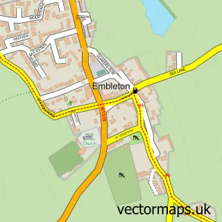
Nearby street map samples around Seahouses

More street maps in Northumberland
750 metre map area coverage
Boundary, postcode and point of interest information for the 750m x 750m rectangle centred on this sample map.
Boundaries containing map centre
Constituency: North Northumberland Co Const
District: Northumberland
Icb: NHS North East and North Cumbria ICB
Parish: North Sunderland CP
Police Force: northumberland
Postcode District: NE68
Postcode Sector: NE68 7
Nearby boundaries intersecting sample
No additional intersecting boundaries found.
Postcode coverage
POI category counts
Holiday Rental Home: 12
Bed And Breakfast: 11
Hotel: 10
Boat Tours: 5
Coffee Shop: 5
Cottage: 5
Flowers And Gifts Shop: 5
Cafe: 4
Gift Shop: 4
Bakery: 3
Sample points of interest
- Nine King Street Seahouses
- Seafield Apartments
- Sue Ryder
- Seahouses Amusements
- The Cooperative Food (BF) Seahouses (ERF)
- AJK Thompson
- The Curious Cookie
- Trotters Family Bakers
- Trotters Family Bakers and Cafe
- Barclays Bank
- Bamburgh Castle Inn
- The New Harbour Inn
Create a larger editable map of Seahouses
This sample shows only a 750 metre area. To create a larger map of Seahouses, use our map builder to choose your own coverage area, add titles and download editable SVG, PDF and PNG files.
Create a custom map of Seahouses