This Embleton street map is a detailed vector street map covering a 750m x 750m area. Select a larger area to create and download your own vector street map of Embleton.
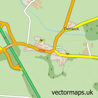
The 750-metre map sample for Embleton covers 85 mapped buildings and approximately 13.9 km of road detail, of which 10 named roads are named. The immediate area includes 1 school, 3 pubs and 1 MOT station. The wider area around Embleton features 3 tourism points of interest, 4 food and drink venues and 3 hotels. To create a larger or custom map of Embleton, the map builder lets you define your own coverage area and download editable SVG, PDF and PNG files.
Create a larger editable map of Embleton
Choose any area you need and generate a high-quality vector map instantly. Perfect for print, planning, design, business and personal use.

This Embleton street map in Northumberland is available as downloadable SVG, PDF and PNG map files, or as a printed map for planning, business, display, education, local information and design work. You can also create a larger custom map area using the map selector.
What this Embleton map sample shows
Embleton lies within Embleton Cp parish, part of Longhoughton ward in the Northumberland local authority area. The postcode geography for this area includes the NE postcode area, the NE66 postcode district and the NE66 3 postcode sector. Residents fall under the Nhs North East And North Cumbria Integrated Care Board for NHS services.
Local features near Embleton
Within 2 milesAmenities and services in and around Embleton.
Administrative and postcode information for Embleton
Embleton lies within Embleton Cp parish, part of Longhoughton ward in the Northumberland local authority area. The postcode geography for this area includes the NE postcode area, the NE66 postcode district and the NE66 3 postcode sector. Residents fall under the Nhs North East And North Cumbria Integrated Care Board for NHS services.
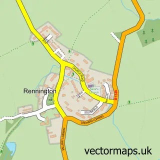
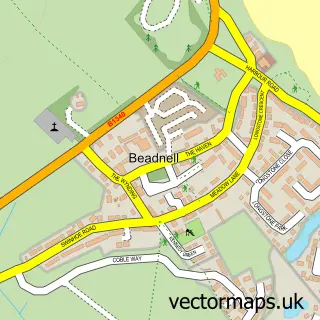
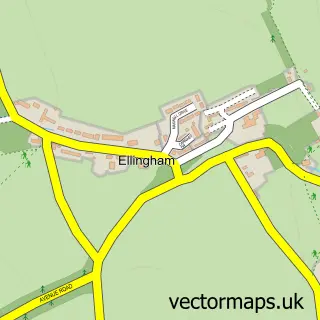
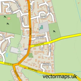
Nearby street map samples around Embleton

More street maps in Northumberland
750 metre map area coverage
Boundary, postcode and point of interest information for the 750m x 750m rectangle centred on this sample map.
Boundaries containing map centre
Constituency: North Northumberland Co Const
District: Northumberland
Icb: NHS North East and North Cumbria ICB
Parish: Embleton CP
Police Force: northumberland
Postcode District: NE66
Postcode Sector: NE66 3
Nearby boundaries intersecting sample
No additional intersecting boundaries found.
Postcode coverage
POI category counts
Bed And Breakfast: 3
Hotel: 3
Pub: 3
Engine Repair Service: 2
Park: 2
Shipping Center: 2
Anglican Church: 1
Automotive Repair: 1
Bar: 1
Church Cathedral: 1
Sample points of interest
- Church of the Holy Trinity
- Unipart Car Care Centre
- Bluebell Inn
- Dunstanburgh Castle Hotel
- Jubilee House
- Jubilee House
- Holy Trinity Church
- Creighton Memorial Hall
- The Village Farm Shop
- Embleton Surgery
- Lock - FIX Northumberland
- Lock-Fix Northumberland Tel: 07531 229775
Create a larger editable map of Embleton
This sample shows only a 750 metre area. To create a larger map of Embleton, use our map builder to choose your own coverage area, add titles and download editable SVG, PDF and PNG files.
Create a custom map of Embleton