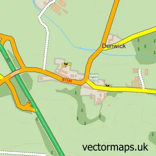
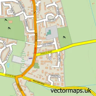
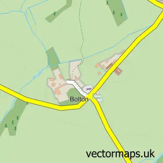
This Alnwick street map is a detailed vector street map covering a 750m x 750m area. Select a larger area to create and download your own vector street map of Alnwick.
The 750-metre map sample for Alnwick covers 120 mapped buildings and approximately 18.6 km of road detail, of which 47 named roads are named. The immediate area includes 1 GP surgery within 2 miles, 19 pubs and 7 MOT stations within 2 miles. The wider area around Alnwick features 6 tourism points of interest, 39 food and drink venues and 11 hotels. To create a larger or custom map of Alnwick, the map builder lets you define your own coverage area and download editable SVG, PDF and PNG files.
Create a larger editable map of Alnwick
Choose any area you need and generate a high-quality vector map instantly. Perfect for print, planning, design, business and personal use.

This Alnwick street map in Northumberland is available as downloadable SVG, PDF and PNG map files, or as a printed map for planning, business, display, education, local information and design work. You can also create a larger custom map area using the map selector.
What this Alnwick map sample shows
Alnwick lies within Alnwick Cp parish, part of Alnwick ward in the Northumberland local authority area. The postcode geography for this area includes the NE postcode area, the NE66 postcode district and the NE66 2 postcode sector. Residents fall under the Nhs North East And North Cumbria Integrated Care Board for NHS services.
Local features near Alnwick
Within 2 milesAmenities and services in and around Alnwick.
Administrative and postcode information for Alnwick
Alnwick lies within Alnwick Cp parish, part of Alnwick ward in the Northumberland local authority area. The postcode geography for this area includes the NE postcode area, the NE66 postcode district and the NE66 2 postcode sector. Residents fall under the Nhs North East And North Cumbria Integrated Care Board for NHS services.
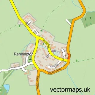
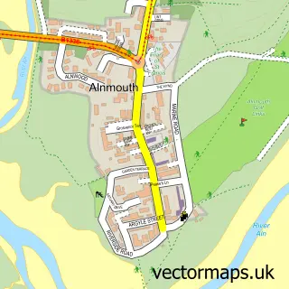
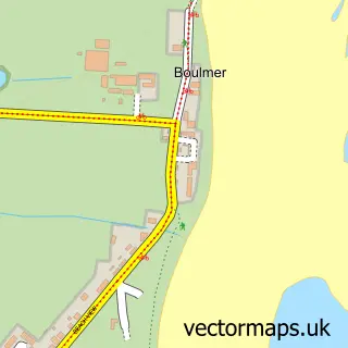
Nearby street map samples around Alnwick

More street maps in Northumberland
750 metre map area coverage
Boundary, postcode and point of interest information for the 750m x 750m rectangle centred on this sample map.
Boundaries containing map centre
Constituency: North Northumberland Co Const
District: Northumberland
Icb: NHS North East and North Cumbria ICB
Parish: Alnwick CP
Police Force: northumberland
Postcode District: NE66
Postcode Sector: NE66 1
Nearby boundaries intersecting sample
No additional intersecting boundaries found.
Postcode coverage
POI category counts
Pub: 19
Holiday Rental Home: 11
Hotel: 11
Bed And Breakfast: 10
Restaurant: 9
Flowers And Gifts Shop: 8
Hair Salon: 8
Real Estate Agent: 8
Banks: 7
Beauty Salon: 7
Sample points of interest
- The Barley Loft
- Douglas Home & Co.
- FINE Fishing at the Warehouse
- St Michael's Church, Alnwick
- Alnwick Vintage & Antique
- Athey Antiques
- Gecko Curios
- McTigue’s Antiques
- Swansfield Trading
- The Beehive
- Alnwick TA Centre
- Brightwater Gallery
Create a larger editable map of Alnwick
This sample shows only a 750 metre area. To create a larger map of Alnwick, use our map builder to choose your own coverage area, add titles and download editable SVG, PDF and PNG files.
Create a custom map of Alnwick