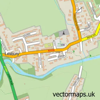
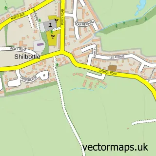
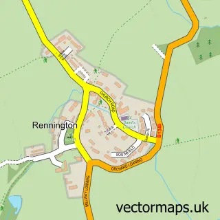
This Hipsburn street map is a detailed vector street map covering a 750m x 750m area. Select a larger area to create and download your own vector street map of Hipsburn.
The 750-metre map sample for Hipsburn covers 99 mapped buildings and approximately 9.3 km of road detail, of which 8 named roads are named. The immediate area includes 1 railway station. To create a larger or custom map of Hipsburn, the map builder lets you define your own coverage area and download editable SVG, PDF and PNG files.
Create a larger editable map of Hipsburn
Choose any area you need and generate a high-quality vector map instantly. Perfect for print, planning, design, business and personal use.

This Hipsburn street map in Northumberland is available as downloadable SVG, PDF and PNG map files, or as a printed map for planning, business, display, education, local information and design work. You can also create a larger custom map area using the map selector.
What this Hipsburn map sample shows
Hipsburn lies within Lesbury Cp parish, part of Alnwick ward in the Northumberland local authority area. The postcode geography for this area includes the NE postcode area, the NE66 postcode district and the NE66 3 postcode sector. Residents fall under the Nhs North East And North Cumbria Integrated Care Board for NHS services.
Local features near Hipsburn
Within 2 milesAmenities and services in and around Hipsburn.
Administrative and postcode information for Hipsburn
The local authority covering Hipsburn is Northumberland, within the county of Northumberland. The settlement lies within Alnwick ward and Lesbury Cp civil parish. The NE66 postcode district and NE66 3 postcode sector serve the immediate area. NHS provision in the area is delivered through Northumbria Healthcare Nhs Foundation Trust.
Nearby street map samples around Hipsburn

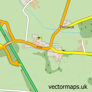
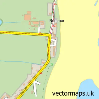
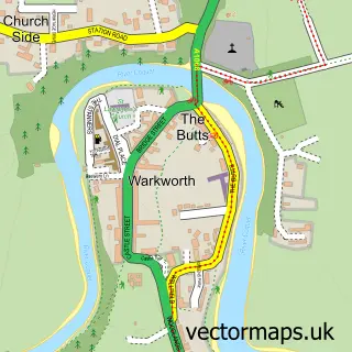
More street maps in Northumberland
750 metre map area coverage
Boundary, postcode and point of interest information for the 750m x 750m rectangle centred on this sample map.
Boundaries containing map centre
Constituency: North Northumberland Co Const
District: Northumberland
Icb: NHS North East and North Cumbria ICB
Parish: Lesbury CP
Police Force: northumberland
Postcode District: NE66
Postcode Sector: NE66 3
Nearby boundaries intersecting sample
Postcode Sector: NE66 2
Postcode coverage
POI category counts
Train Station: 5
Accommodation: 1
Building Supply Store: 1
Church Cathedral: 1
Elementary School: 1
Gardener: 1
Laundromat: 1
Pet Sitting: 1
Photographer: 1
Roofing: 1
Sample points of interest
- Hipsburn
- D Inkster Joinery
- St Marys Church Lesbury
- Hipsburn Primary School
- Stewart services
- Tiggy-Winkles laundry room
- RF Pet Care
- Lee Frost Photography
- Robert porteous roofing of alnwick
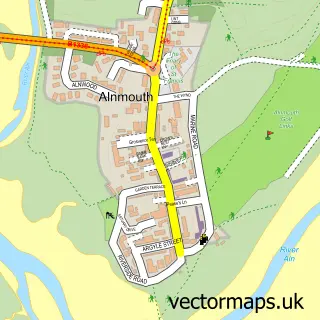
- Almounth SST
- Alnmouth
- Alnmouth Railway Station (ALM)
Create a larger editable map of Hipsburn
This sample shows only a 750 metre area. To create a larger map of Hipsburn, use our map builder to choose your own coverage area, add titles and download editable SVG, PDF and PNG files.
Create a custom map of Hipsburn