Vector Maps logo
Home Why it works Popular maps Districts Samples Customizer Create Your Map
VectorMaps.uk
Home Popular maps Districts Samples Customizer Create Your Map Privacy Disclaimer
Home / UK Maps / Northumberland / Boulmer Map

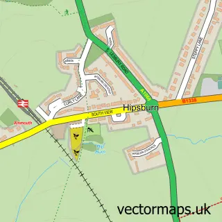
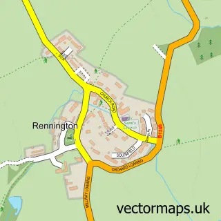
This Boulmer street map is a detailed vector street map covering a 750m x 750m area. Select a larger area to create and download your own vector street map of Boulmer.

Boulmer is a village in Northumberland, in the North East of England. The settlement falls within the Berwick-Upon-Tweed parliamentary constituency.

The 750-metre map sample for Boulmer covers 36 mapped buildings and approximately 5.9 km of road detail, of which 1 named road are named. The immediate area includes 1 pub. The wider area around Boulmer features 1 food and drink venue and 1 hotel. To create a larger or custom map of Boulmer, the map builder lets you define your own coverage area and download editable SVG, PDF and PNG files.

36Buildings
5.94 kmRoads
1Named roads
612Residents within 2 miles
Create your own

Create a larger editable map of Boulmer

Choose any area you need and generate a high-quality vector map instantly. Perfect for print, planning, design, business and personal use.

Choose any location
Editable SVG files
Any size up to A0
PDF, PNG & more
Instant download
High quality guaranteed
Create My Custom Map
Secure, private & no credit card required
Boulmer Vector Street Map
750m Sample
Boulmer vector street map sample showing roads, buildings and local features in a 750 metre preview area
Buy Boulmer Map Print from £12.95 Buy Boulmer Digital Map from £6

This Boulmer street map in Northumberland is available as downloadable SVG, PDF and PNG map files, or as a printed map for planning, business, display, education, local information and design work. You can also create a larger custom map area using the map selector.

What this Boulmer map sample shows

Boulmer lies within Longhoughton Cp parish, part of Longhoughton ward in the Northumberland local authority area. Residents fall under the Nhs North East And North Cumbria Integrated Care Board for NHS services.

Local features near Boulmer

Within 2 miles

Amenities and services in and around Boulmer.

1 Food & drink
1 Pubs
1 Hotels

Counts are approximate and based on publicly available data.

Administrative and postcode information for Boulmer

Boulmer lies within Longhoughton Cp parish, part of Longhoughton ward in the Northumberland local authority area. Residents fall under the Nhs North East And North Cumbria Integrated Care Board for NHS services.

Parish Longhoughton CP
Ward Longhoughton
District / local authority Northumberland
County Northumberland
Historic county Northumberland
Parliamentary constituency Berwick-upon-Tweed
Region North East
Country England

Nearby street map samples around Boulmer

Street map sample of Alnwick, Northumberland Alnwick Town - Northumberland - 5.0 miles Street map sample of Newcastle upon Tyne, Tyne & Wear Newcastle upon Tyne City - Tyne & Wear - 30.9 miles Street map sample of Longhoughton, Northumberland Longhoughton Village - Northumberland - 1.5 miles Street map sample of Lesbury, Northumberland Lesbury Village - Northumberland - 2.5 miles Street map sample of Alnmouth, Northumberland Alnmouth Village - Northumberland - 2.6 miles Street map sample of Hipsburn, Northumberland Hipsburn Village - Northumberland - 2.8 miles Street map sample of Craster, Northumberland Craster Village - Northumberland - 3.5 miles Street map sample of Dunstan, Northumberland Dunstan Village - Northumberland - 3.7 miles Street map sample of Denwick, Northumberland Denwick Village - Northumberland - 3.8 miles Street map sample of Rennington, Northumberland Rennington Village - Northumberland - 4.3 miles

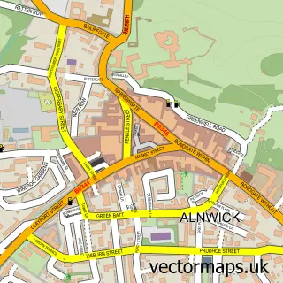
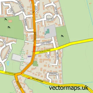
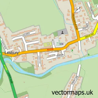
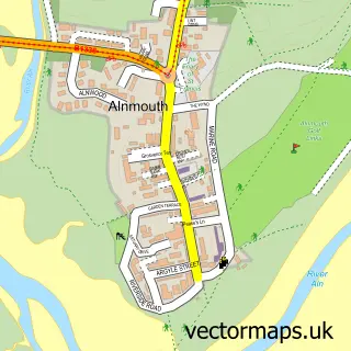
More street maps in Northumberland

Street map sample of Longhoughton, Northumberland Longhoughton Village - 1.5 miles Street map sample of Lesbury, Northumberland Lesbury Village - 2.5 miles Street map sample of Alnmouth, Northumberland Alnmouth Village - 2.6 miles Street map sample of Hipsburn, Northumberland Hipsburn Village - 2.8 miles Street map sample of Craster, Northumberland Craster Village - 3.5 miles

750 metre map area coverage

Boundary, postcode and point of interest information for the 750m x 750m rectangle centred on this sample map.

Boundaries containing map centre

Constituency: North Northumberland Co Const

District: Northumberland

Icb: NHS North East and North Cumbria ICB

Parish: Longhoughton CP

Police Force: northumberland

Postcode District: NE66

Postcode Sector: NE66 3

Nearby boundaries intersecting sample

No additional intersecting boundaries found.

Postcode coverage

NE66 NE66 3

POI category counts

Pet Sitting: 2

Beach: 1

Charity Organization: 1

Holiday Rental Home: 1

Hotel: 1

Inn: 1

Pub: 1

Sample points of interest

  • Boulmer beach Beach
  • Boulmer Volunteer Rescue Service Charity Organization
  • Driftwood Retreat Holiday Rental Home
  • The Fishermans Inn At Boulmer Hotel
  • Fishing Boat Inn Inn
  • Barking Mad Dog Care Pet Sitting
  • Barking Mad Northumberland Pet Sitting
  • The Fishing Boat Inn Pub

Create a larger editable map of Boulmer

This sample shows only a 750 metre area. To create a larger map of Boulmer, use our map builder to choose your own coverage area, add titles and download editable SVG, PDF and PNG files.

Create a custom map of Boulmer

Phone 01751 473136 | Copyright Vectormaps.uk 2026

Samples Customizer Privacy Disclaimer
Boulmer Vector Street Map
Boulmer enlarged street map sample showing a 750 metre preview area