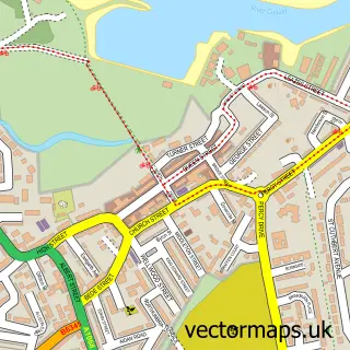
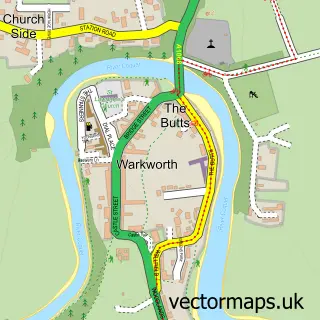
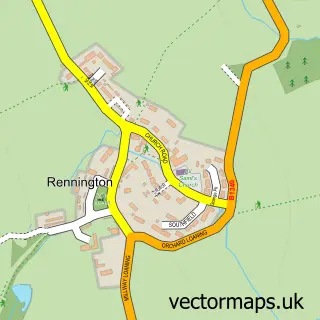
This Alnmouth street map is a detailed vector street map covering a 750m x 750m area. Select a larger area to create and download your own vector street map of Alnmouth.
The 750-metre map sample for Alnmouth covers 61 mapped buildings and approximately 8.3 km of road detail, of which 15 named roads are named. The immediate area includes 4 pubs. The wider area around Alnmouth features 1 tourism point of interest, 8 food and drink venues and 11 hotels. To create a larger or custom map of Alnmouth, the map builder lets you define your own coverage area and download editable SVG, PDF and PNG files.
Create a larger editable map of Alnmouth
Choose any area you need and generate a high-quality vector map instantly. Perfect for print, planning, design, business and personal use.

This Alnmouth street map in Northumberland is available as downloadable SVG, PDF and PNG map files, or as a printed map for planning, business, display, education, local information and design work. You can also create a larger custom map area using the map selector.
What this Alnmouth map sample shows
Alnmouth lies within Alnmouth Cp parish, part of Alnwick ward in the Northumberland local authority area. The postcode geography for this area includes the NE postcode area, the NE66 postcode district and the NE66 3 postcode sector. Residents fall under the Nhs North East And North Cumbria Integrated Care Board for NHS services.
Local features near Alnmouth
Within 2 milesAmenities and services in and around Alnmouth.
Administrative and postcode information for Alnmouth
The local authority covering Alnmouth is Northumberland, within the county of Northumberland. The settlement lies within Alnwick ward and Alnmouth Cp civil parish. The NE66 postcode district and NE66 3 postcode sector serve the immediate area. NHS provision in the area is delivered through Northumbria Healthcare Nhs Foundation Trust.
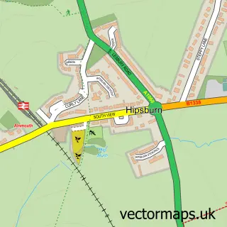
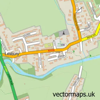
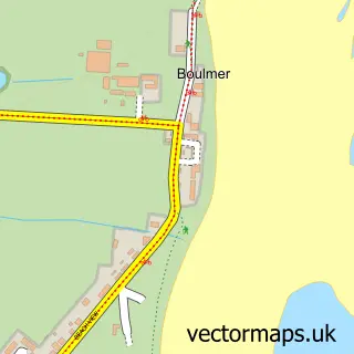
Nearby street map samples around Alnmouth

More street maps in Northumberland
750 metre map area coverage
Boundary, postcode and point of interest information for the 750m x 750m rectangle centred on this sample map.
Boundaries containing map centre
Constituency: North Northumberland Co Const
District: Northumberland
Icb: NHS North East and North Cumbria ICB
Parish: Alnmouth CP
Police Force: northumberland
Postcode District: NE66
Postcode Sector: NE66 2
Nearby boundaries intersecting sample
Parish: Lesbury CP
Postcode Sector: NE66 3
Postcode coverage
POI category counts
Hotel: 11
Bed And Breakfast: 7
Pub: 4
Restaurant: 3
Anglican Church: 2
Books Mags Music And Video: 2
Flowers And Gifts Shop: 2
Self Catering Accommodation: 2
Transportation: 2
American Restaurant: 1
Sample points of interest
- Bistro 23
- St John the Baptist Parish Church
- St John the Baptist, Alnmouth
- The Old School Gallery
- The Serviceman, Alnmouth Club
- Beaches
- Nether Grange Hotel Alnmouth
- Seafield House
- Sefton House
- St Valery Boutique Bed and Breakfast
- St. Valery Boutique Bed + Breakfast
- The Old Granary Alnmouth
Create a larger editable map of Alnmouth
This sample shows only a 750 metre area. To create a larger map of Alnmouth, use our map builder to choose your own coverage area, add titles and download editable SVG, PDF and PNG files.
Create a custom map of Alnmouth