This Amble street map is a detailed vector street map covering a 750m x 750m area. Select a larger area to create and download your own vector street map of Amble.
The 750-metre map sample for Amble covers 106 mapped buildings and approximately 14.9 km of road detail, of which 48 named roads are named. The immediate area includes 1 GP surgery, 13 pubs and 1 MOT station, with 2 within 2 miles. The wider area around Amble features 1 tourism point of interest, 24 food and drink venues and 5 hotels. To create a larger or custom map of Amble, the map builder lets you define your own coverage area and download editable SVG, PDF and PNG files.
Create a larger editable map of Amble
Choose any area you need and generate a high-quality vector map instantly. Perfect for print, planning, design, business and personal use.

This Amble street map in Northumberland is available as downloadable SVG, PDF and PNG map files, or as a printed map for planning, business, display, education, local information and design work. You can also create a larger custom map area using the map selector.
What this Amble map sample shows
Amble lies within Amble By The Sea Cp parish, part of Amble West With Warkworth ward in the Northumberland local authority area. The postcode geography for this area includes the NE postcode area, the NE65 postcode district and the NE65 0 postcode sector. Residents fall under the Nhs North East And North Cumbria Integrated Care Board for NHS services.
Local features near Amble
Within 2 milesAmenities and services in and around Amble.
Administrative and postcode information for Amble
The local authority covering Amble is Northumberland, within the county of Northumberland. The settlement lies within Amble West With Warkworth ward and Amble By The Sea Cp civil parish. The NE65 postcode district and NE65 0 postcode sector serve the immediate area. NHS provision in the area is delivered through Northumbria Healthcare Nhs Foundation Trust.
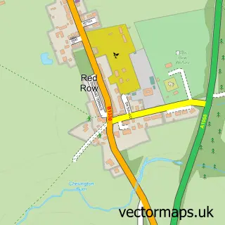
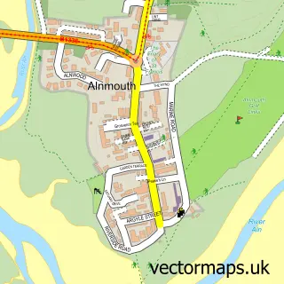
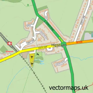
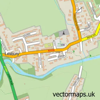
Nearby street map samples around Amble

More street maps in Northumberland
750 metre map area coverage
Boundary, postcode and point of interest information for the 750m x 750m rectangle centred on this sample map.
Boundaries containing map centre
Constituency: North Northumberland Co Const
District: Northumberland
Icb: NHS North East and North Cumbria ICB
Parish: Amble By the Sea CP
Police Force: northumberland
Postcode District: NE65
Postcode Sector: NE65 0
Nearby boundaries intersecting sample
Parish: Warkworth CP
Postcode coverage
POI category counts
Pub: 13
Holiday Rental Home: 7
Flowers And Gifts Shop: 5
Gas Station: 5
Hotel: 5
Banks: 4
Beauty And Spa: 4
Cafe: 4
Convenience Store: 4
General Dentistry: 4
Sample points of interest
- Nickalls & Co. Ltd.
- St Cuthbert's Church
- The Boat Shed Gallery
- Amble Pin Cushion
- Edie Pebble
- Lionheart Hand Car Wash
- A M Electrics
- Lionheart Leather
- Robbs Auto Repairs
- Dorty Cakes
- Trotters Family Bakers
- Barclays Bank - Amble
Create a larger editable map of Amble
This sample shows only a 750 metre area. To create a larger map of Amble, use our map builder to choose your own coverage area, add titles and download editable SVG, PDF and PNG files.
Create a custom map of Amble